
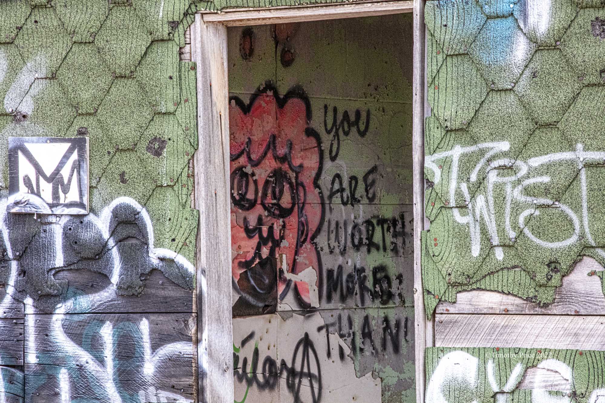
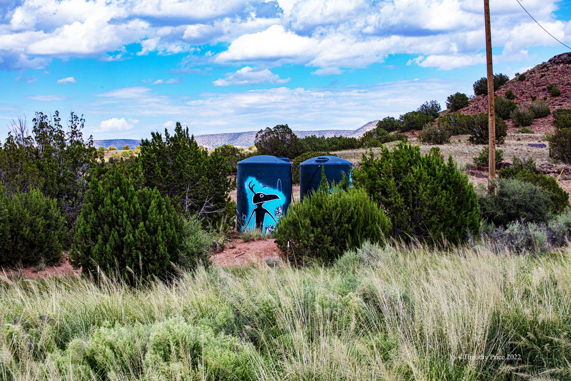
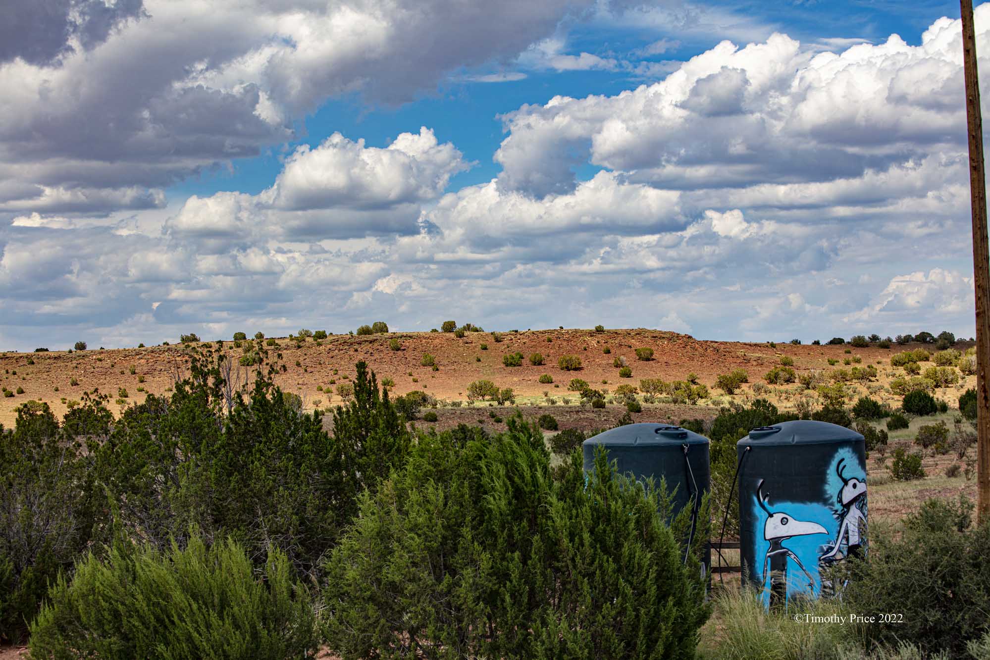
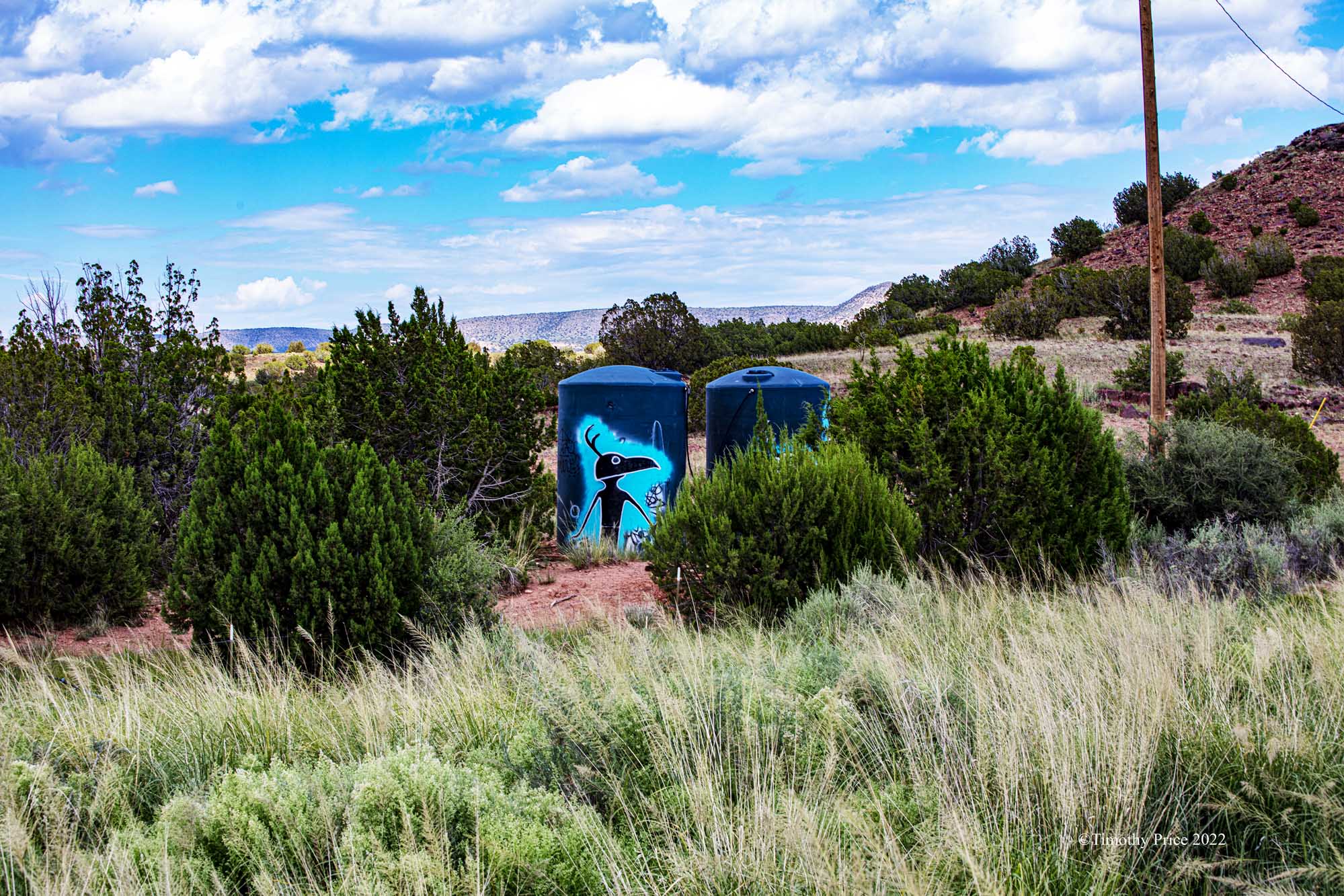
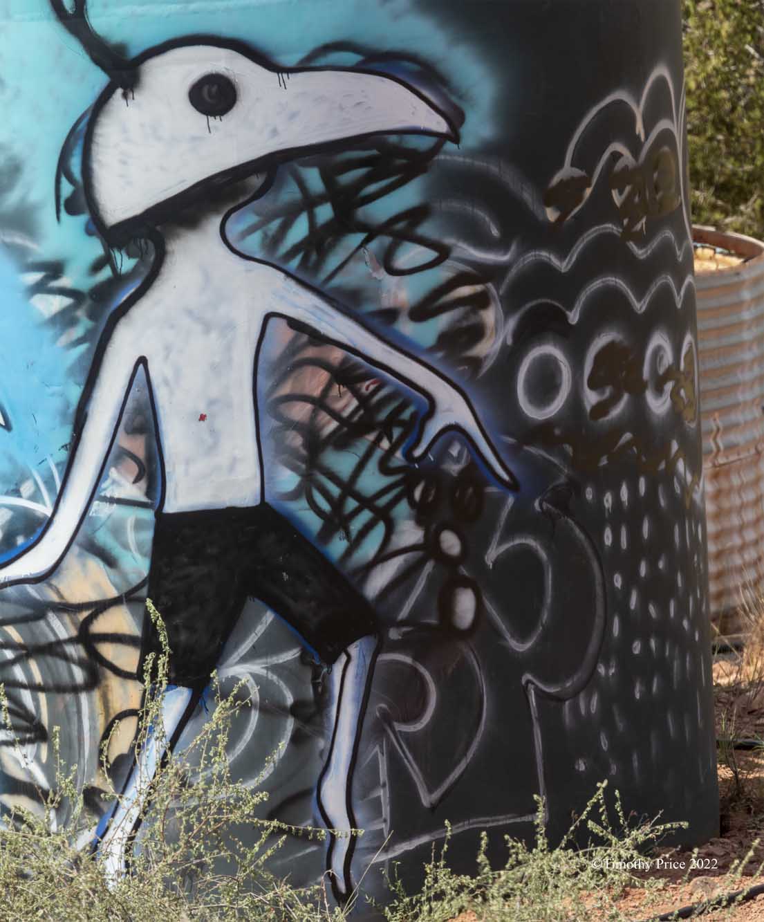
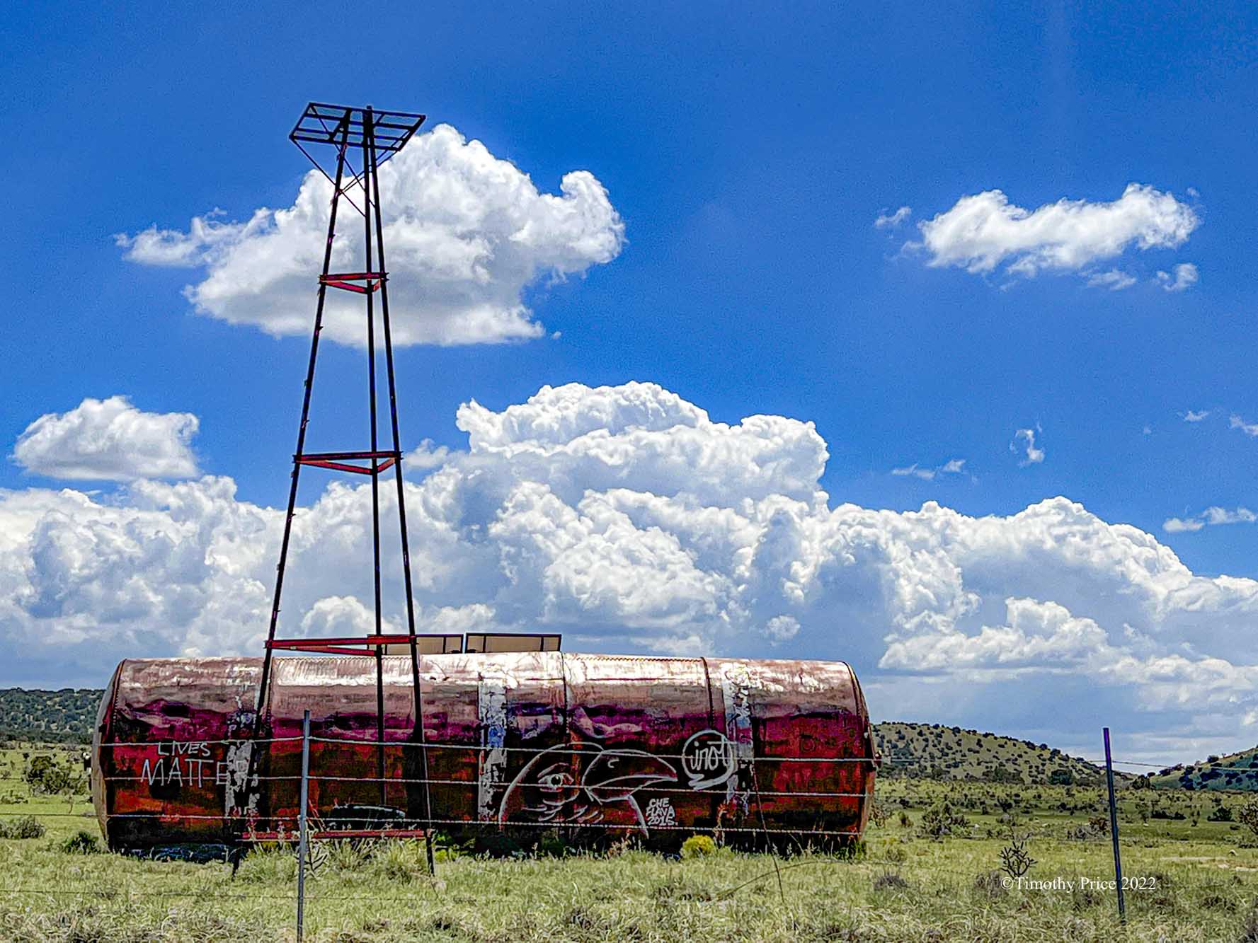
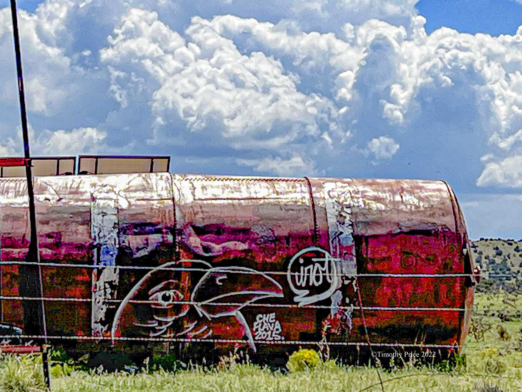
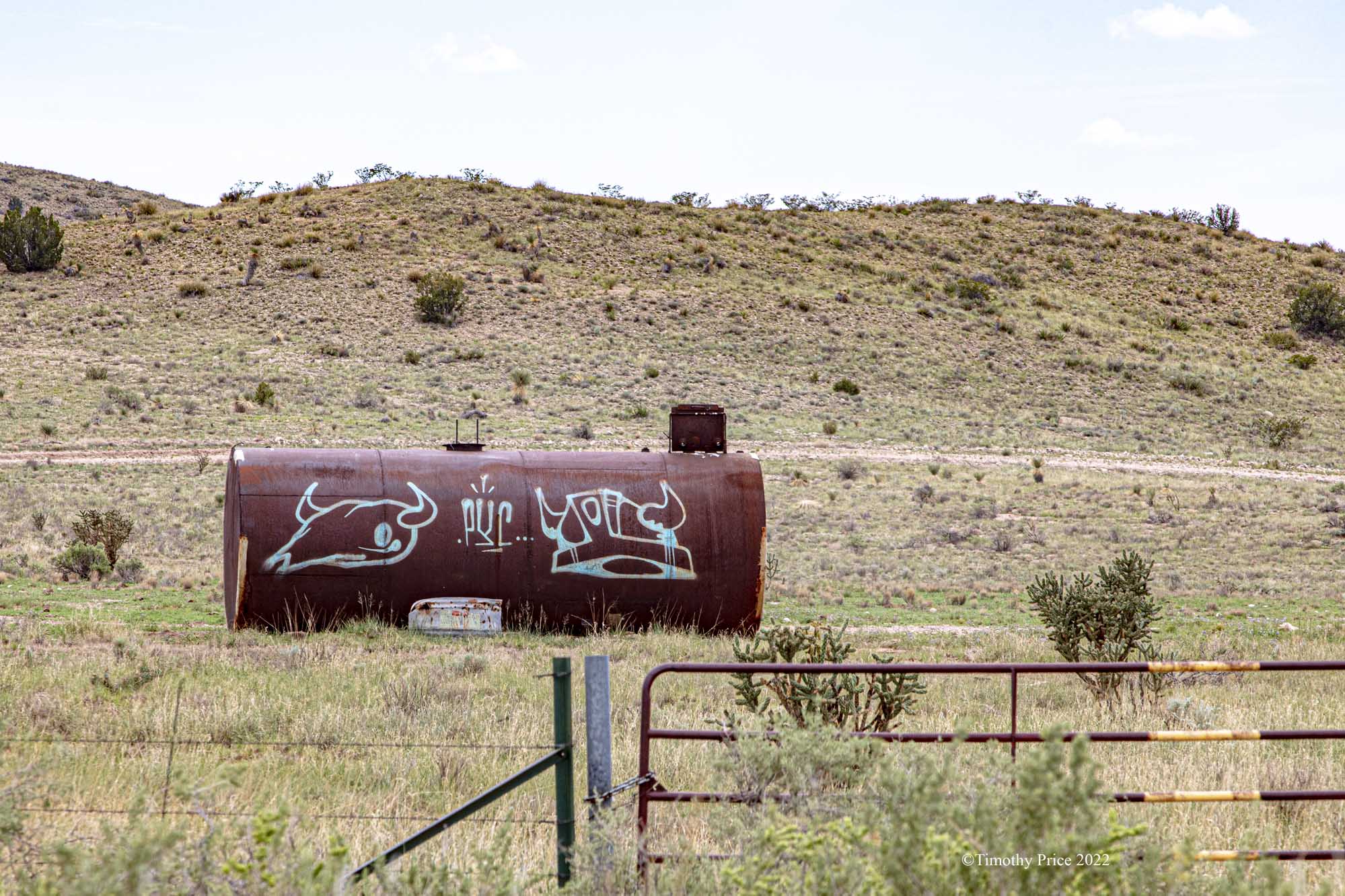
Another example of Farm and Ranch Graffiti in the middle of nowhere.


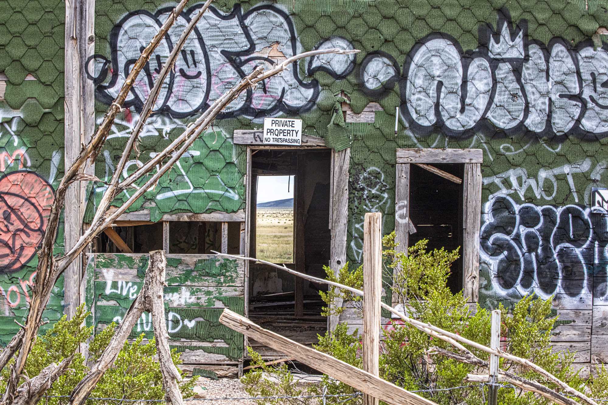
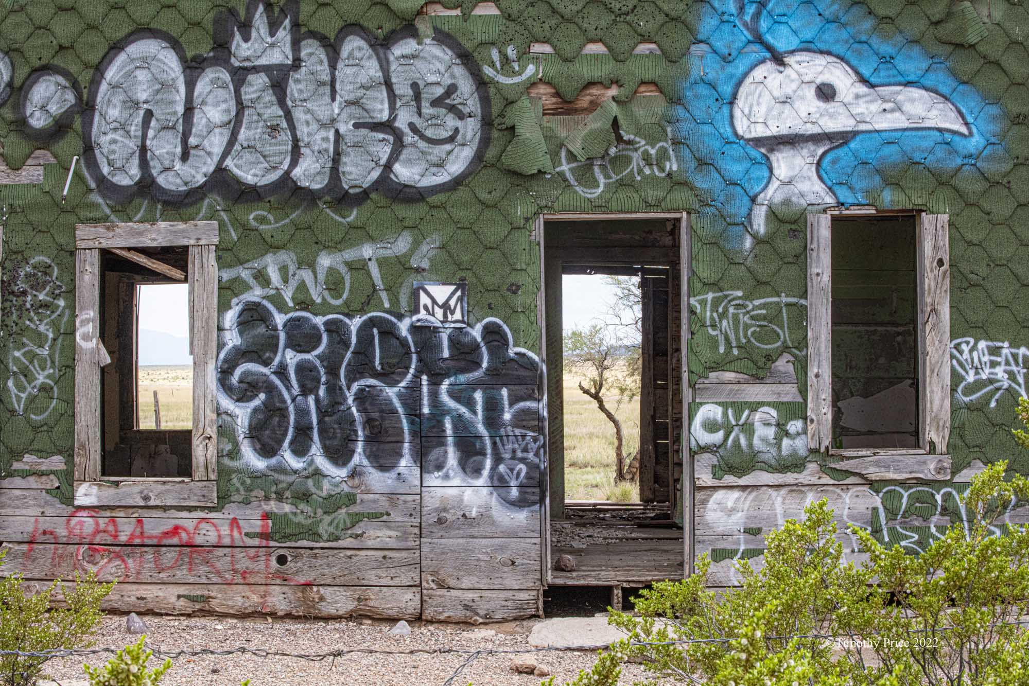


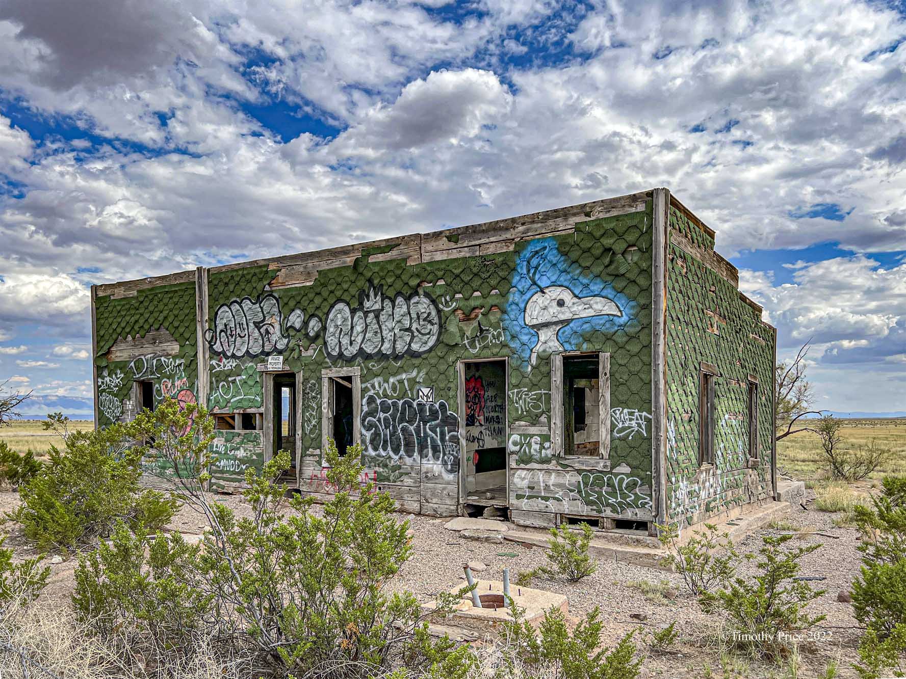

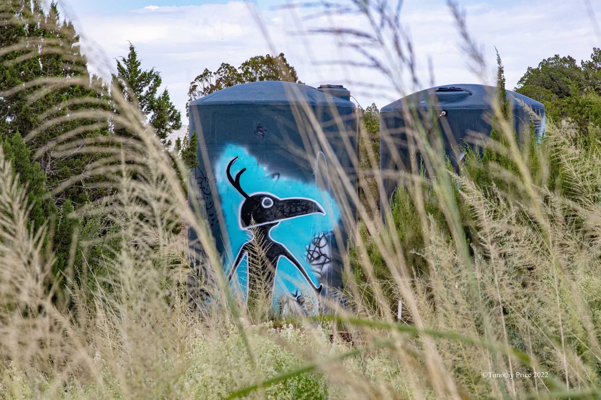
Another example of Farm and Ranch Graffiti in the middle of nowhere.
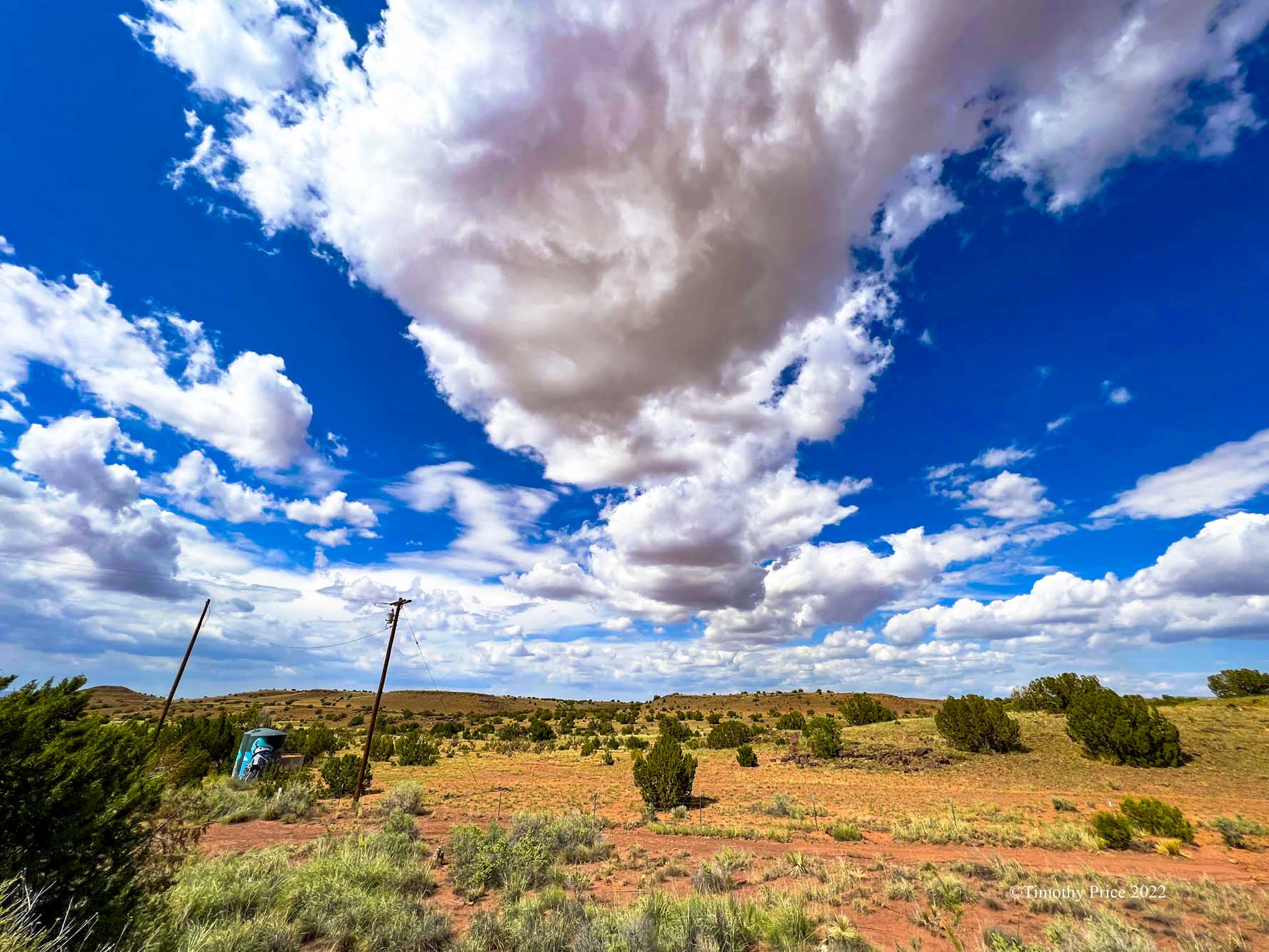
Graffiti on water tanks on NM Highway 380 between San Antonio and Carrizozo.




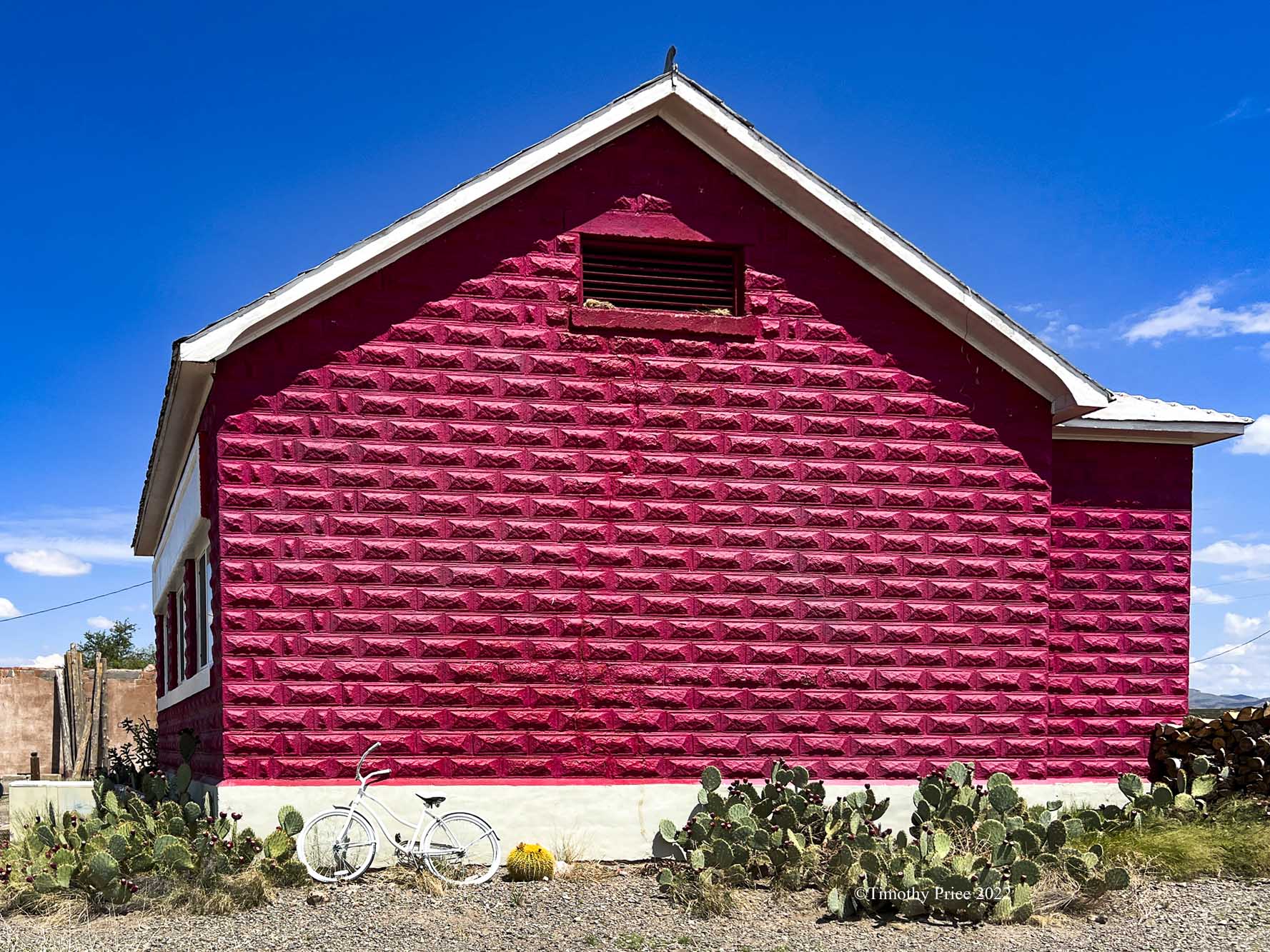
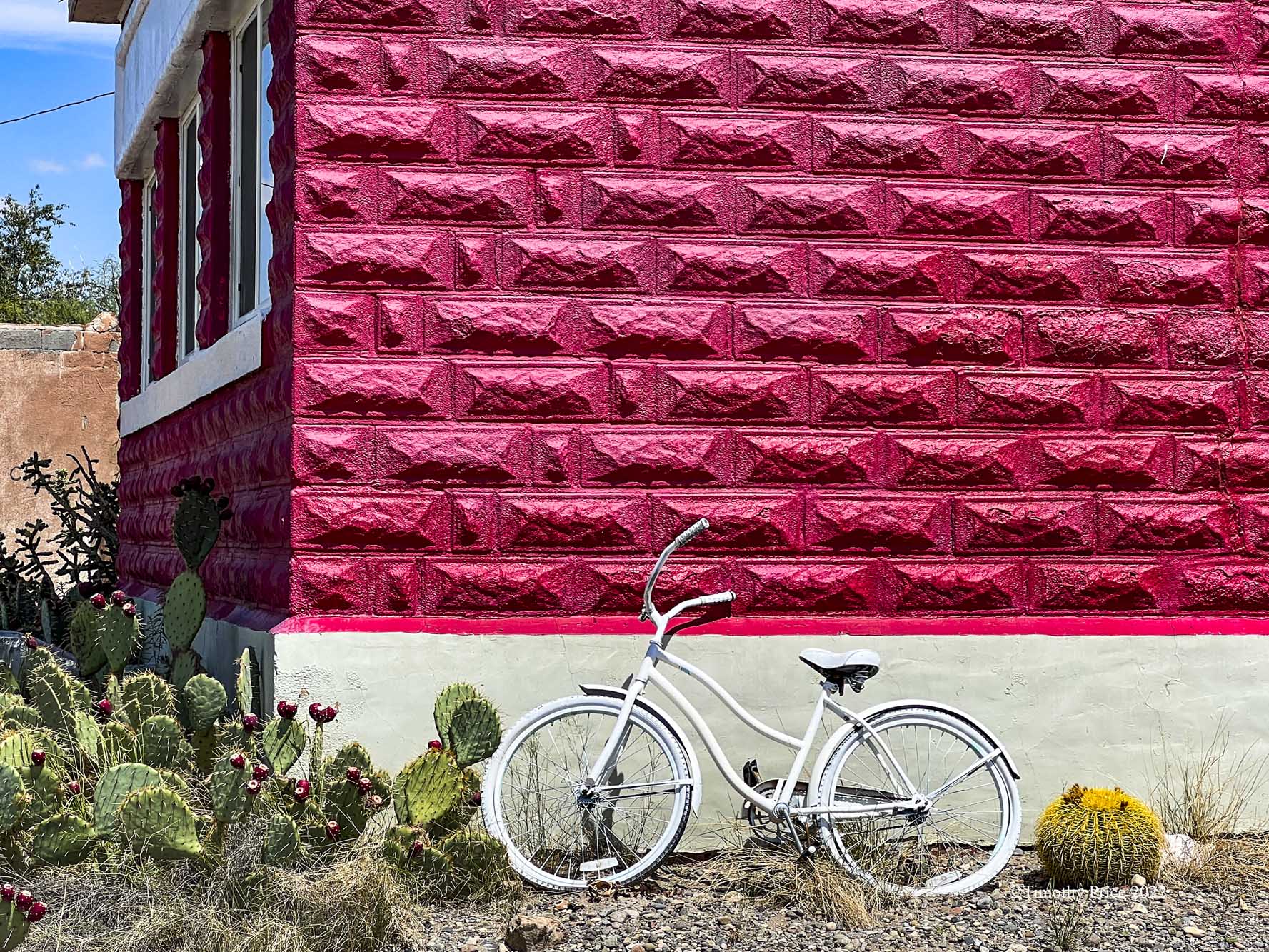
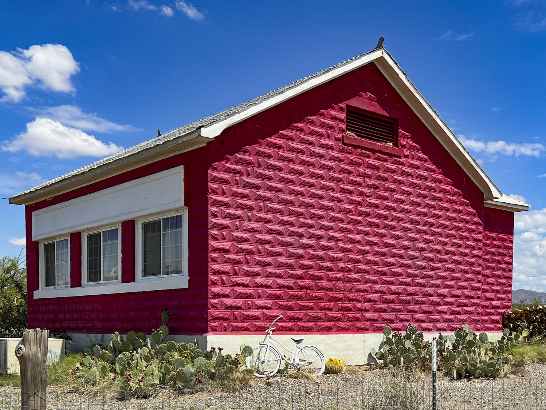
Three Rivers School 1904 on NM Highway 54 between Carrizozo and Tularosa. I don’t know anything about this building other than it sits behind the Three Rivers Trading Post, it’s old, it’s red, and where it is.

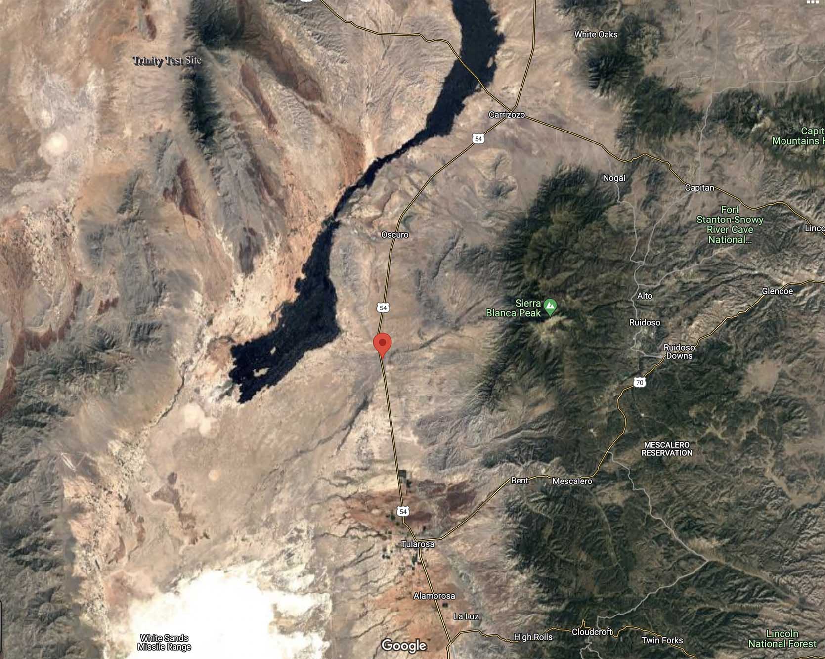
The above satellite map shows the location of Three Rivers School. The school and the trading post are 24 miles south of Carrizozo and 18 miles north of Tularosa. The border of the White Sands Missle Range is about a mile west of NM Highway 54 at Three Rivers. The south end of the Valley of Fires lava flow is the black area west of the Three Rivers. East of Three Rivers is Sierra Blanca Peak which is 11,981 ft (3,652 m) high. The Trinity Test Site where the first nuclear bomb was detonated in 1945 is north and west of Three Rivers.

It’s strange to find graffiti in the middle of nowhere.


I drove to Alamogordo this morning to deliver a proposal. It was a three-hour drive straight through with one short stop along the way. On the way to Alamogordo, I made mental notes at places I needed to stop and take photos on the way back. Needless, to say It took me six hours to drive back after all the stops. Here are a few photos of the landscapes I got on the drive back.


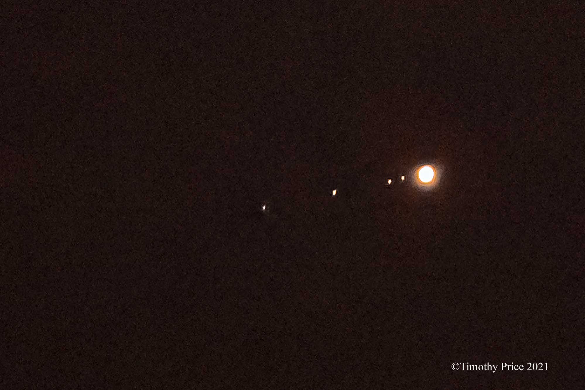
Jupiter with four moons.
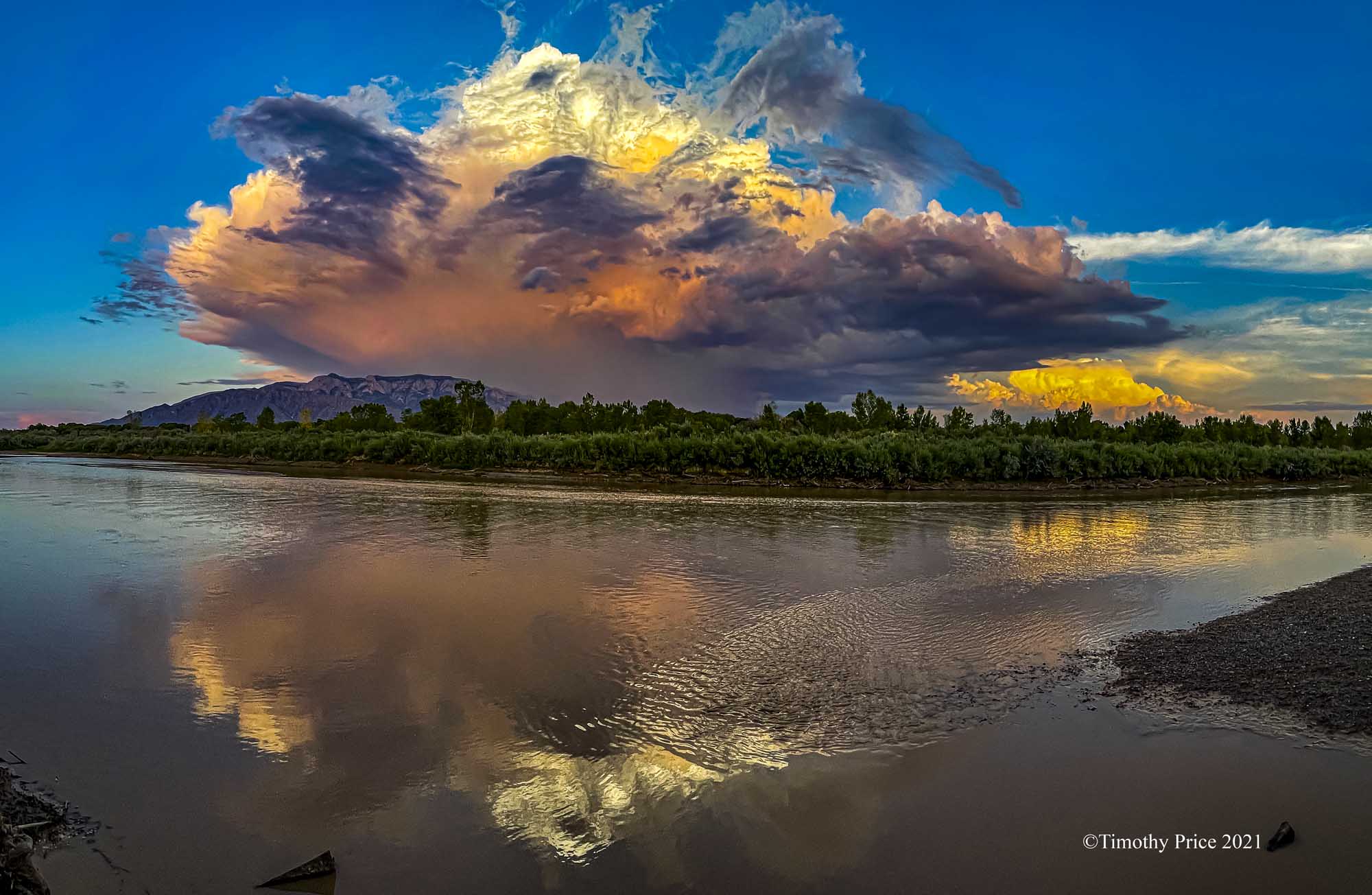
Thunderheads explode
Under clear blue skies
Taunting sunset’s
Cast of colors
Streaming light
Reds, yellows
Blur to orange
Turquoise dances
In the wings
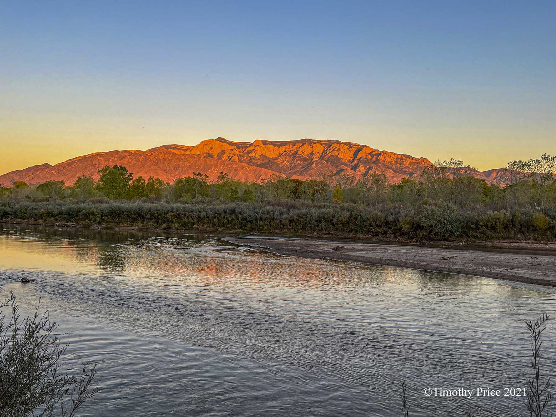
Reflections rippled
Flowing waters
Stilled
Violent thunder
Silenced
Tranquil scene
Exploding beauty
Falling darkness
Soon to cover
All that once had light

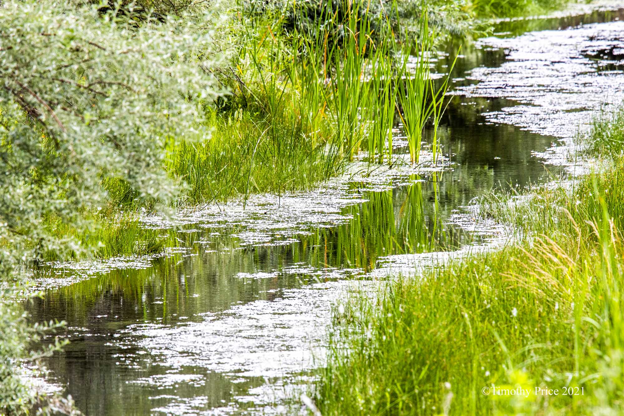
Waterway through the cotton
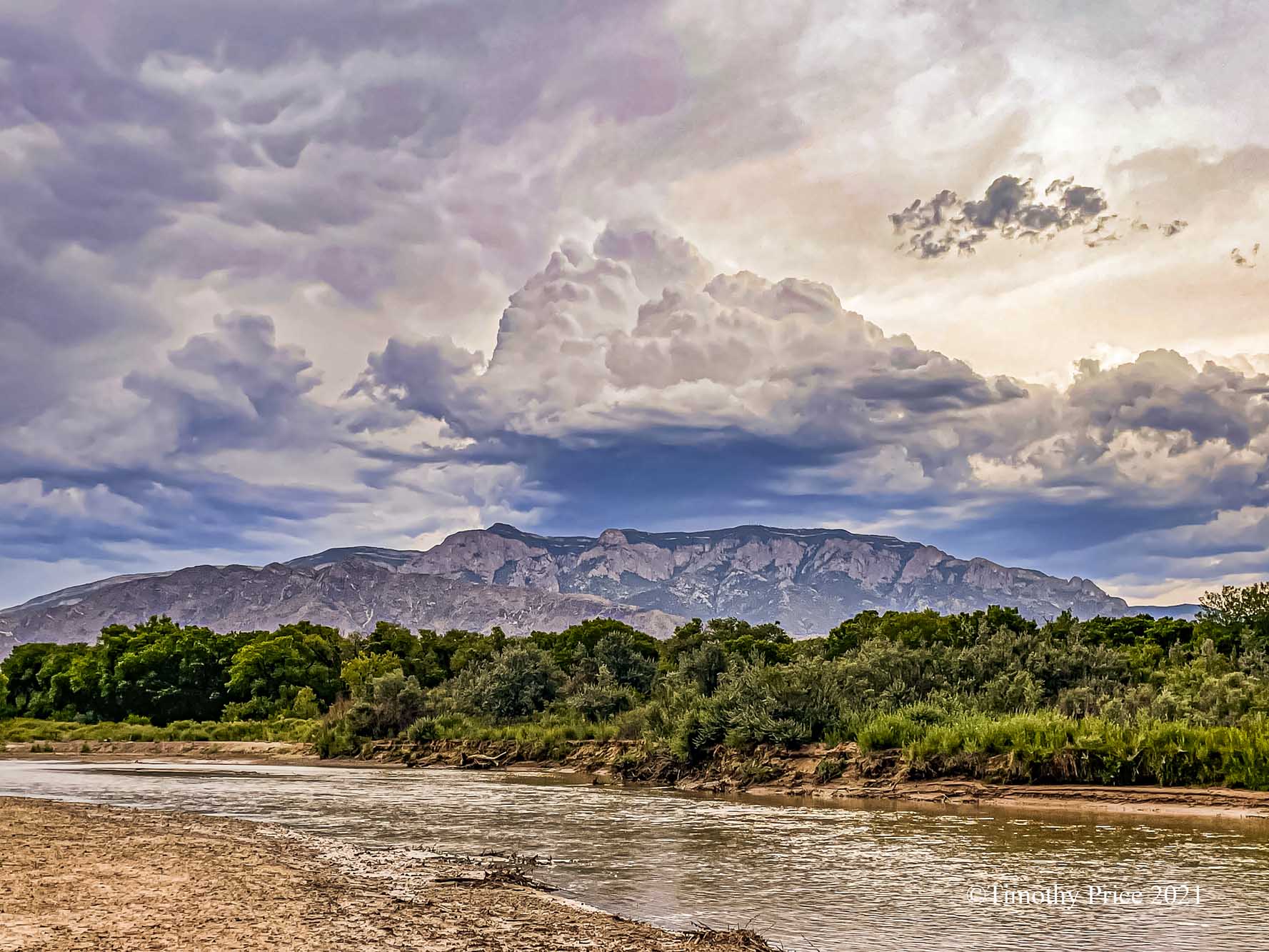
Storm clouds building over the Sandias
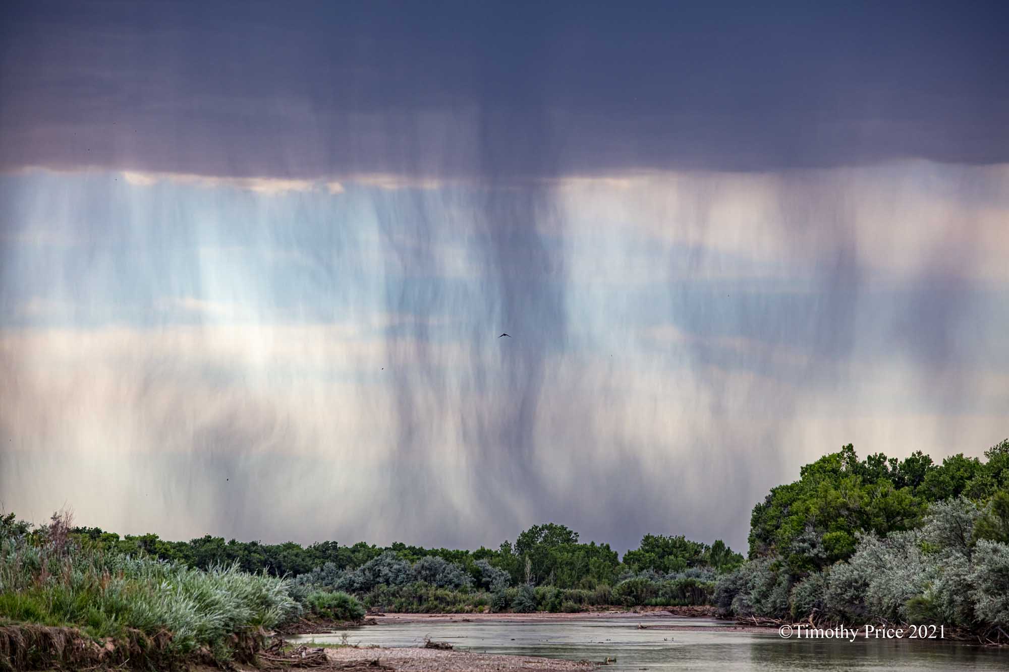
A wall of rain

Z. macroura convention

The first day lily bloomed this afternoon.

Graham Thomas

Tatones on Resa’s Tree. They will open soon sending cotton blowing in the wind.

Cotton blowing in the wind from tatones on other cottonwoods in Corrales.

May Peace be with you.


Wild, pre-sunset clouds looking east.

The color remained close to the horizon as the sun was tucked away for the night.


