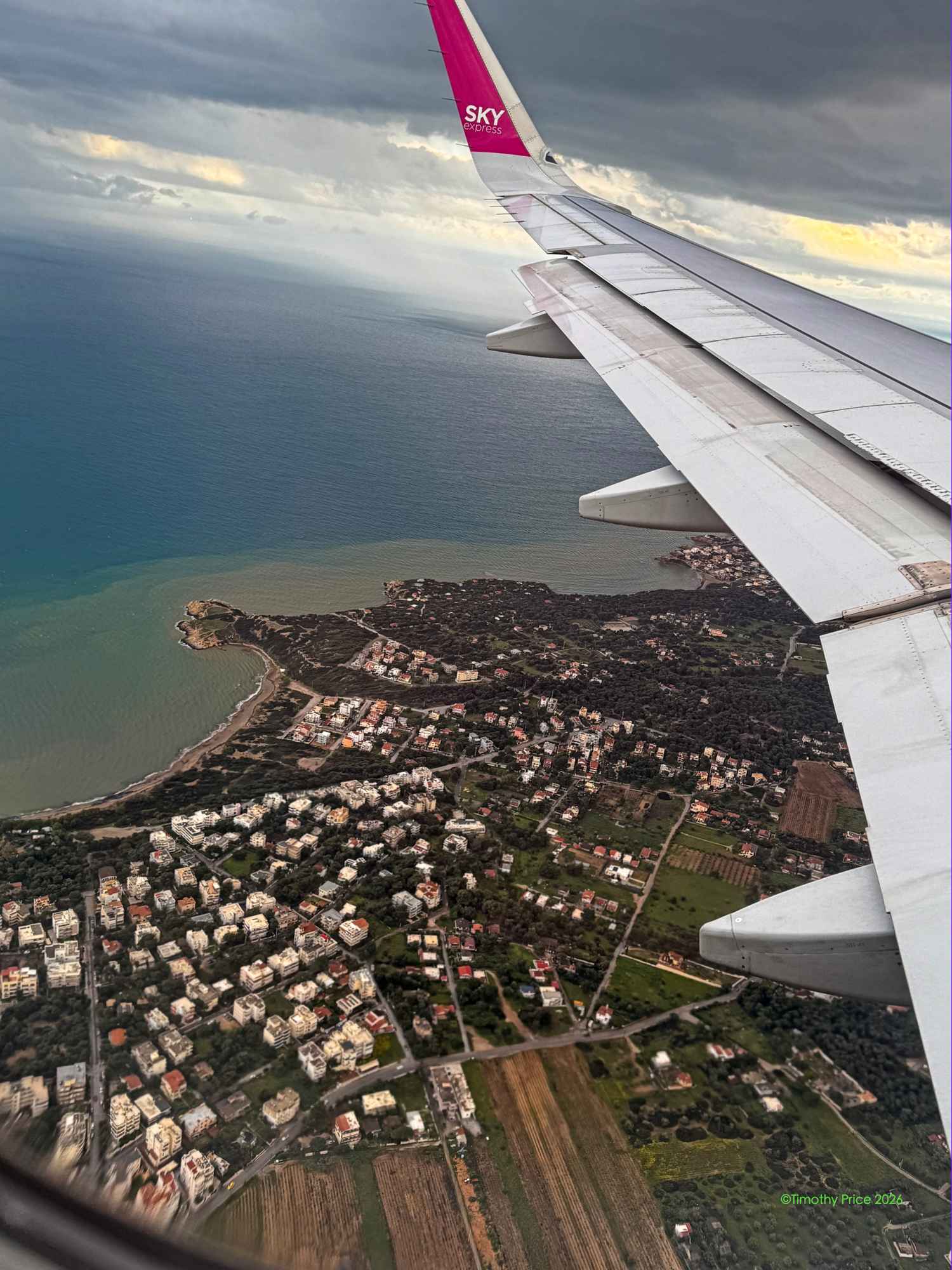
I flew to Athens today to visit Marina and Socratis. Good Friday was a good day to fly to Athens because everything, but the airport, was closed in Germany.
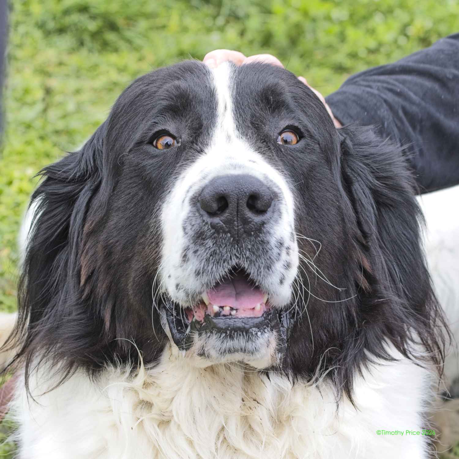
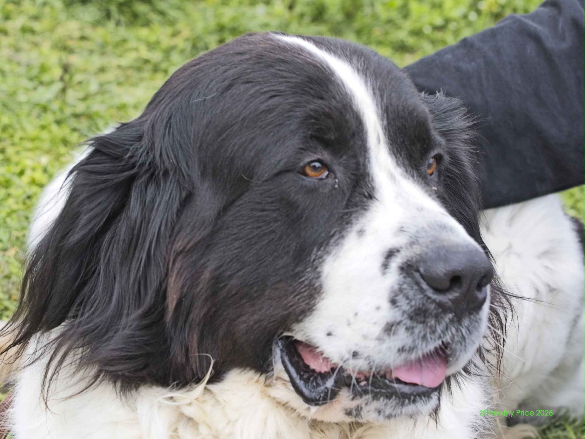
Besides finally meeting Marina and Socratis in person, I made a couple of new canine friends as well.
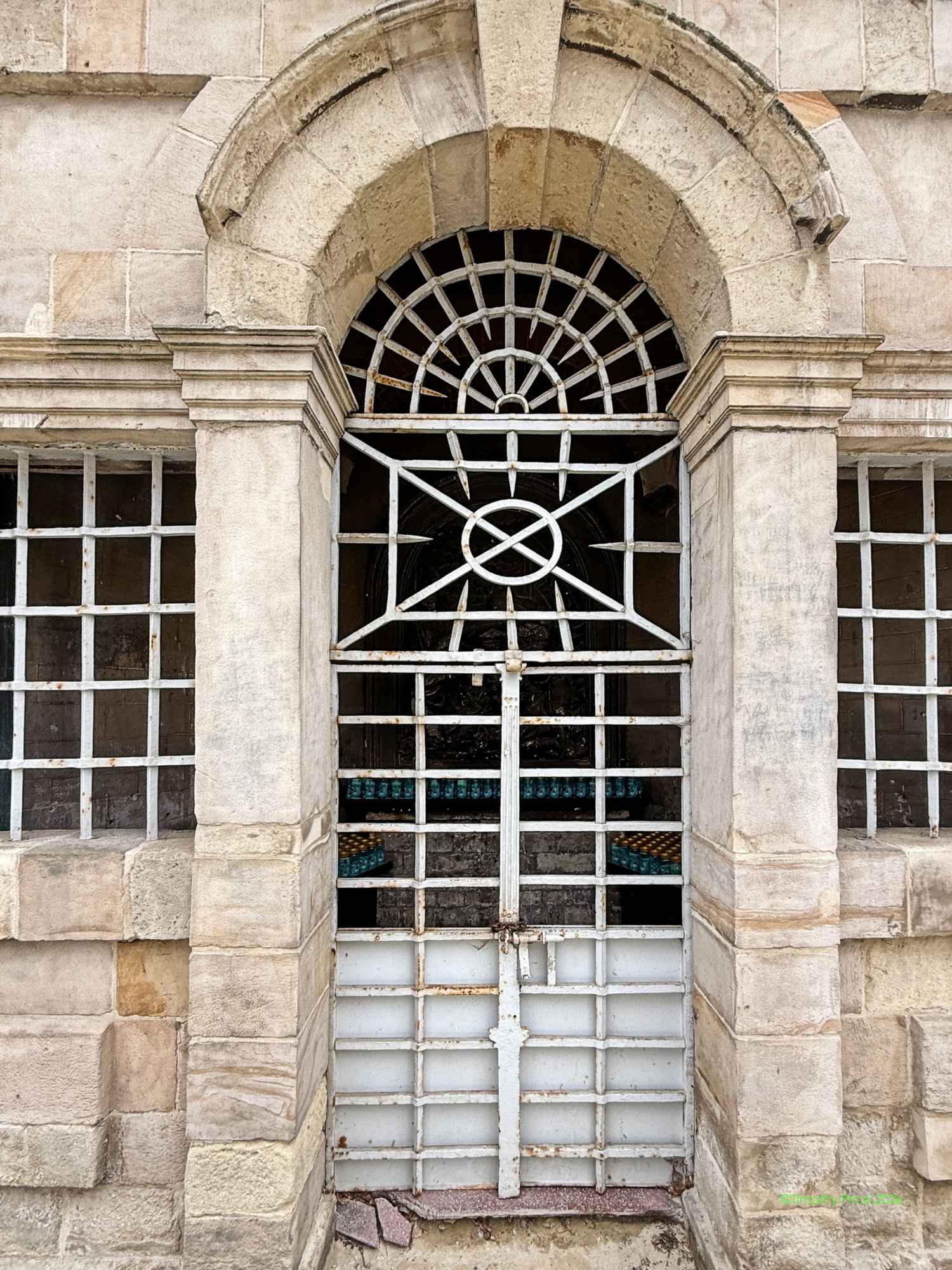
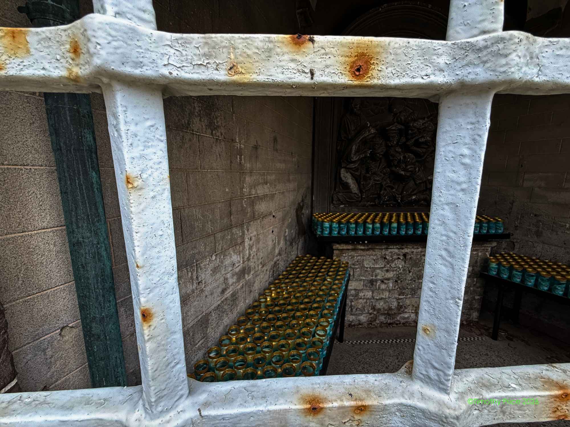
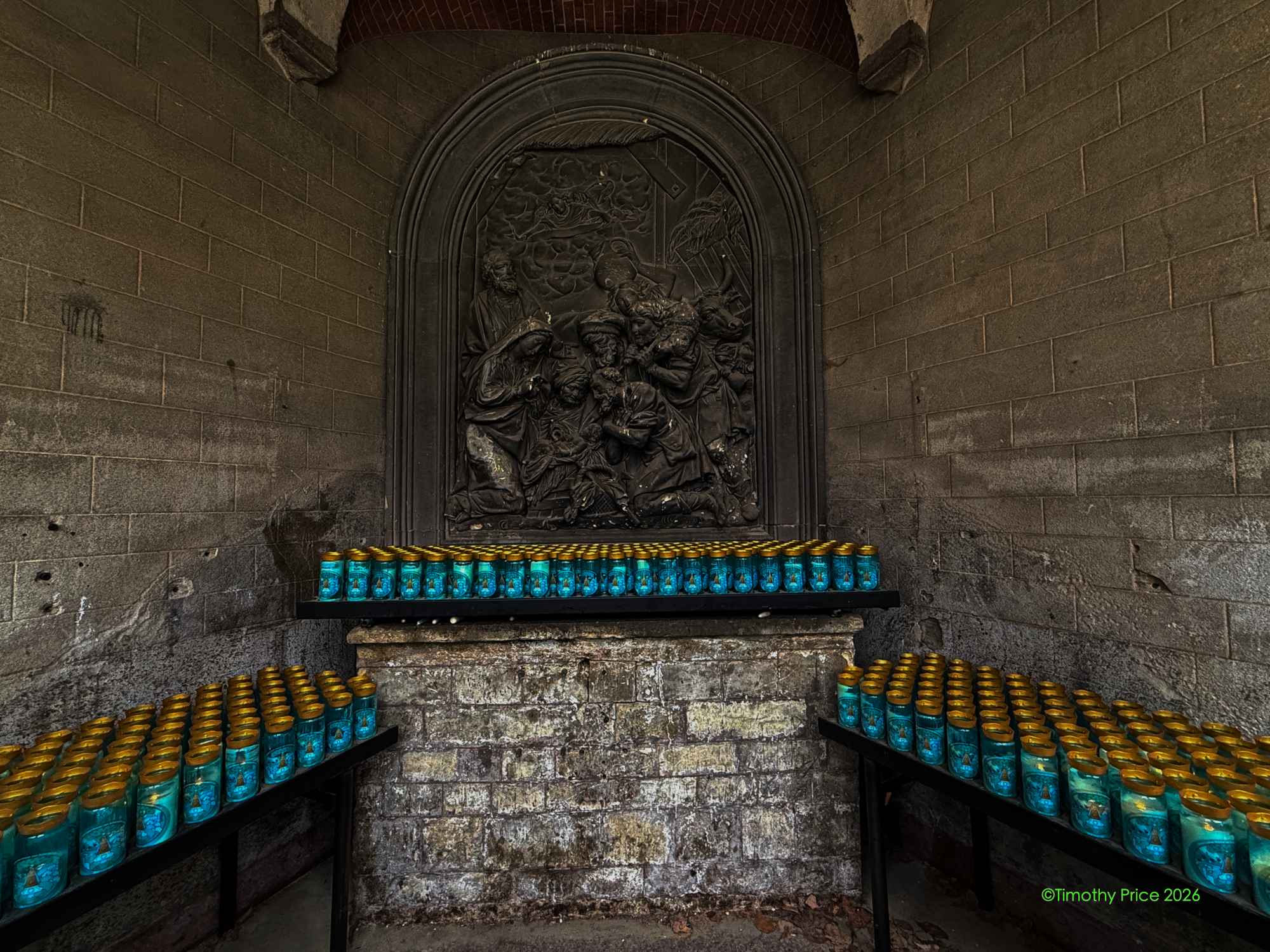
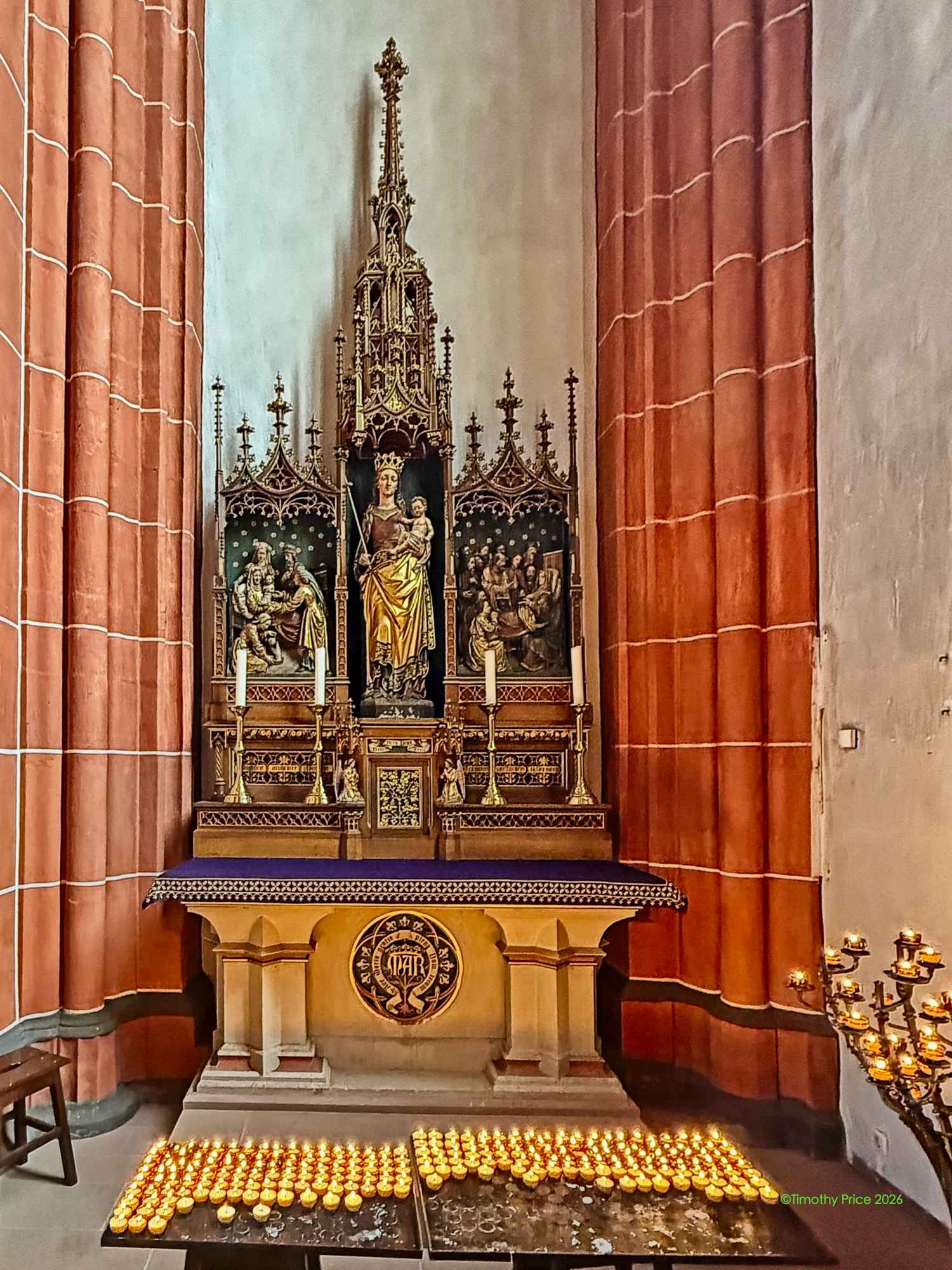
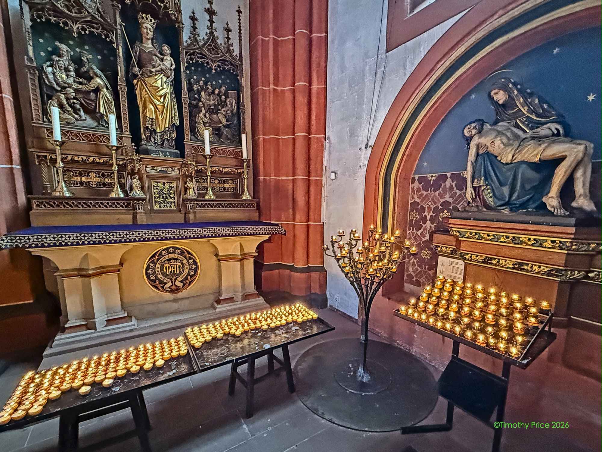
There were several of these locked, grated grottoes around the outside of the church with lighted votive candles inside them.
A man driving a small utility truck filled with lighted votive candles in the back stopped and said hi to us and explained to Hermin in Flemish that his job was to keep the candles lit. He had done it for ten years and loved the job.
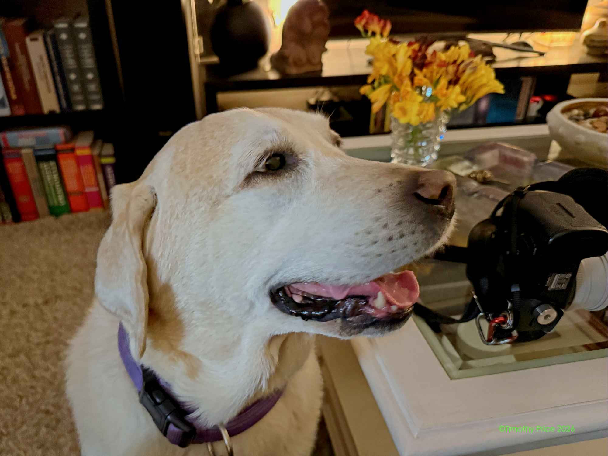
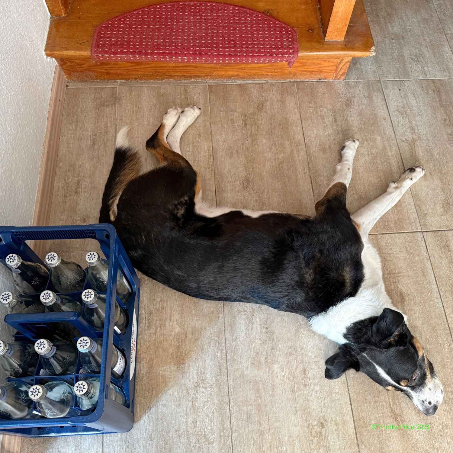
Nike was watching for us to return from his bed in the garage.
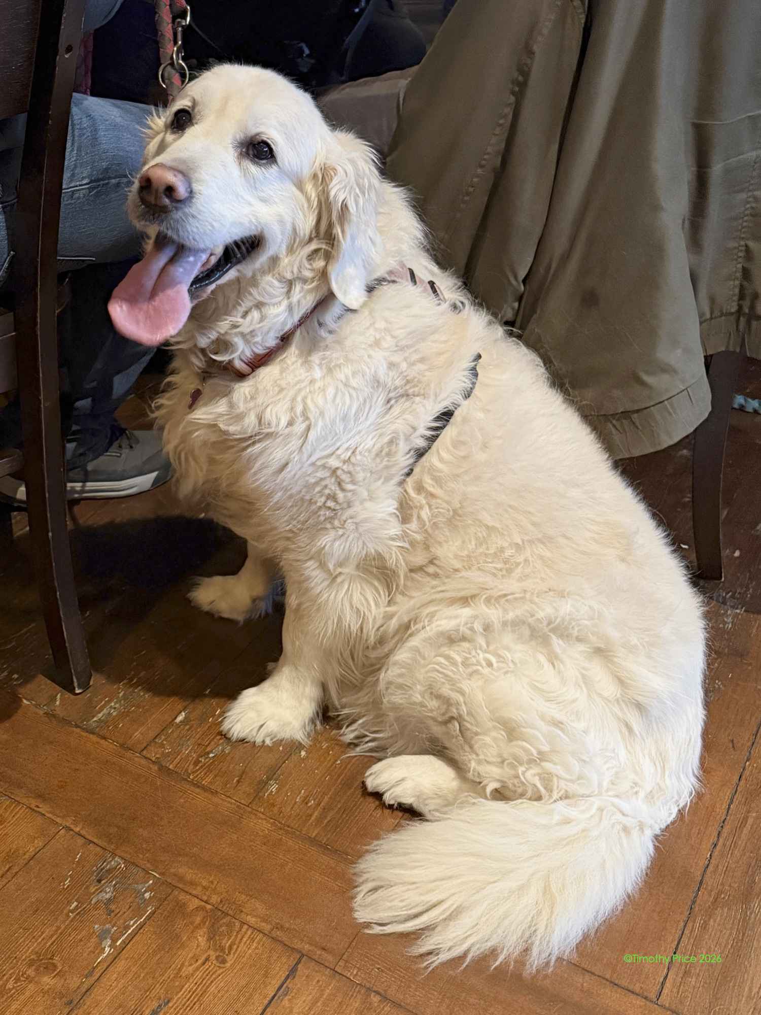
I got back in the late after noon, and returned the rental car. Then we went straight from Enterprise car rental to Trivia at the Irish Pub. There were a couple of Golden Retrievers that came to Trivia Night. The white one really like me, and I had to pet it most of the time. It would put it’s head in my lap when I stopped petting it.
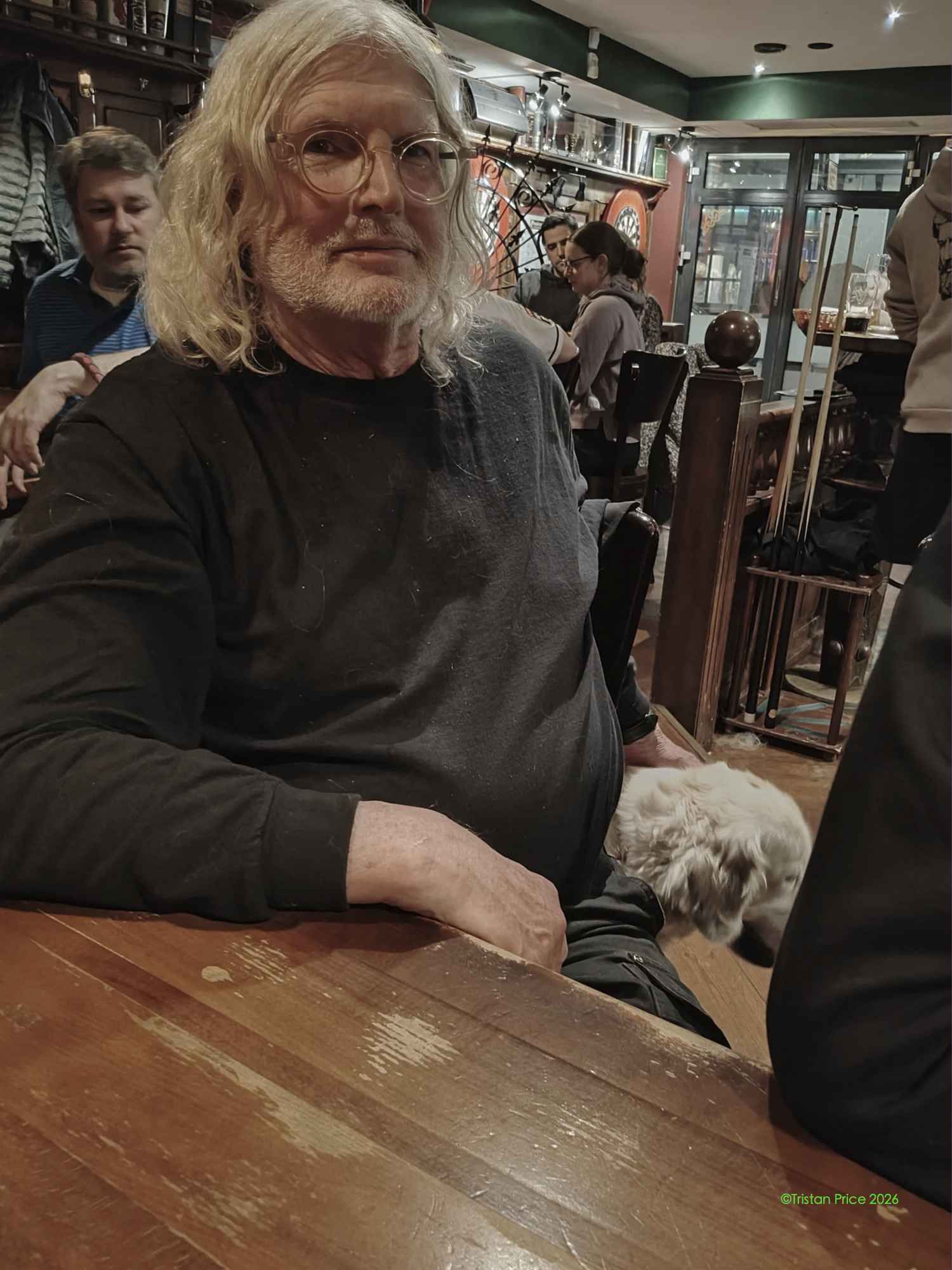
Tristan snuck a picture of me petting the dog. We are not supposed to use phones while a trivia round is in play.
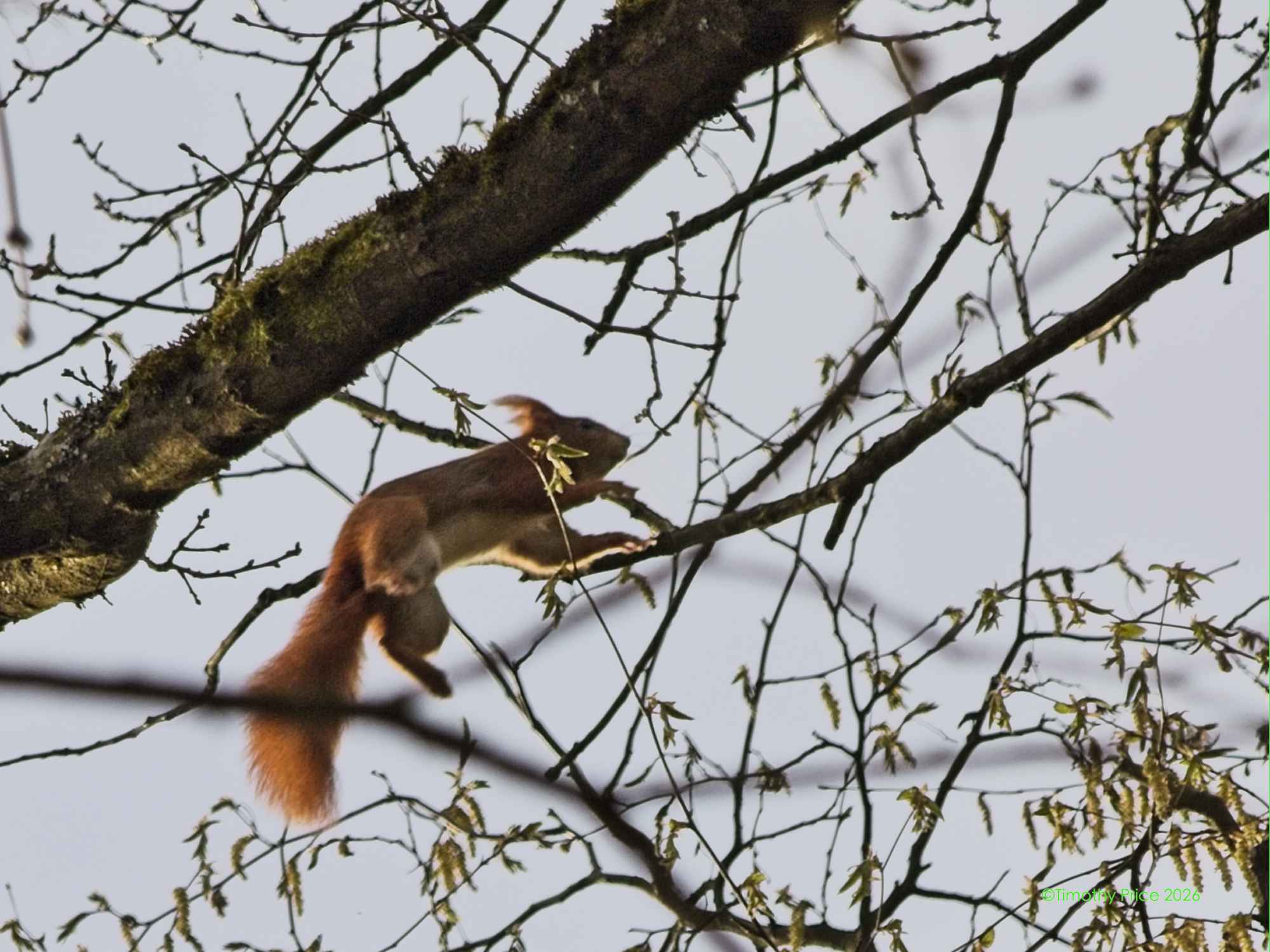
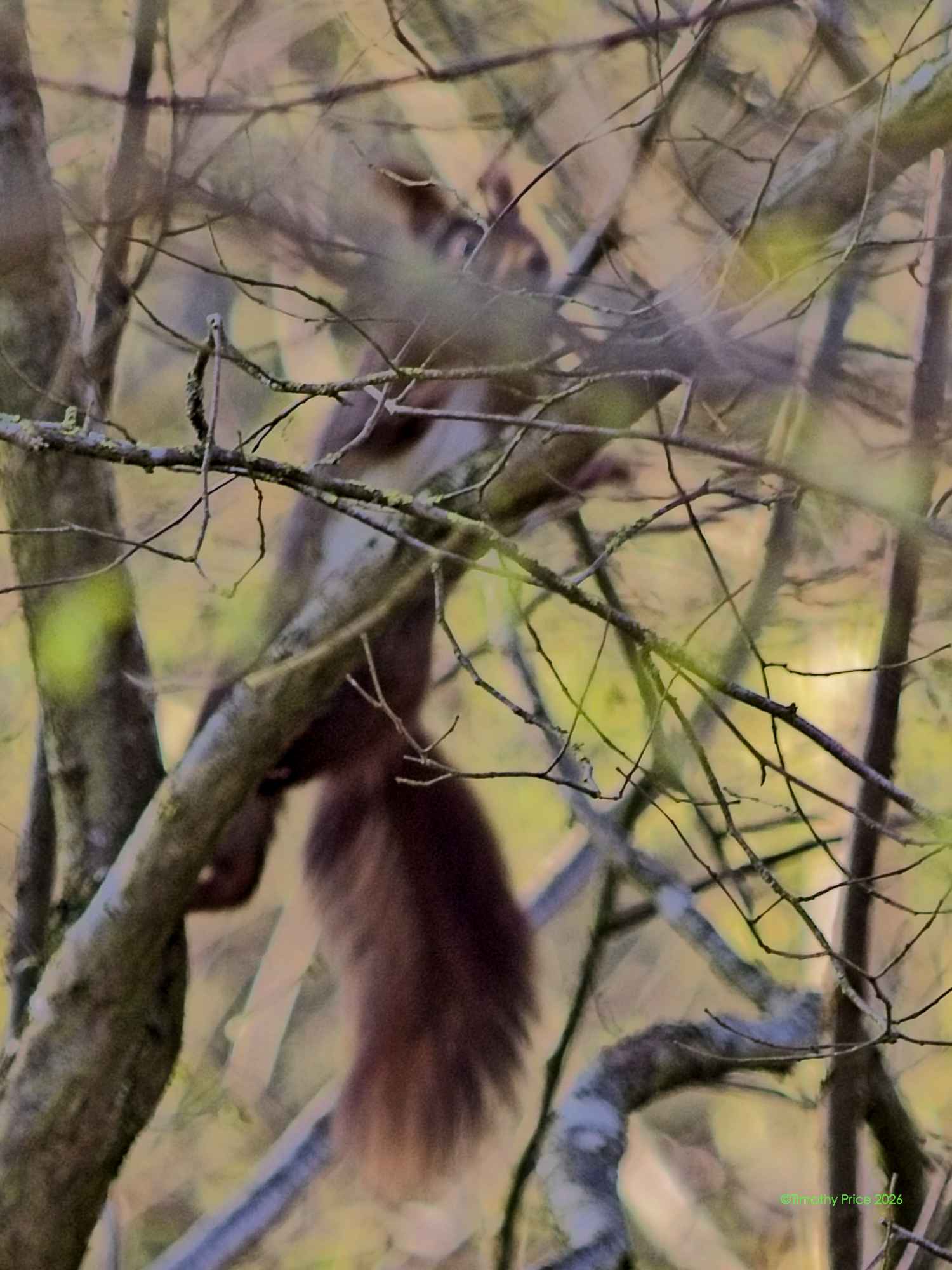
Squirrel Nutkin was jumping around in the trees on my morning walk
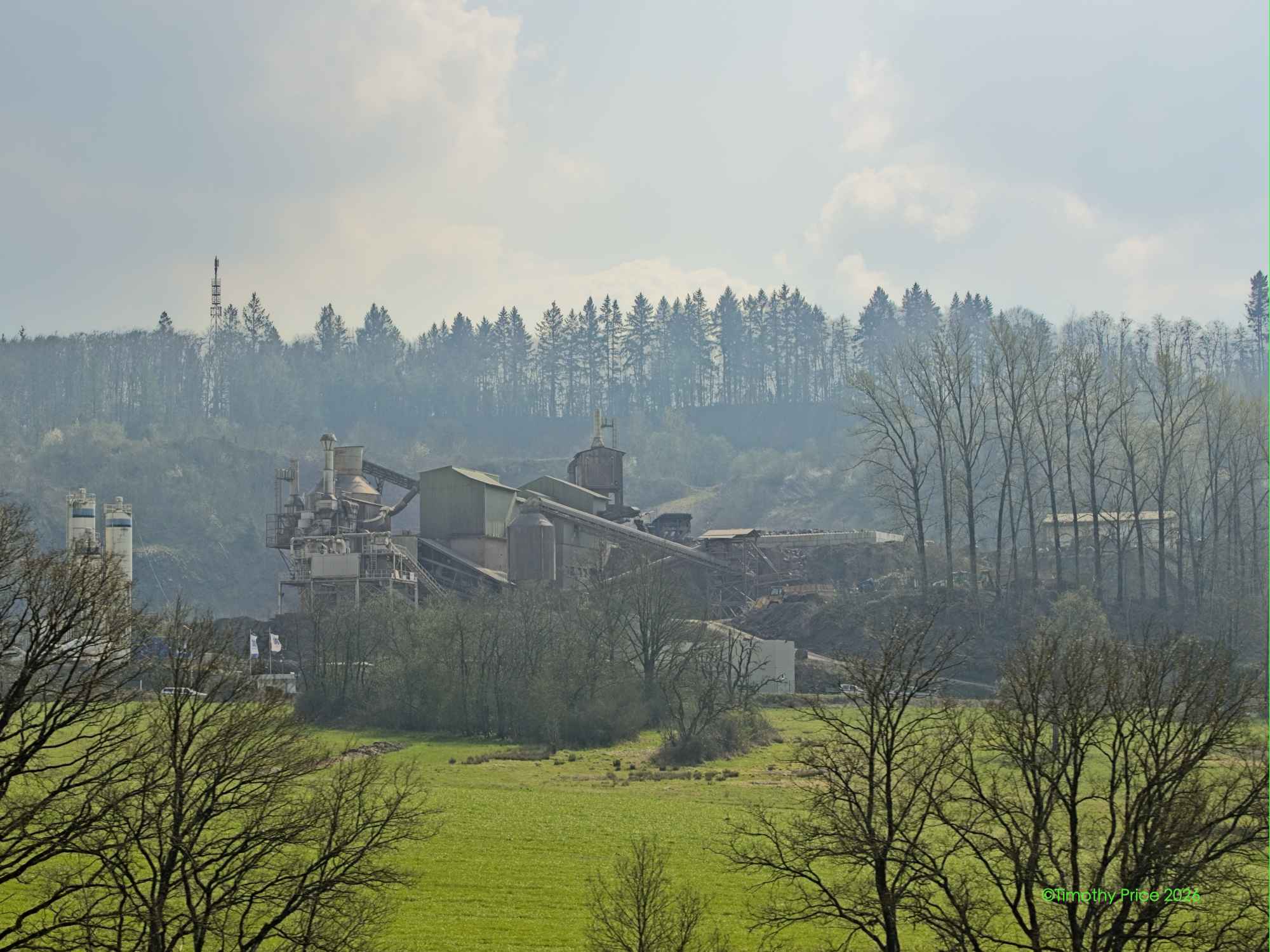
We went to Karlsruhe today, where Tristan and Craig had some business to take care of. It’s an hour and a half from Bruchmühlbach-Miesau, but we had a long roundabout way back after the police closed the AutoBahn.
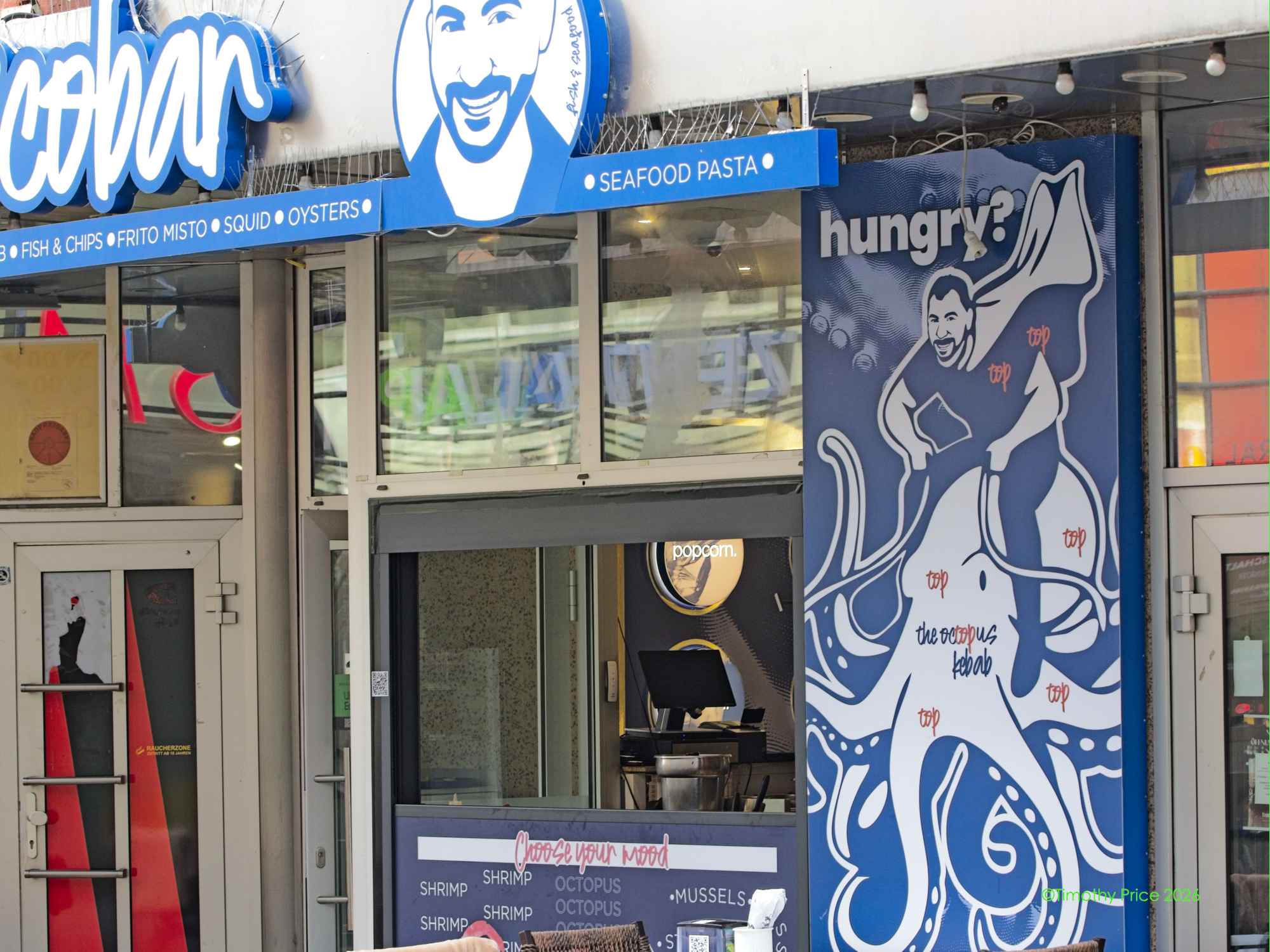
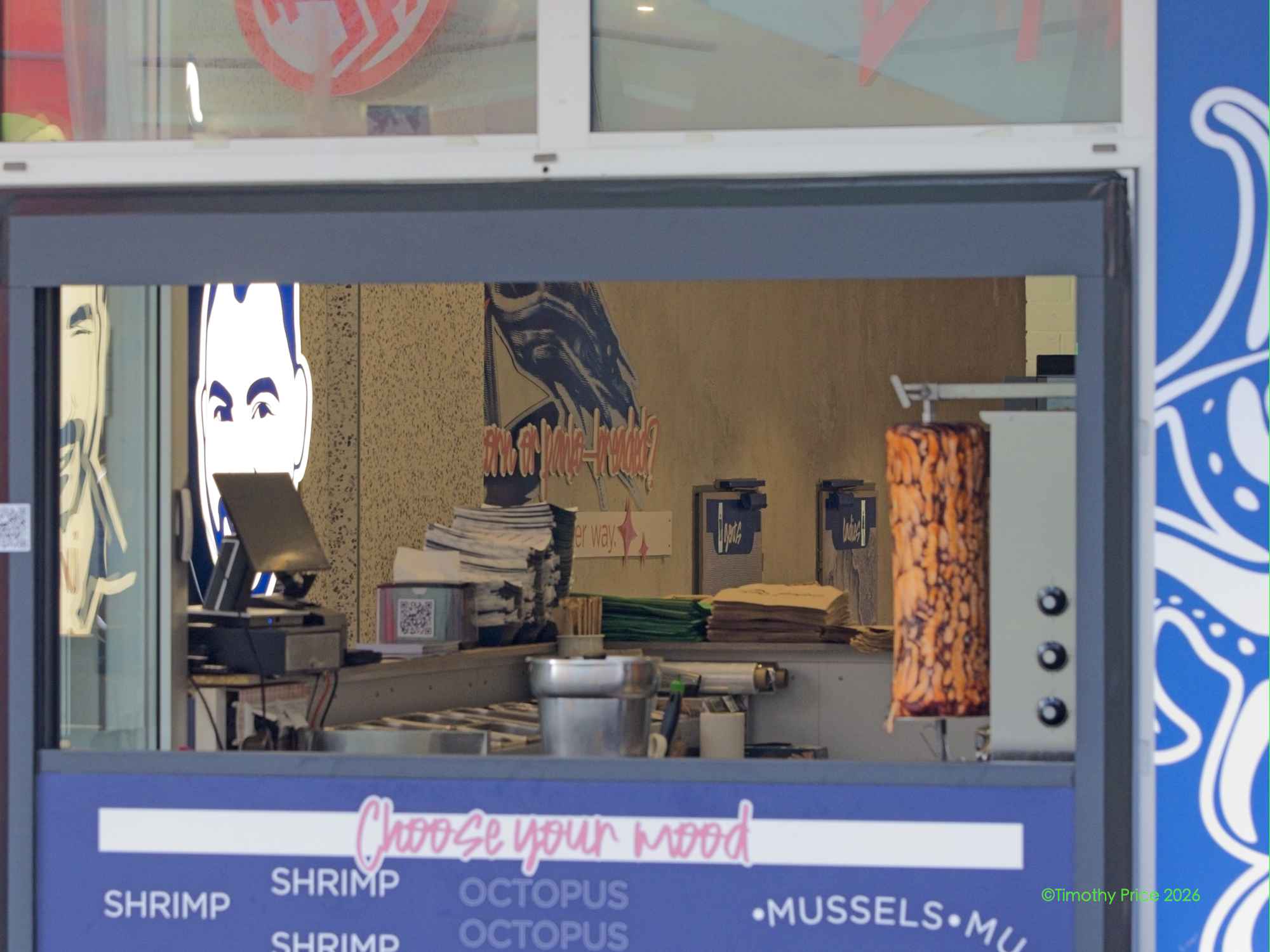
This place is said to be a TikTok sensation for having Octopussy Gyros
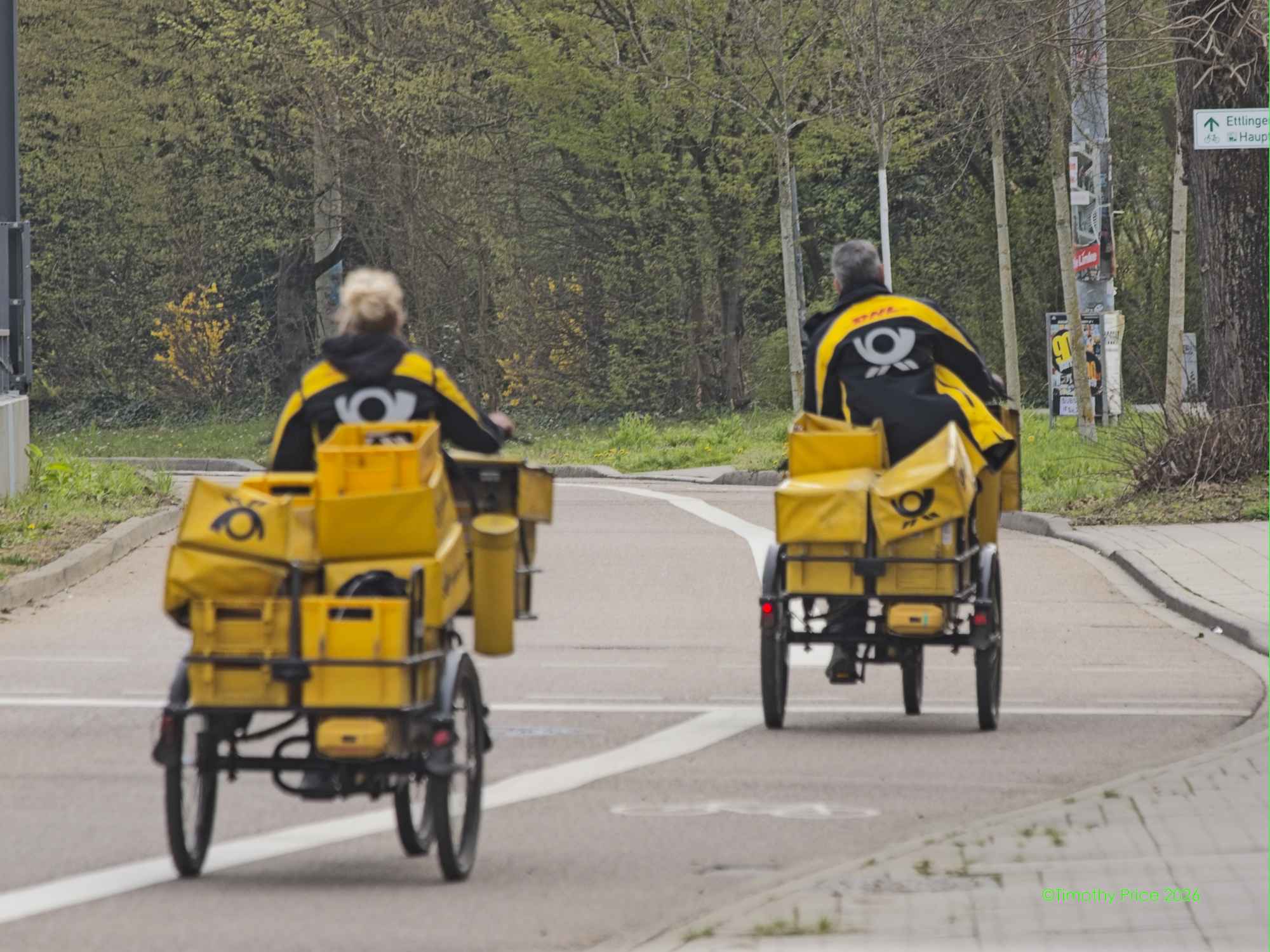
Deutsche Postal delivery riders done delivering
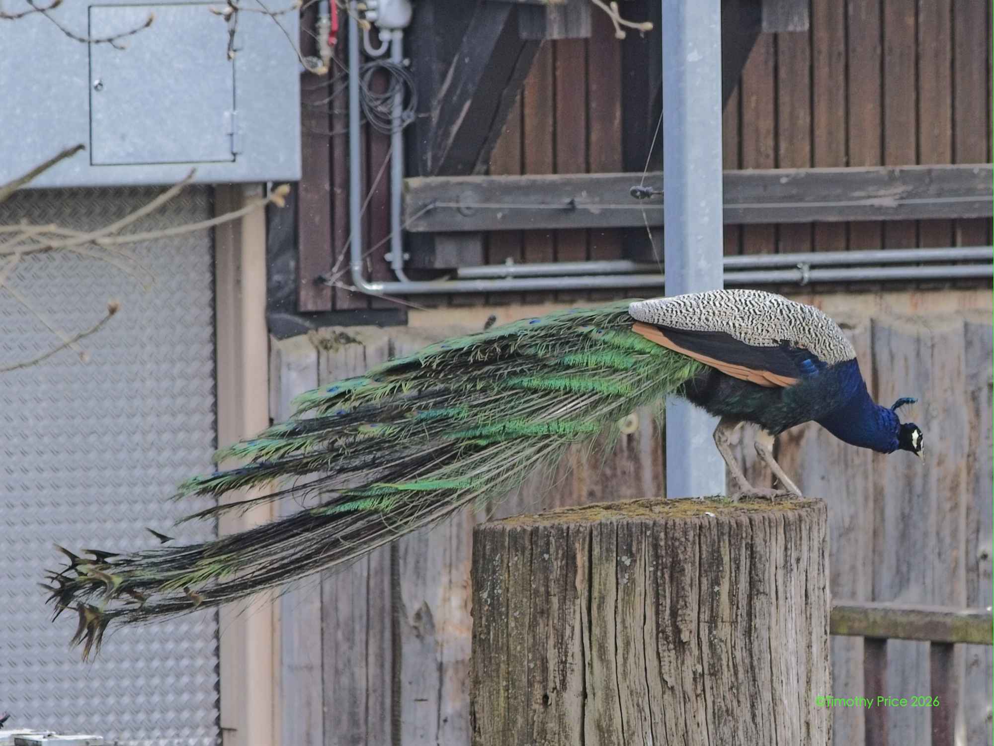
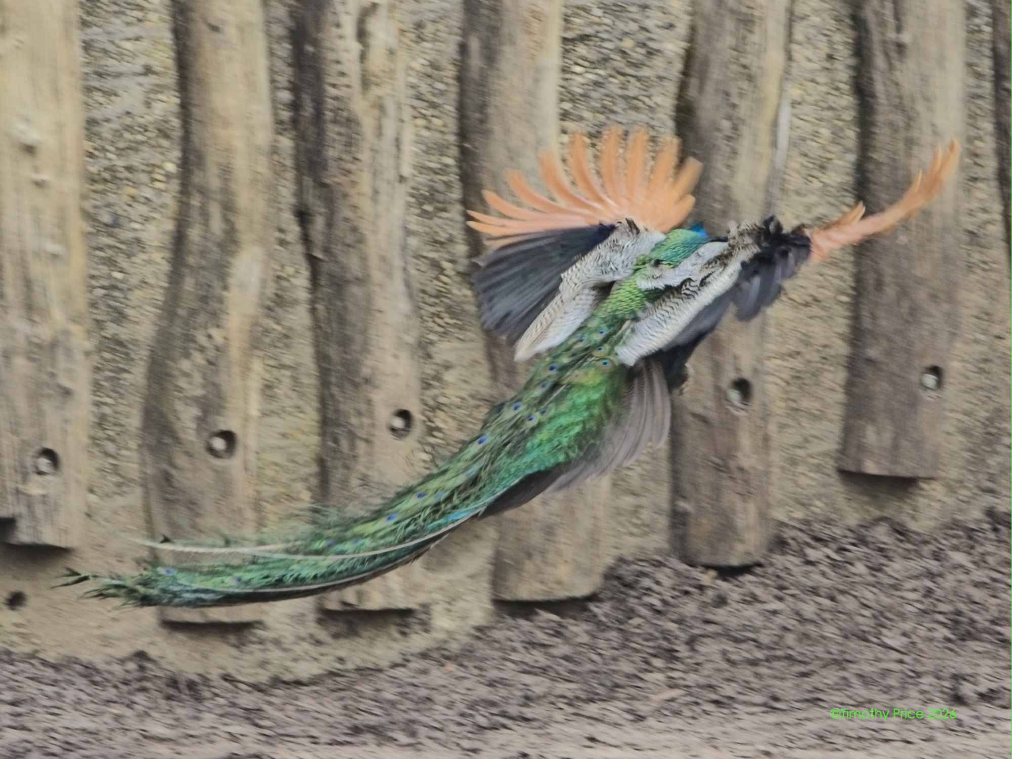
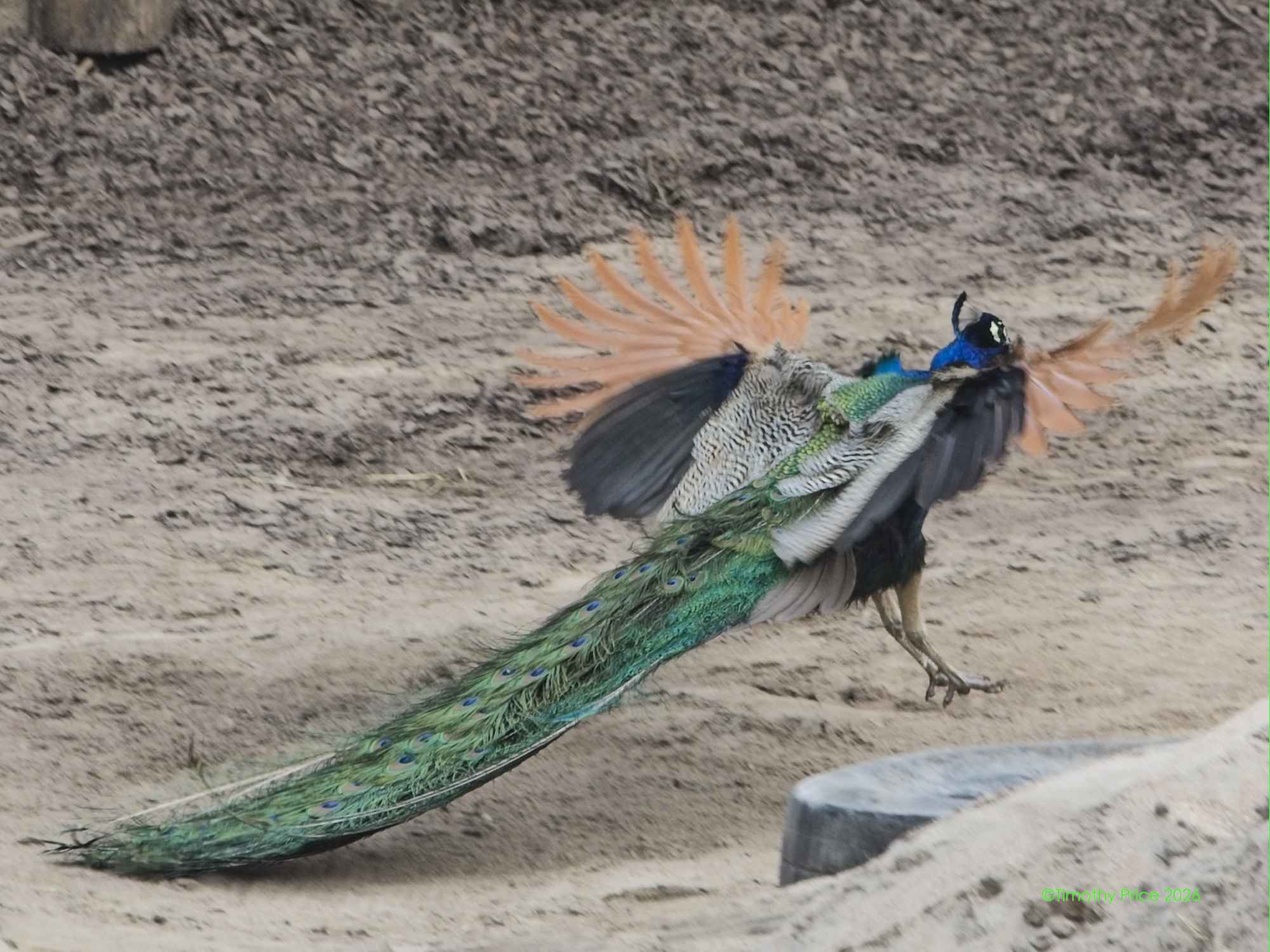
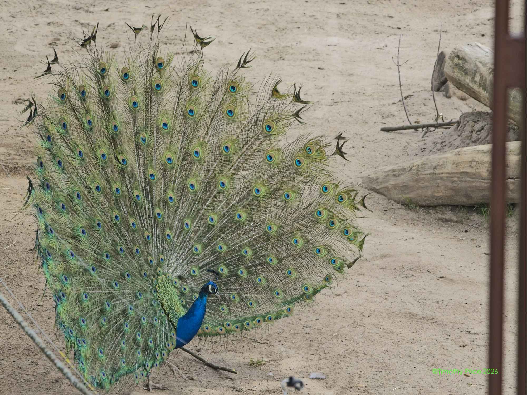
Peacock flew into the elephant enclosure at the zoo
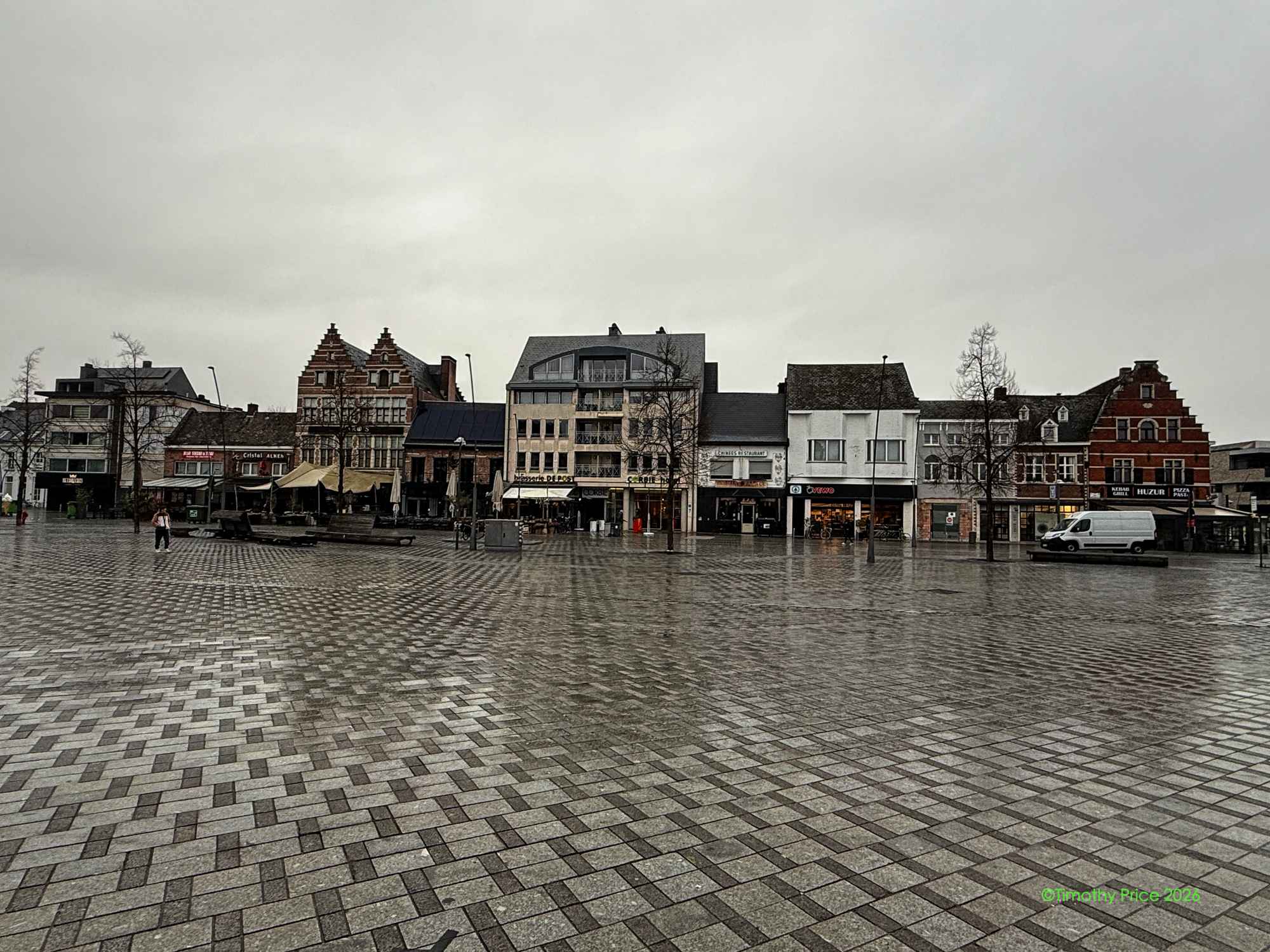
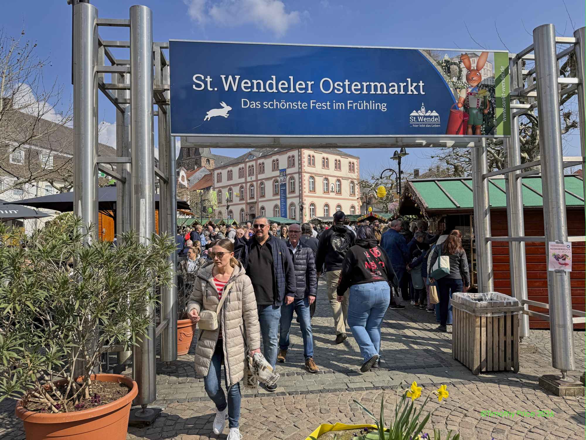
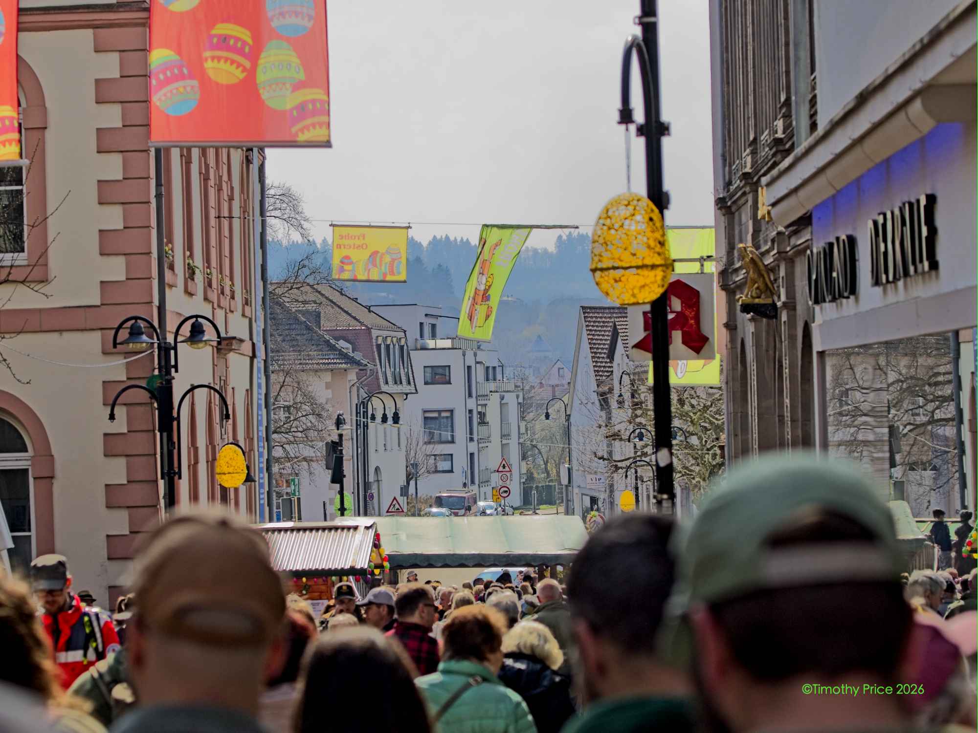
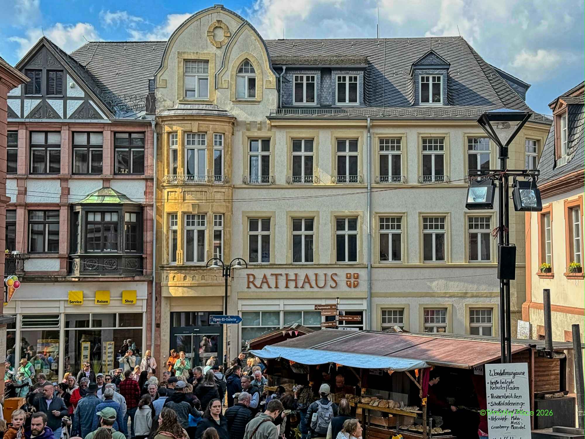
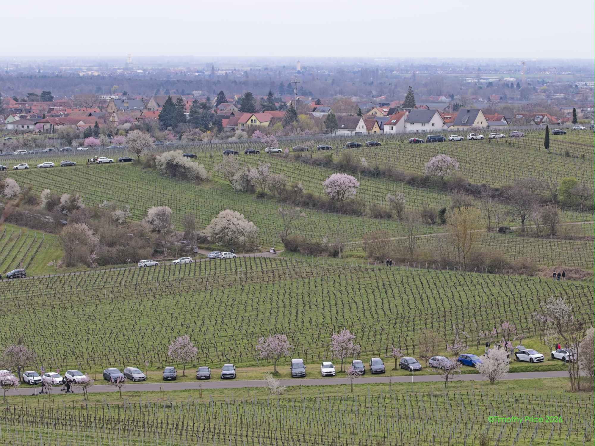
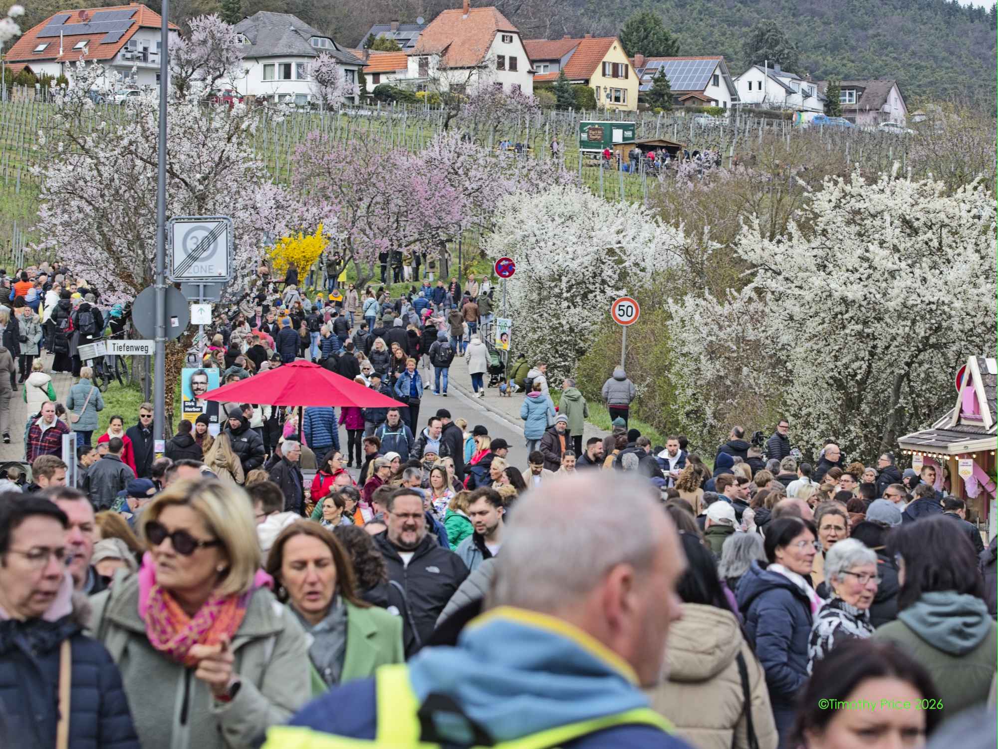
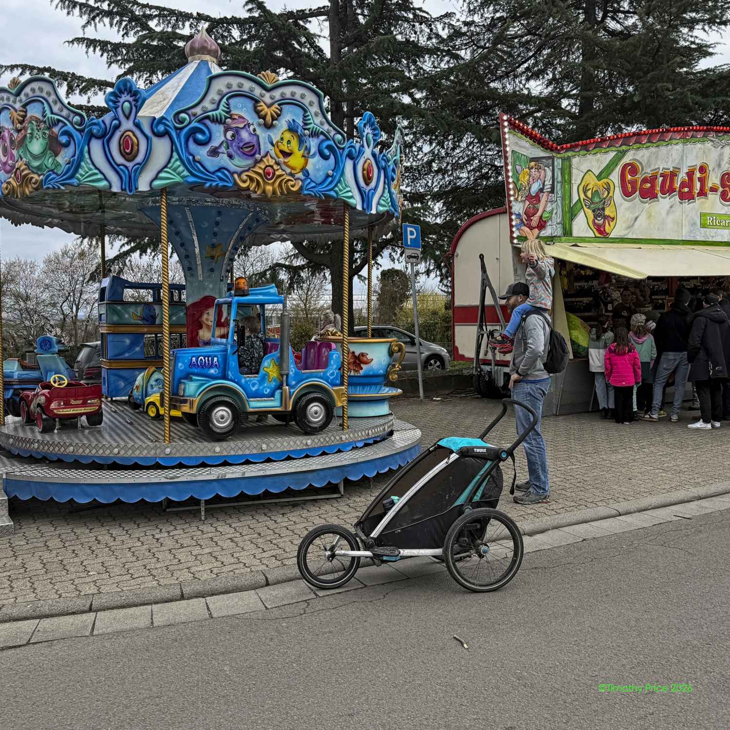
We went to Sankt Wendel for the Bad Easter Bunny Easter Fesival this morning. The streets were full of people acting like bumper cars in a demolition derby. I’ve been in much denser crowds in Mardrid, Paris and Rome, and people did not bump into each other like they were at the Böser Osterhase Osterfest today. You would think Früling would bring out the best in people.
Atlas: “Oh nein! Nicht ein böser Osterhase!”
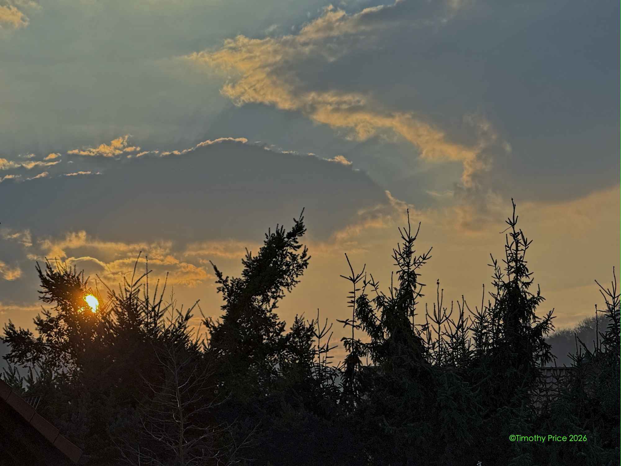
Sunrise
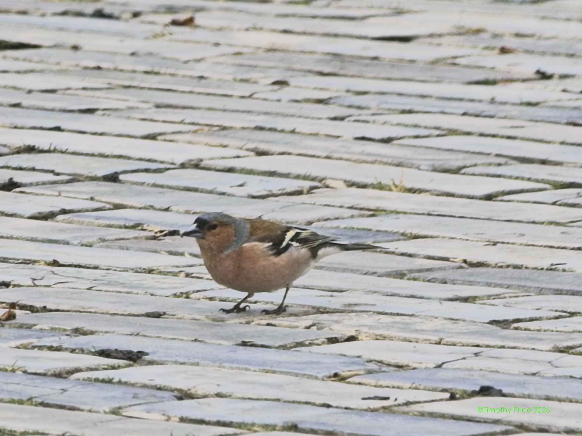
Common Chiffchaff
I saw Squirrel Nutkin on our walk this morning.
Eurasian Blue Tit
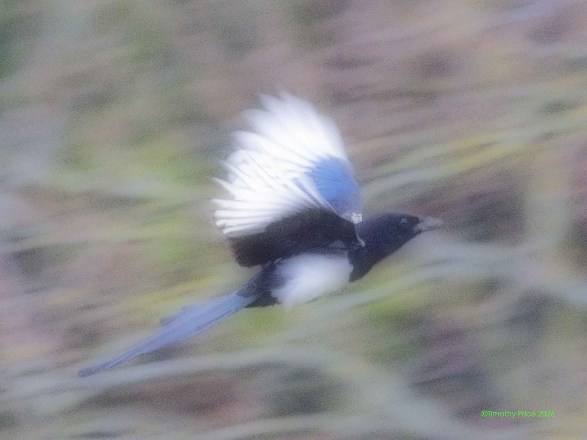
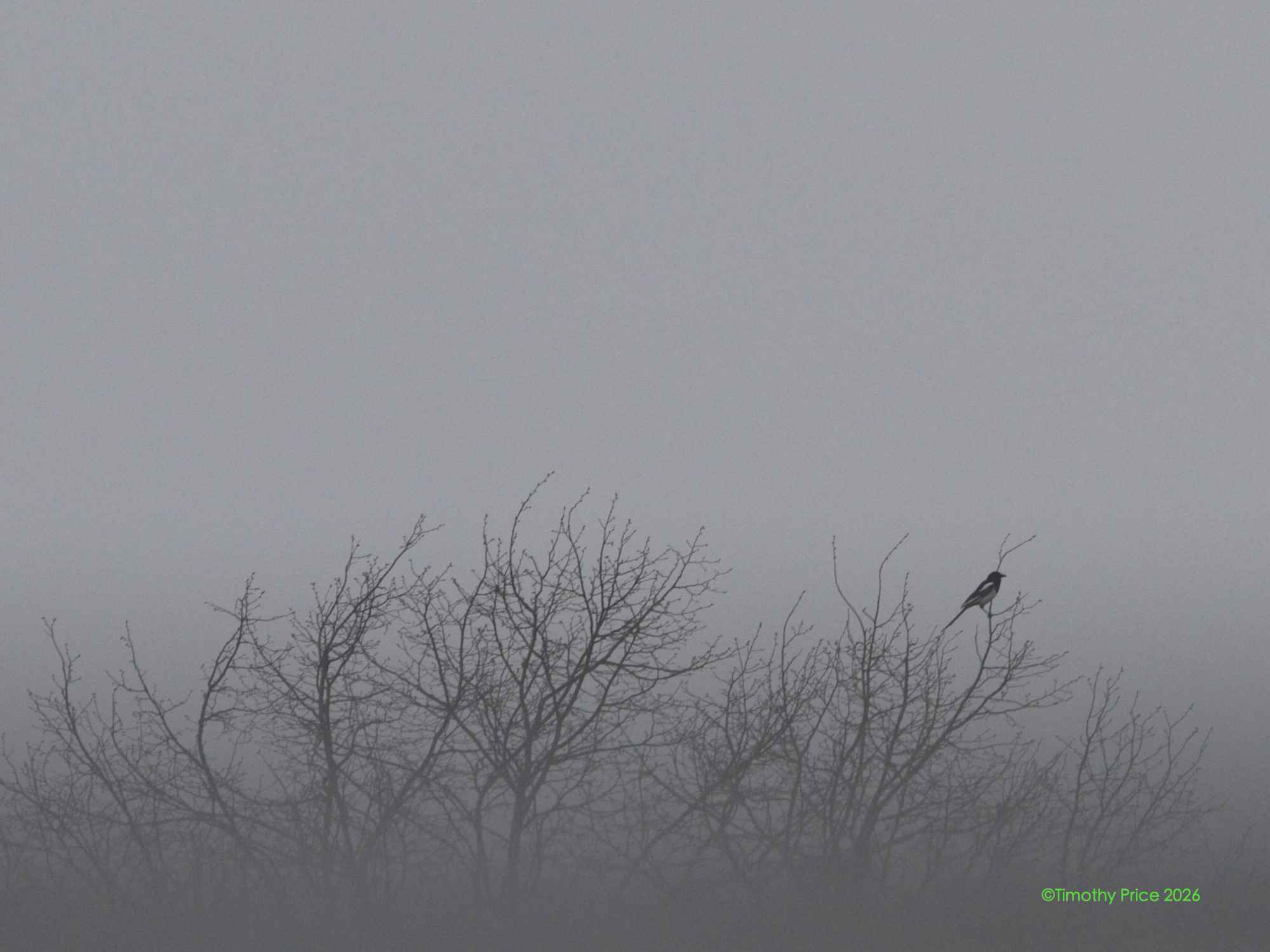
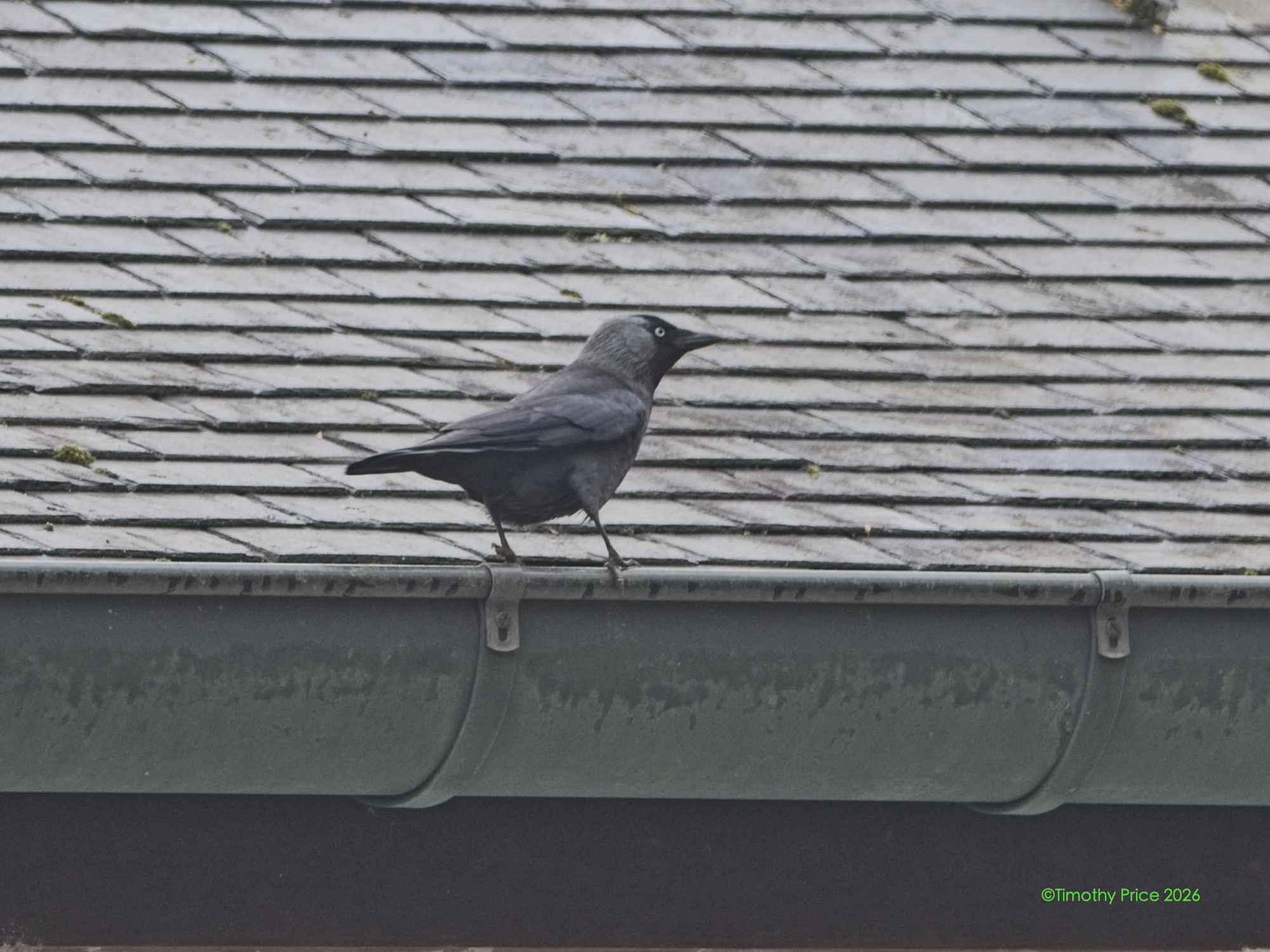
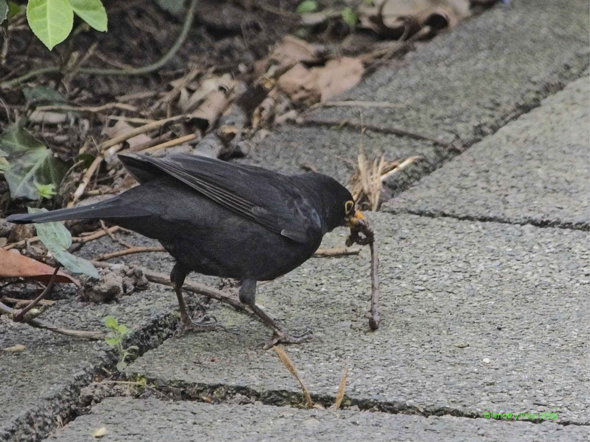
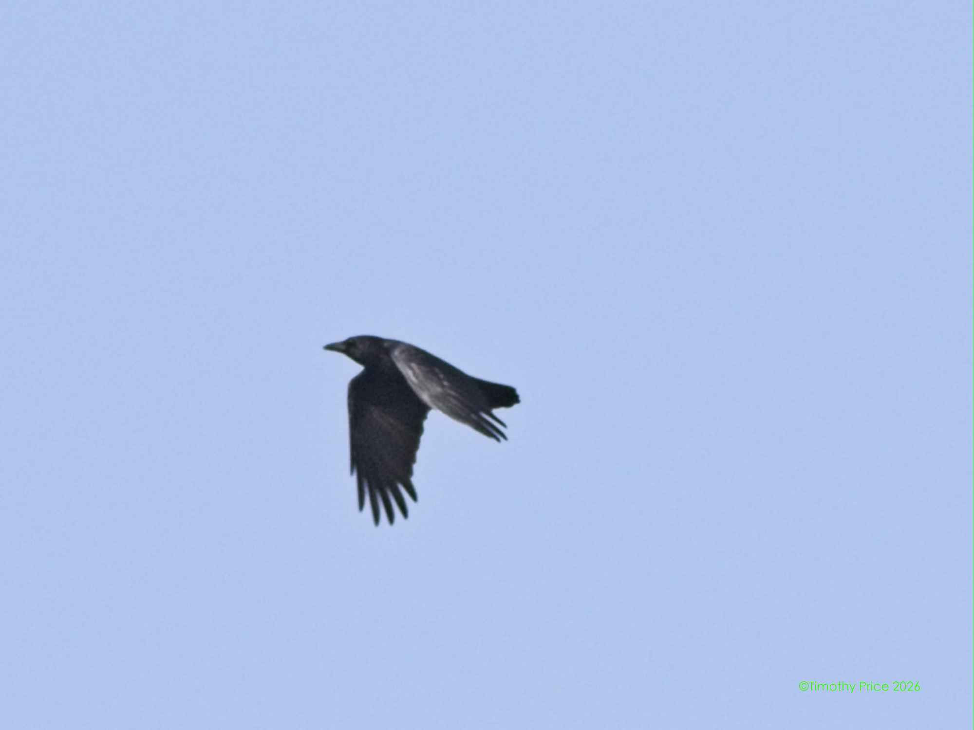
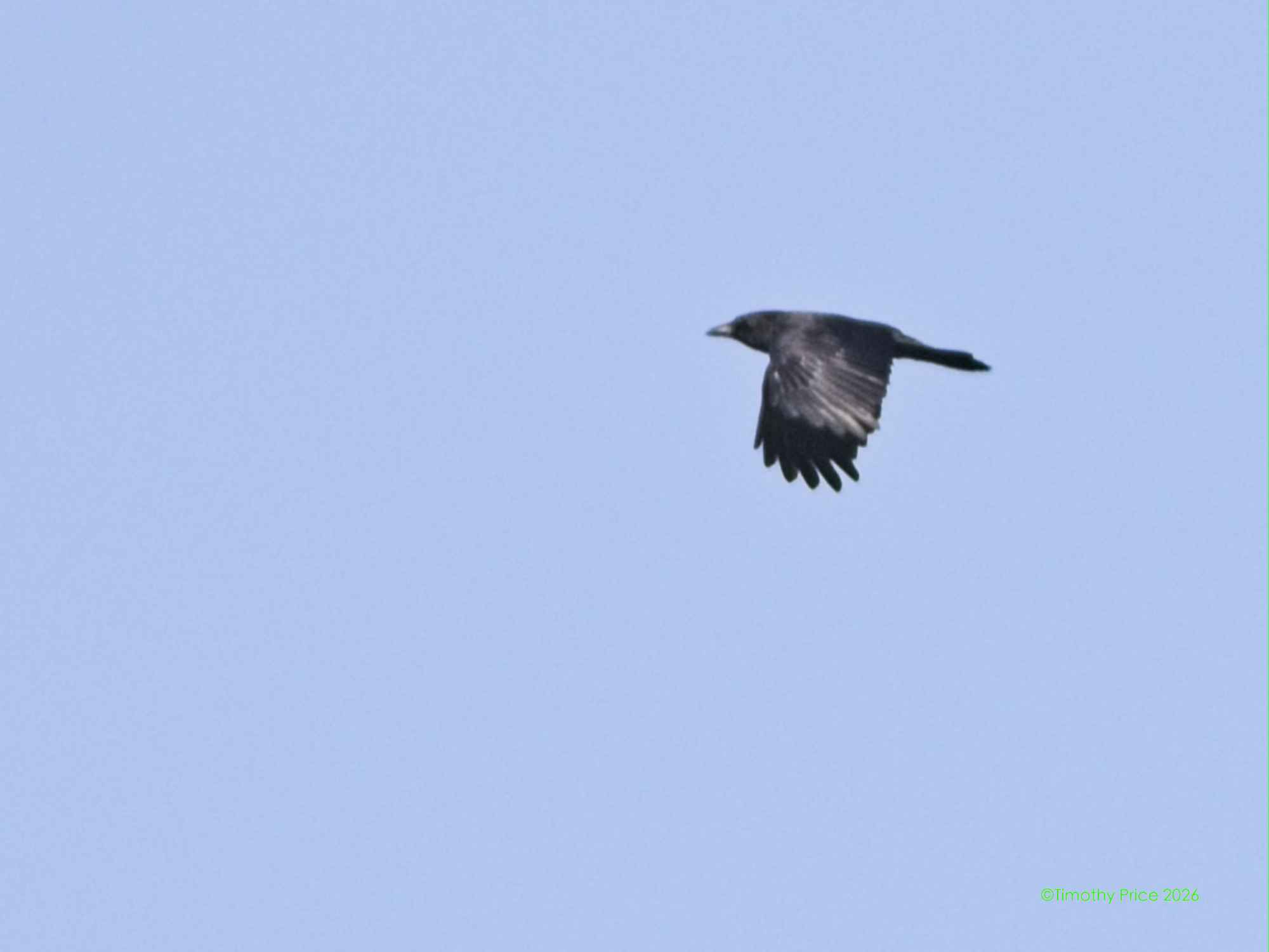
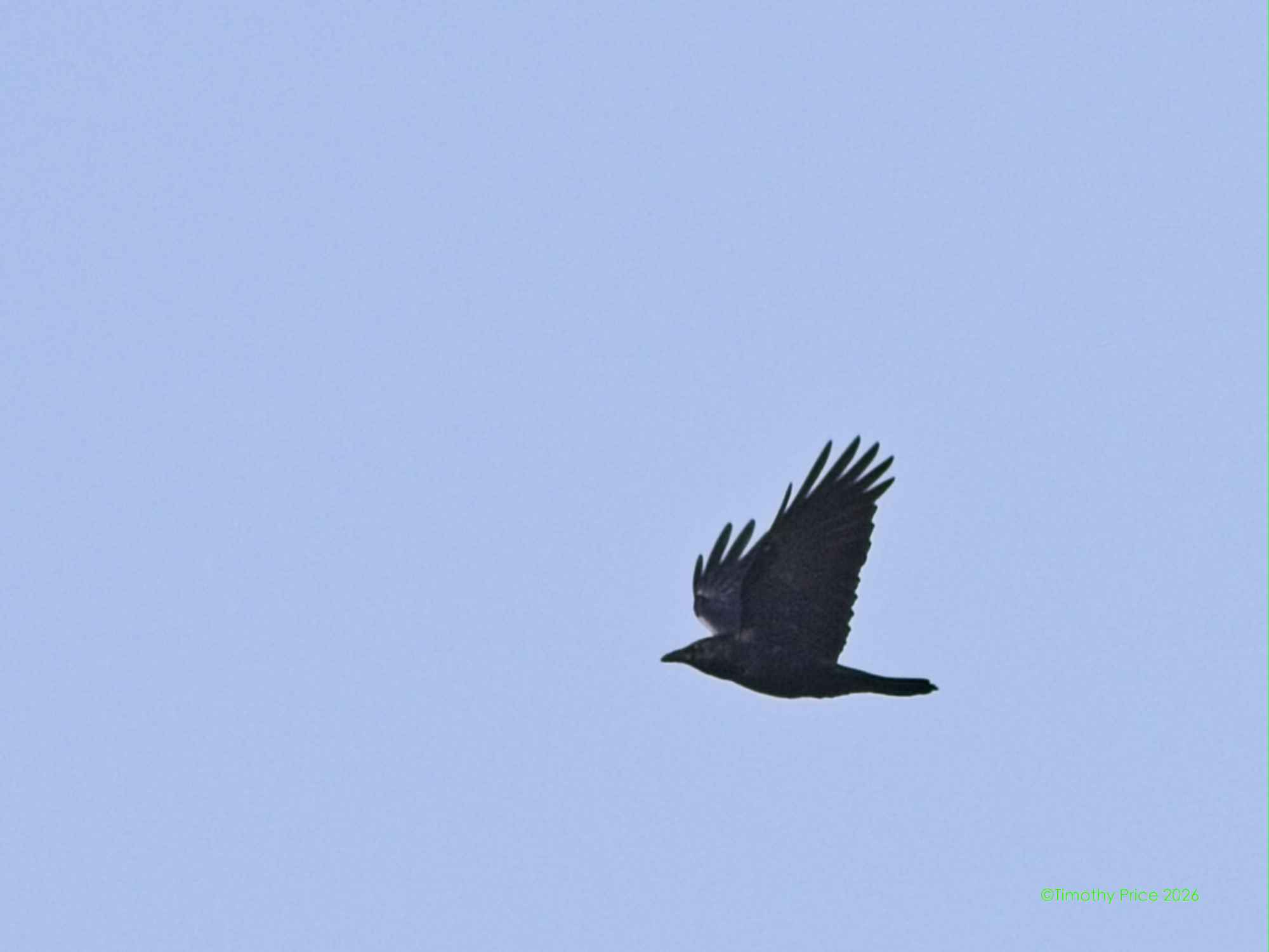
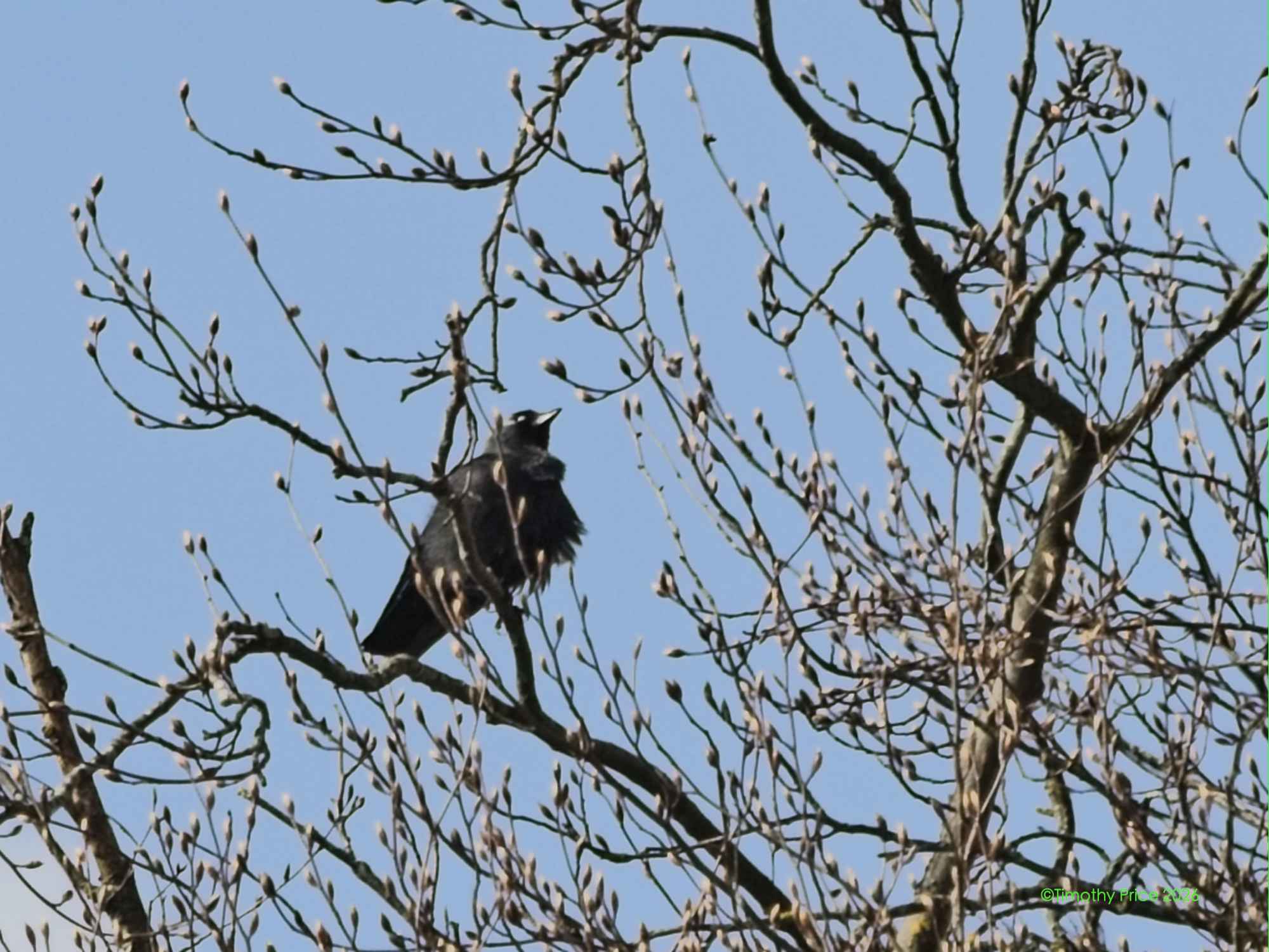
Carion! My wayward Crow. Where hast you been, and where dost you go?
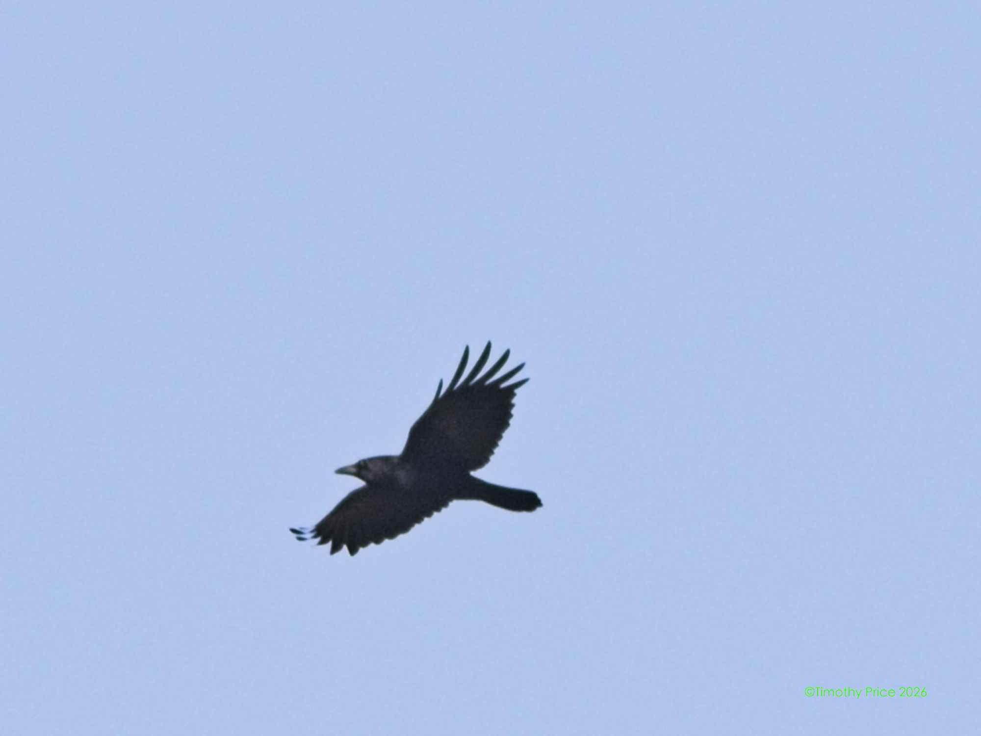
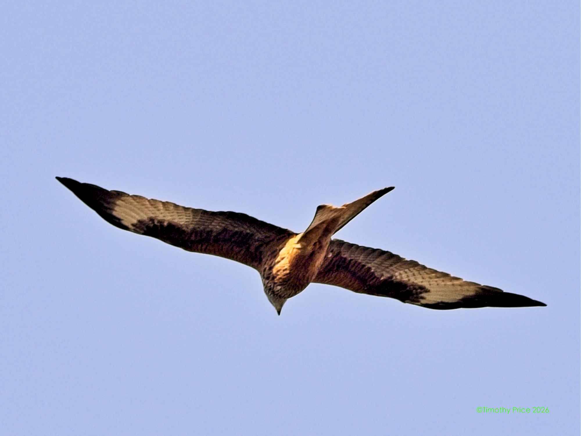
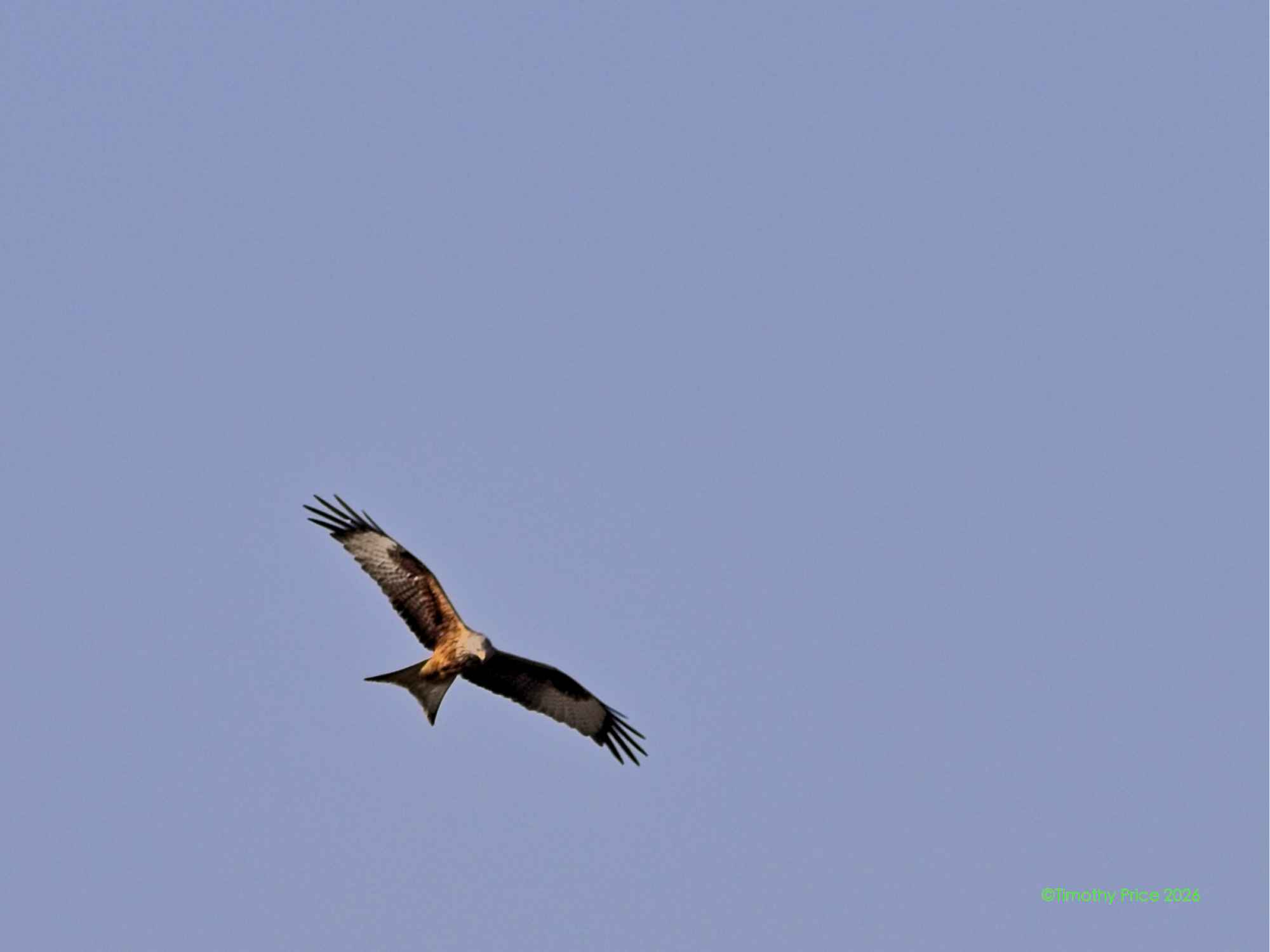
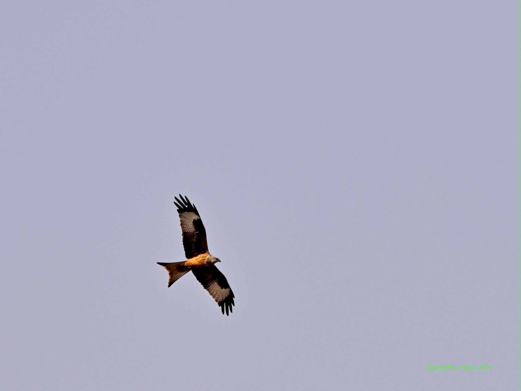
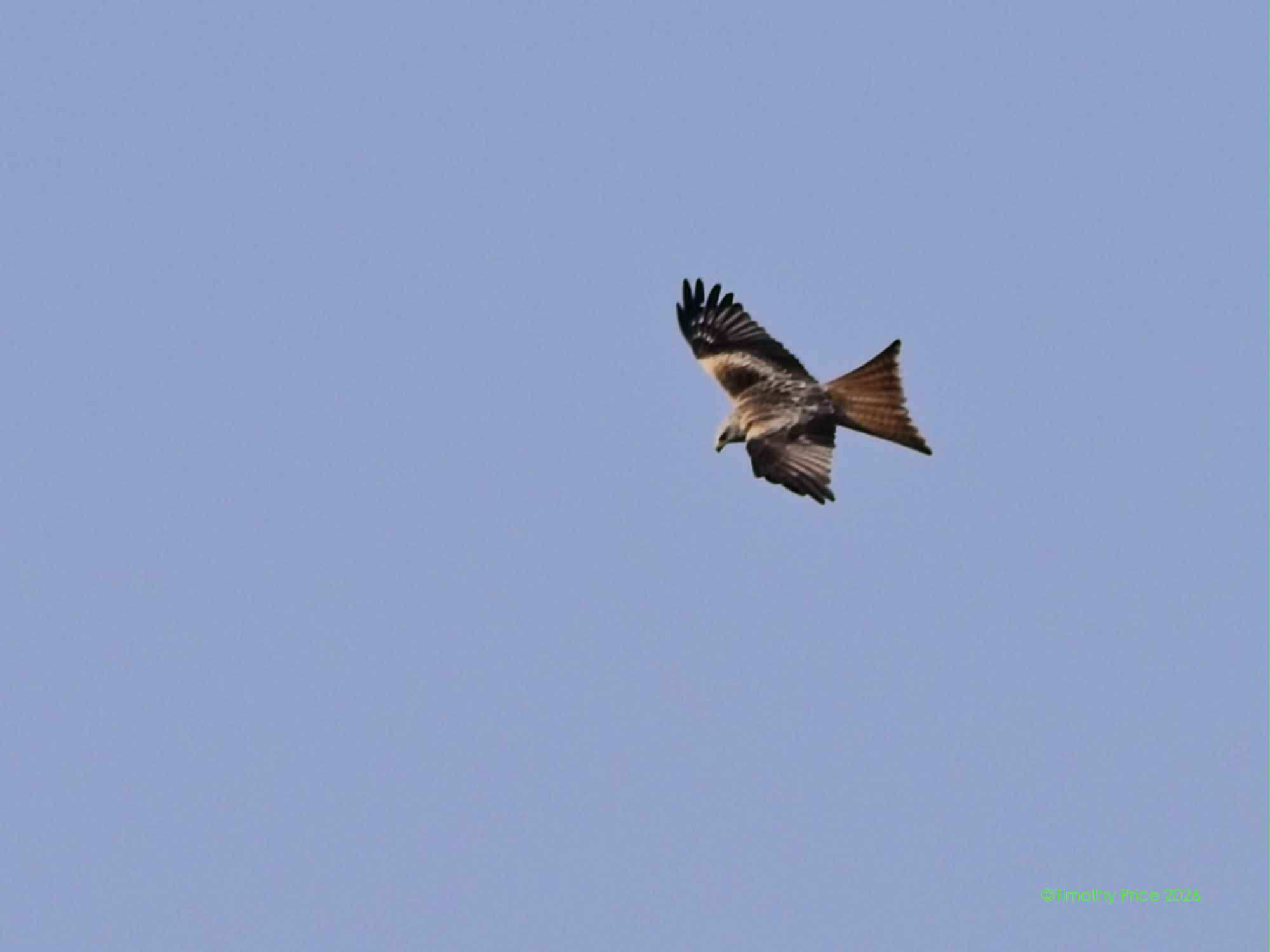
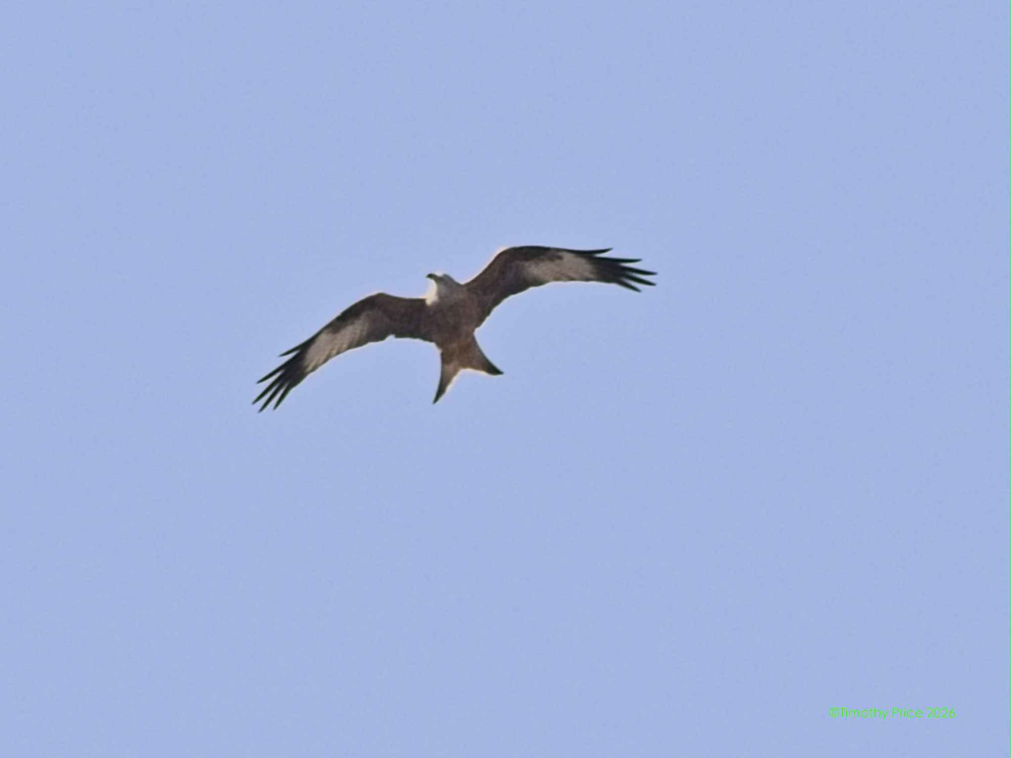
Red kite
The sign claims the St. Wendeler Easter Festival is the most beautiful spring festival. It brings out a bumber crop of people.
A Red Kite was looking to make a meal of the Böser Osterhase.
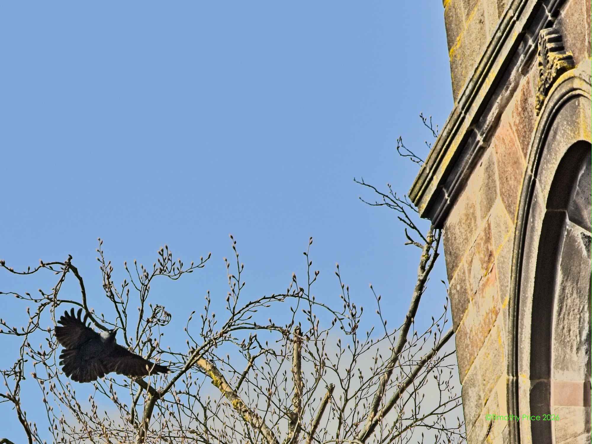
Carion the wayward Crow fallowed us to Sankt Wendel.
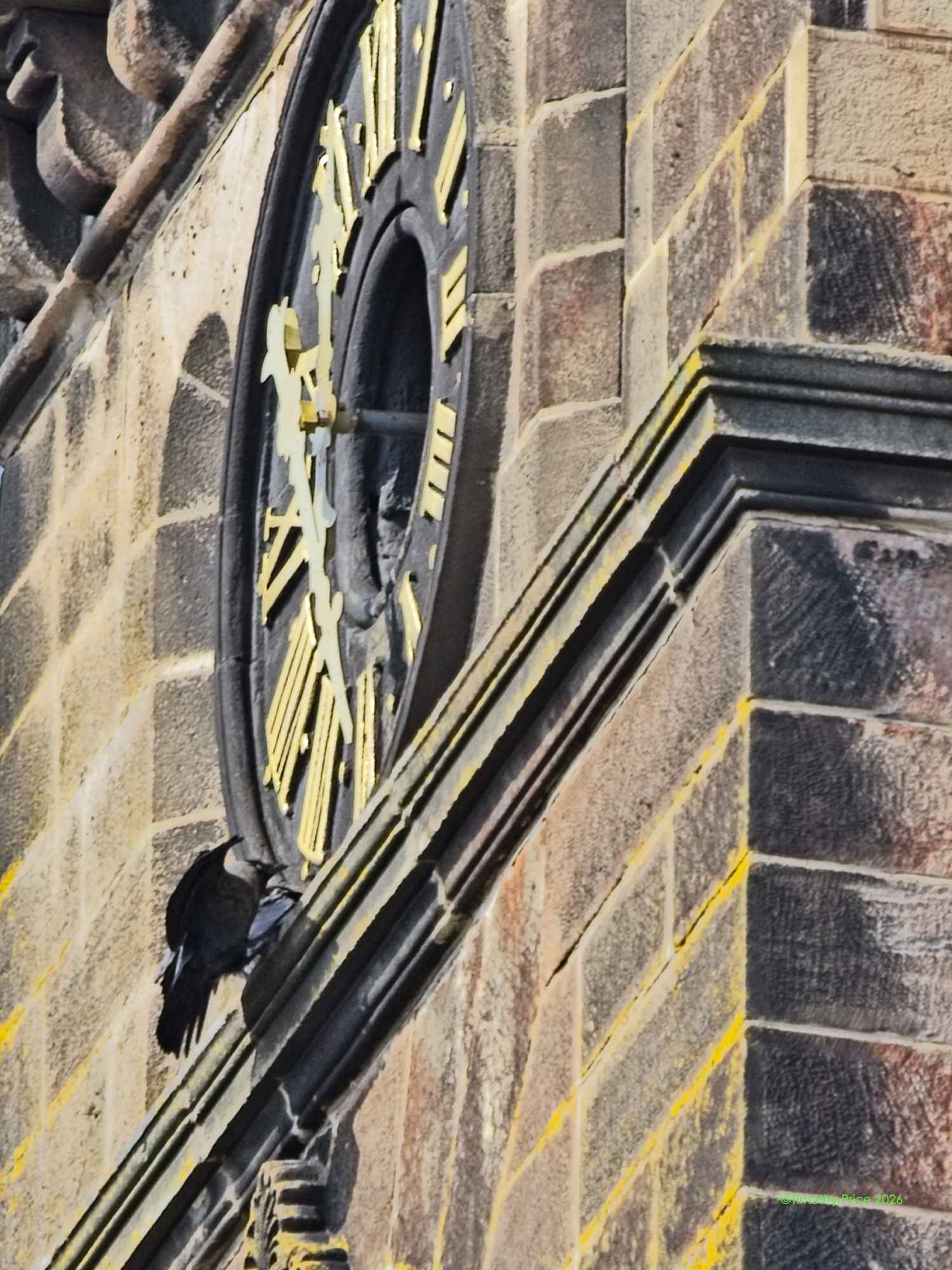
Carion Crow clocking in.
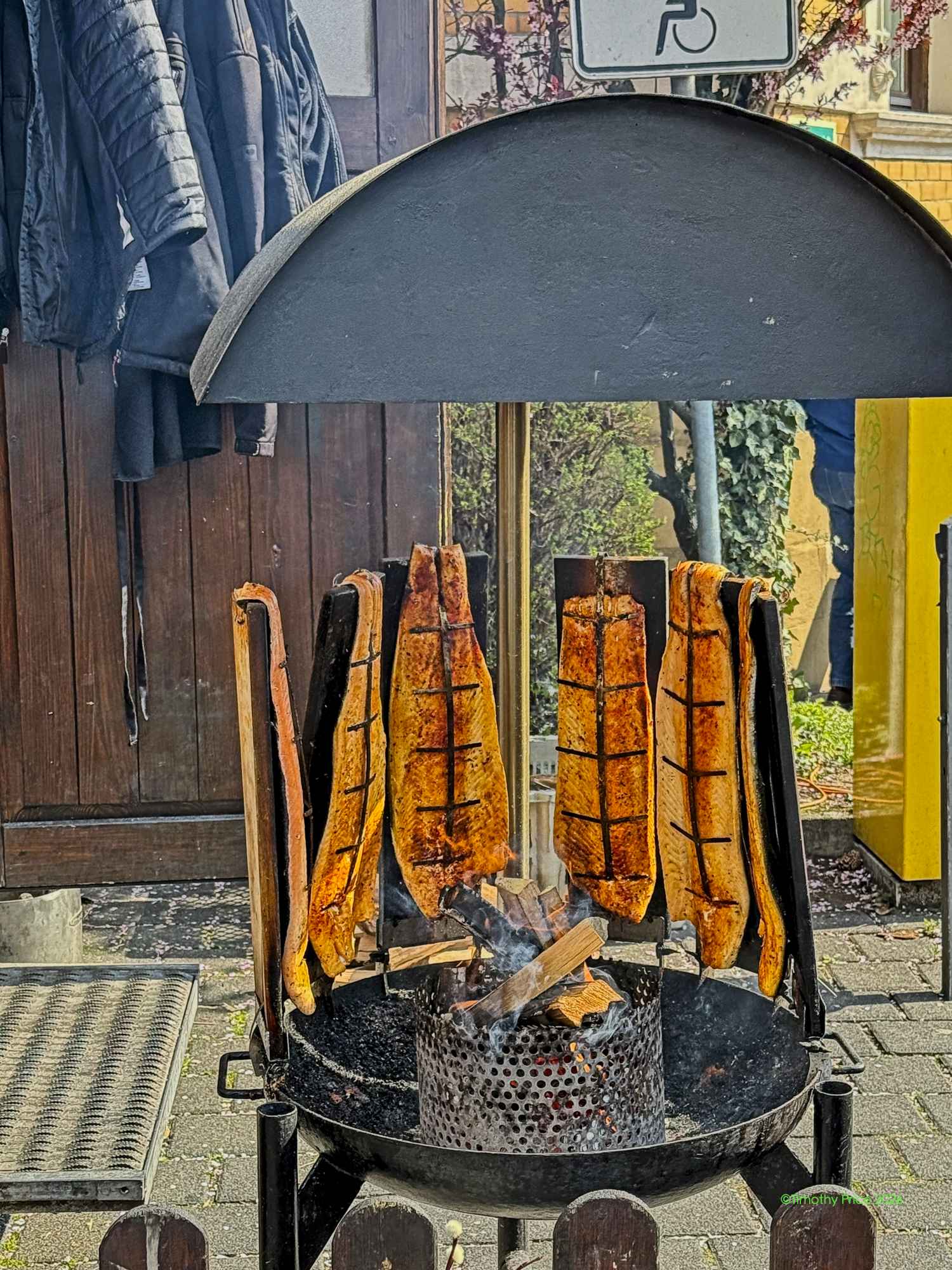
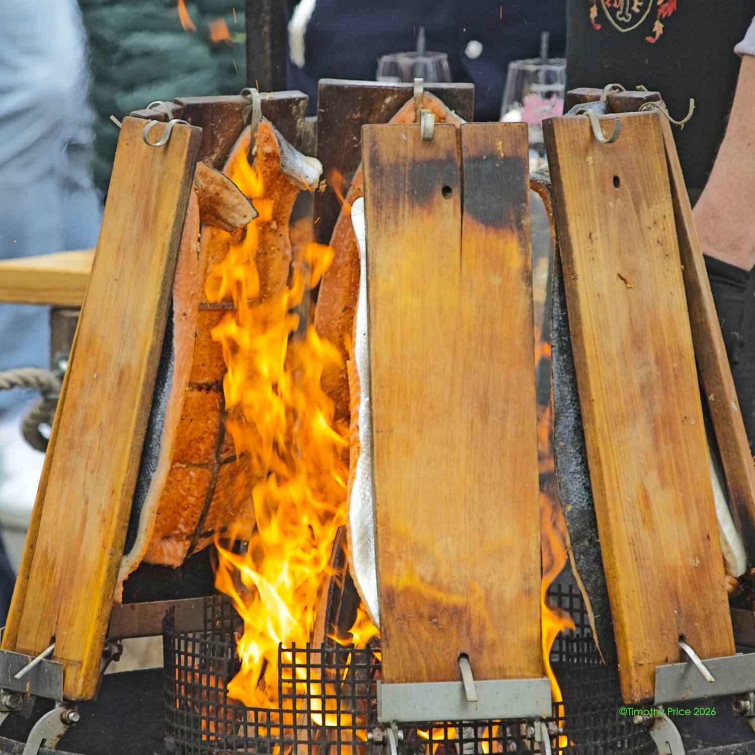
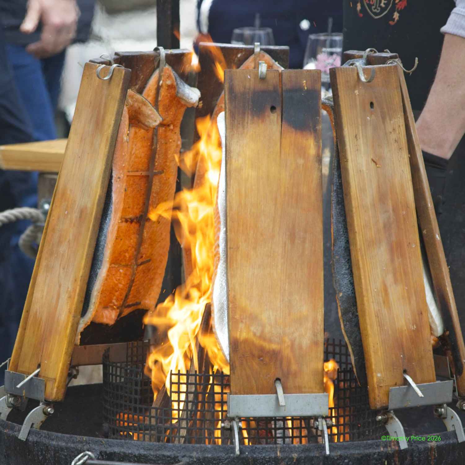
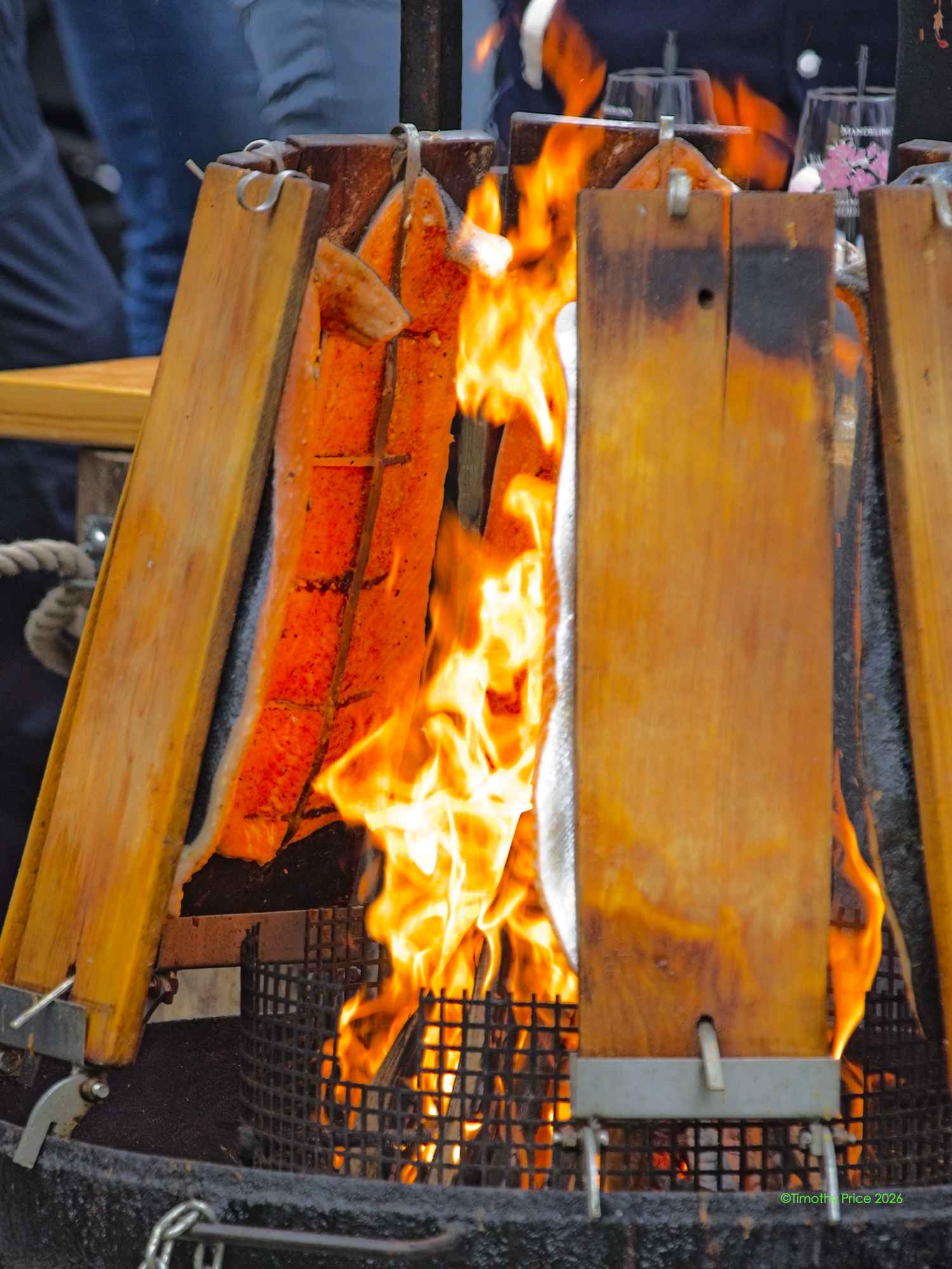
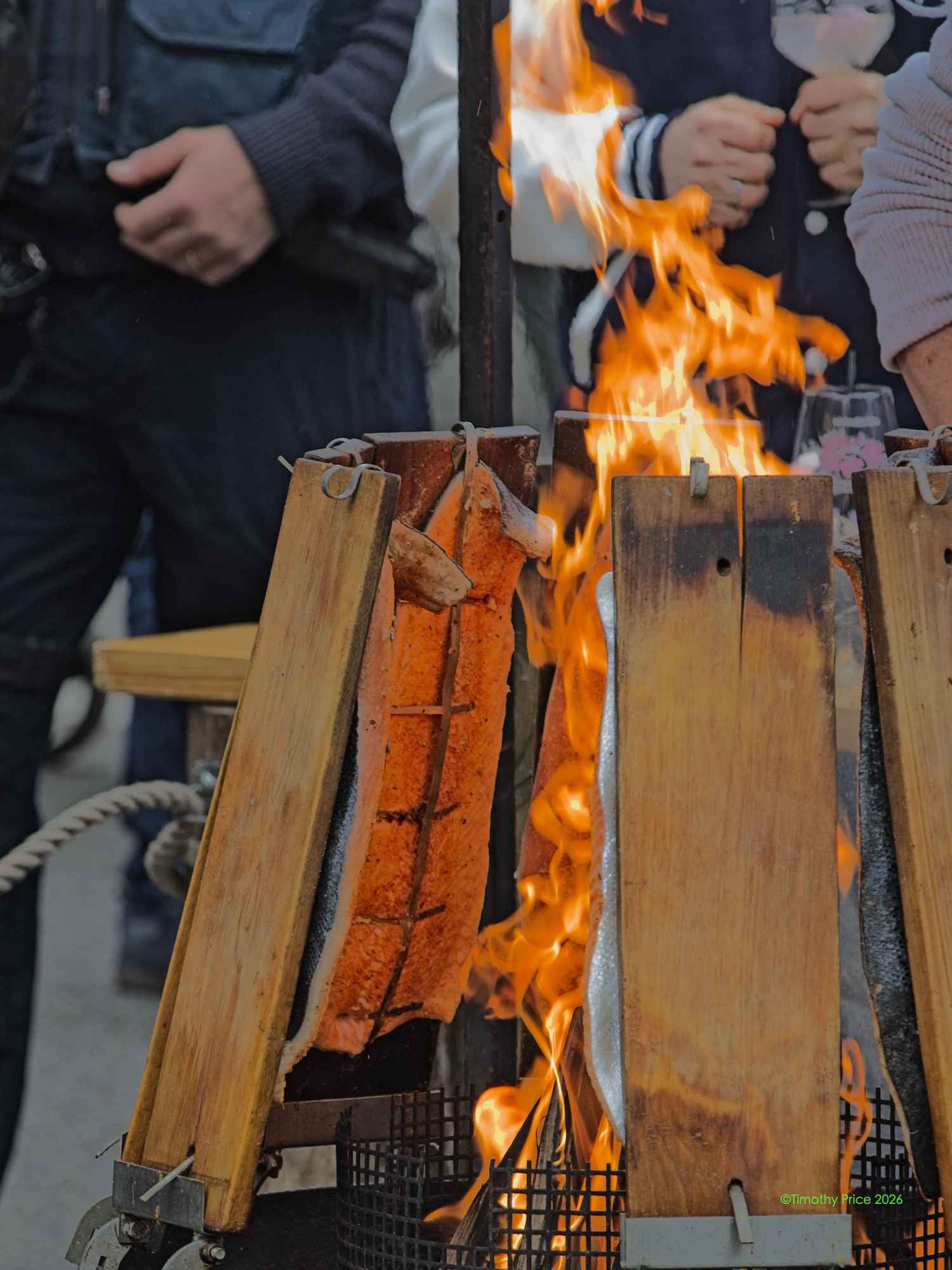
Plank roasted salmon seems to be a staple at festivals
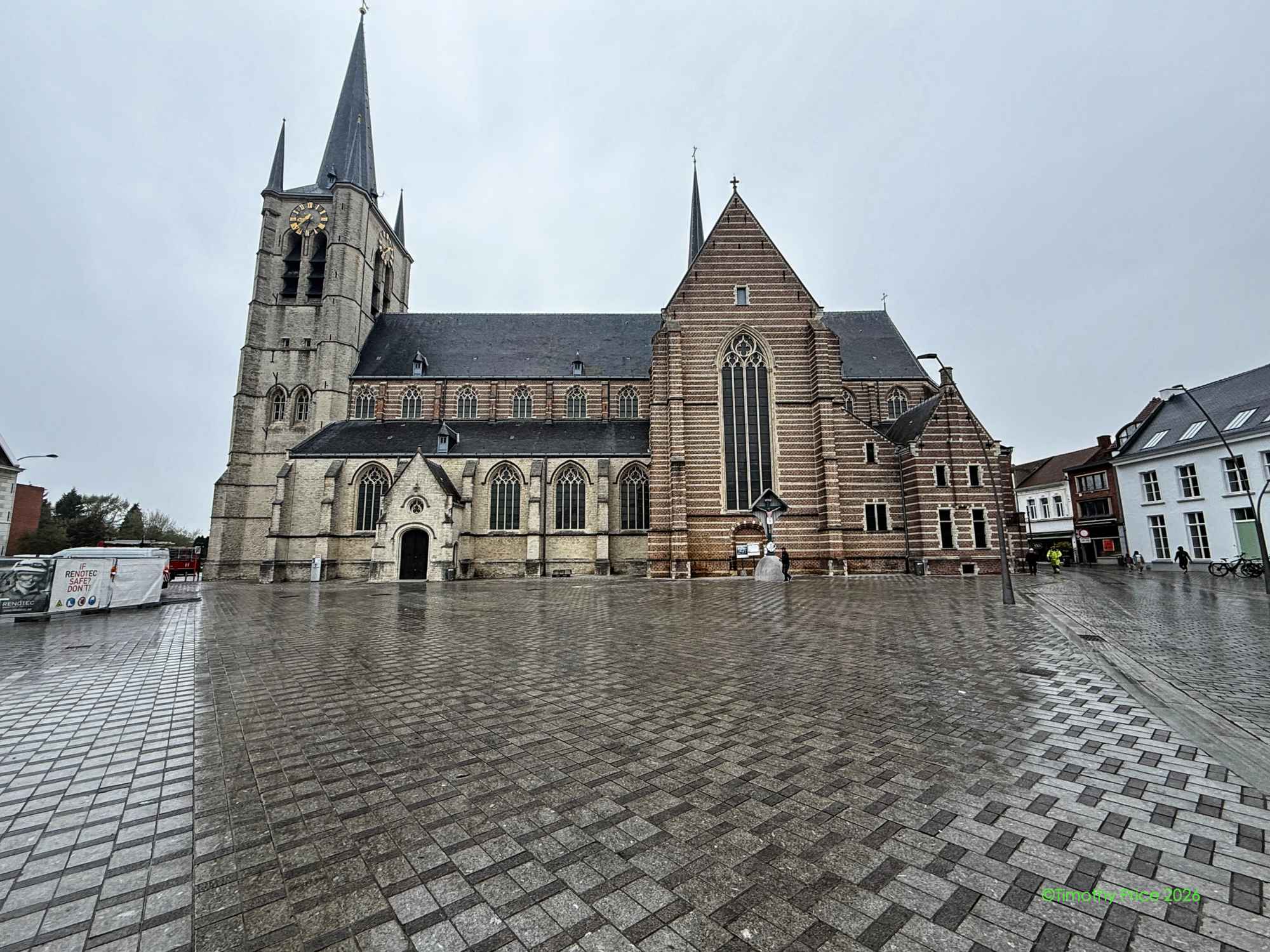
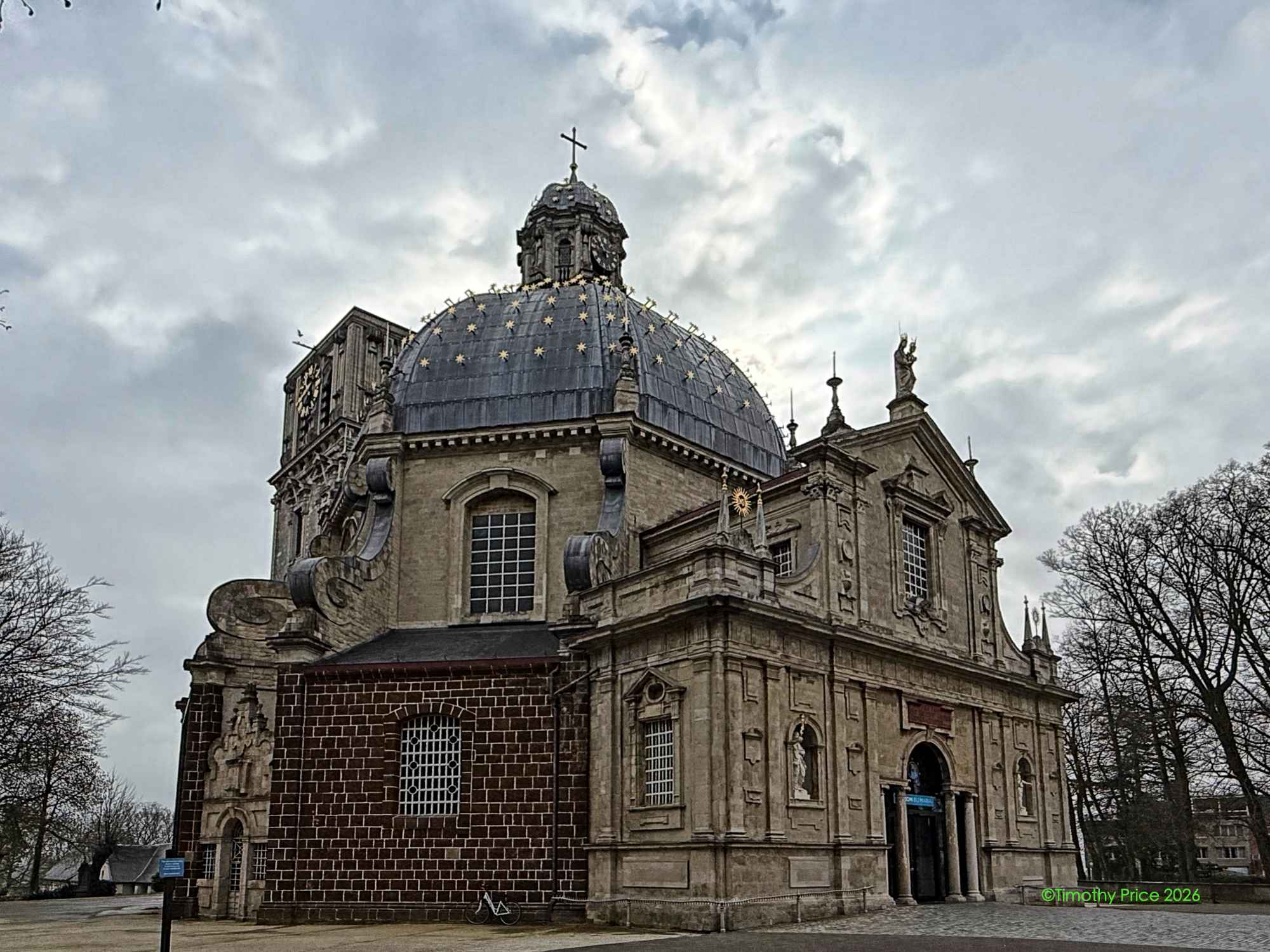
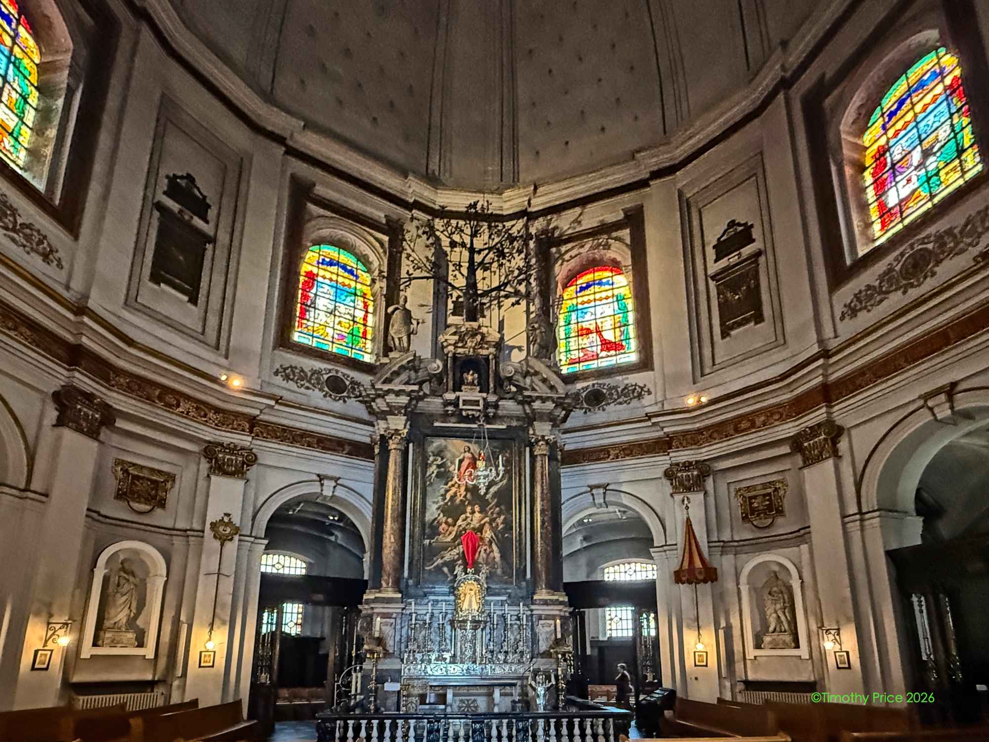
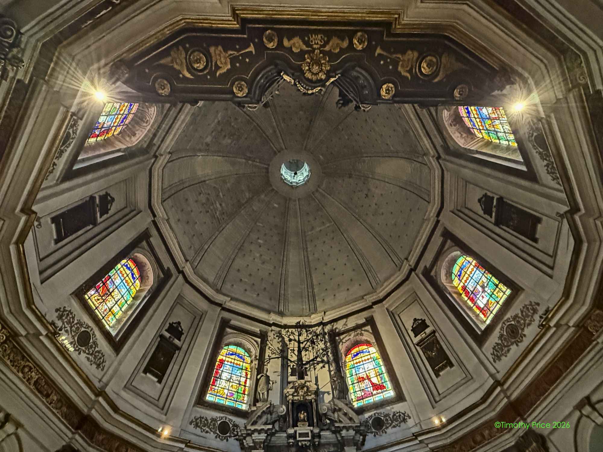
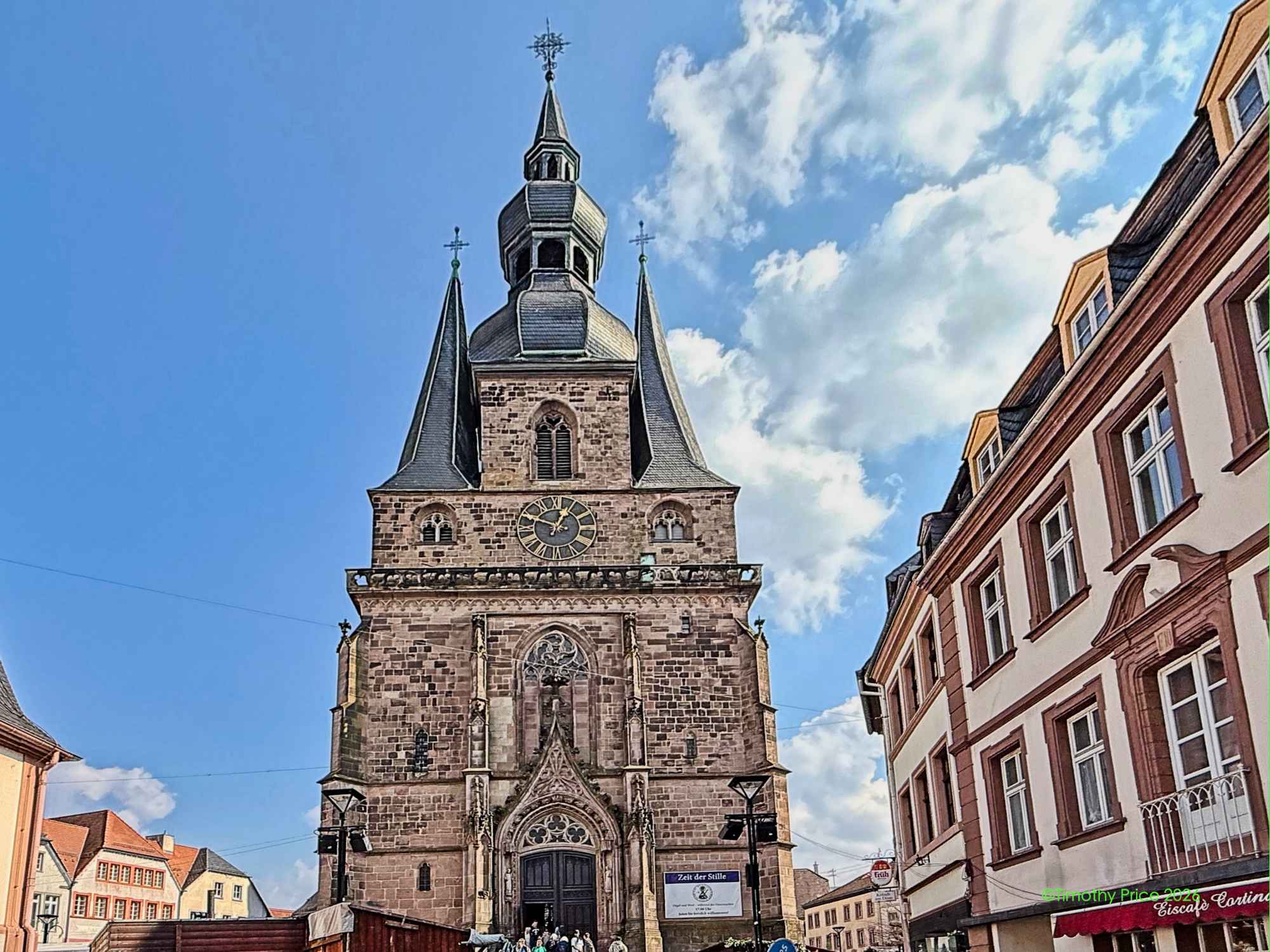
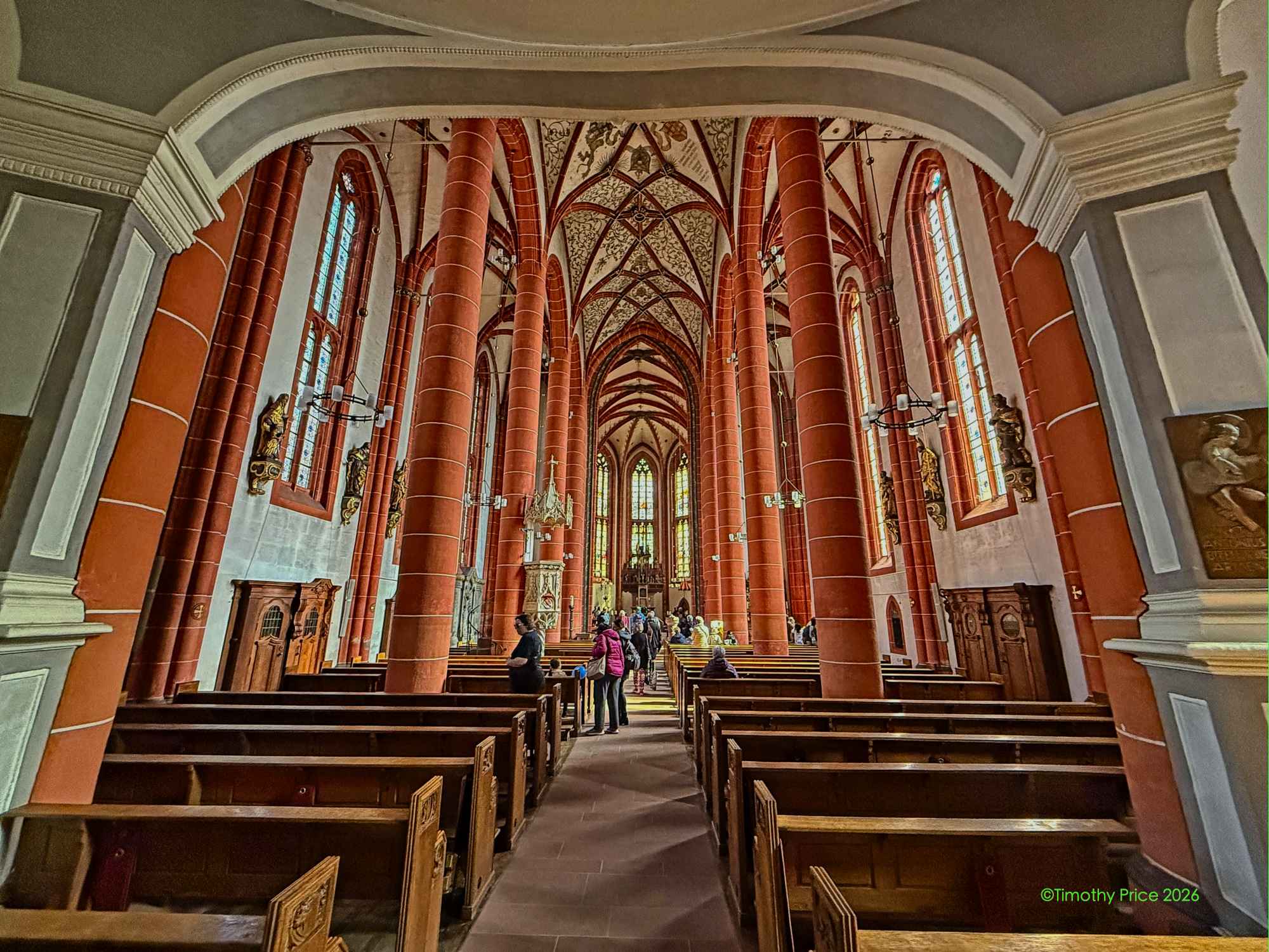
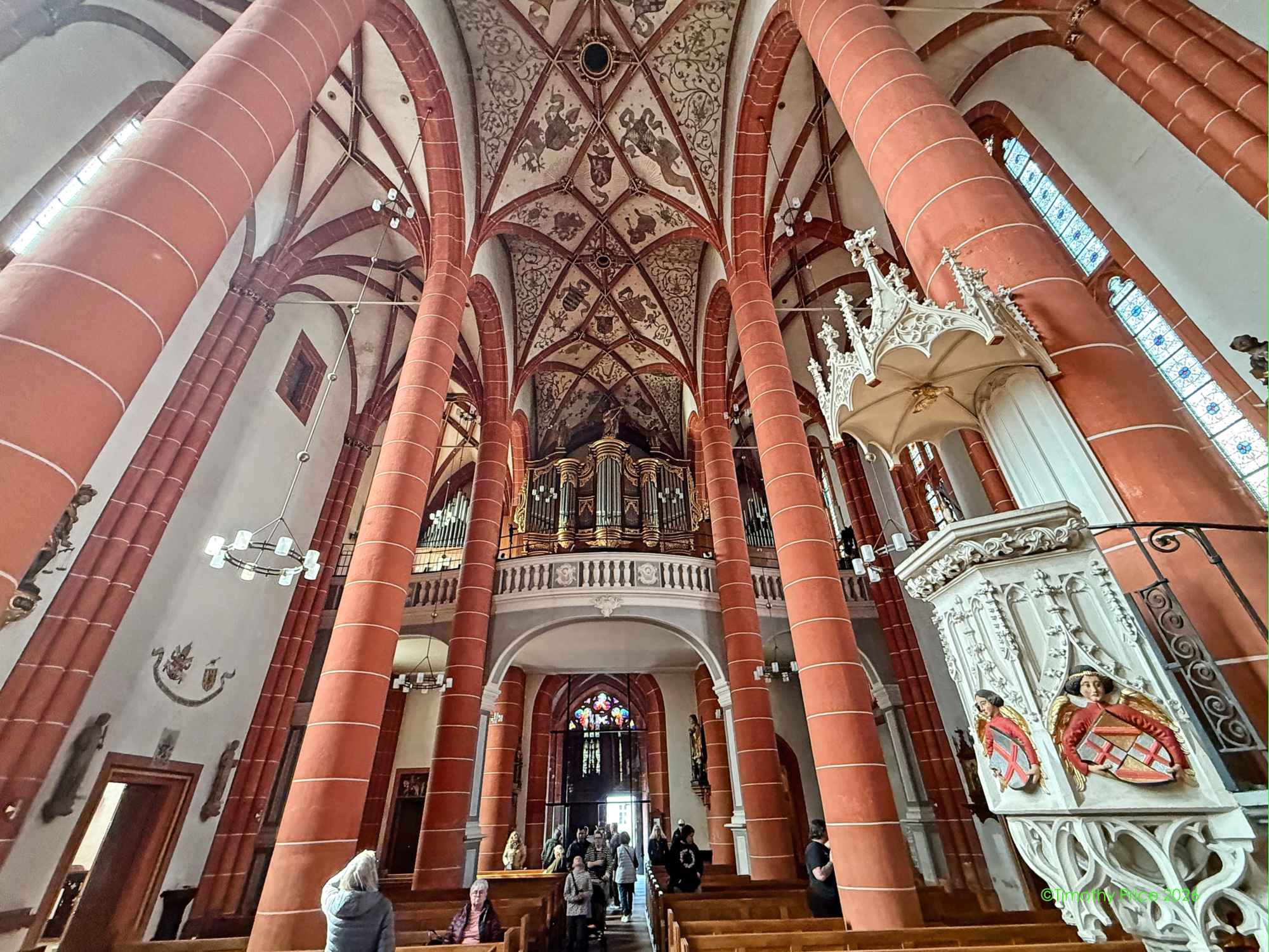
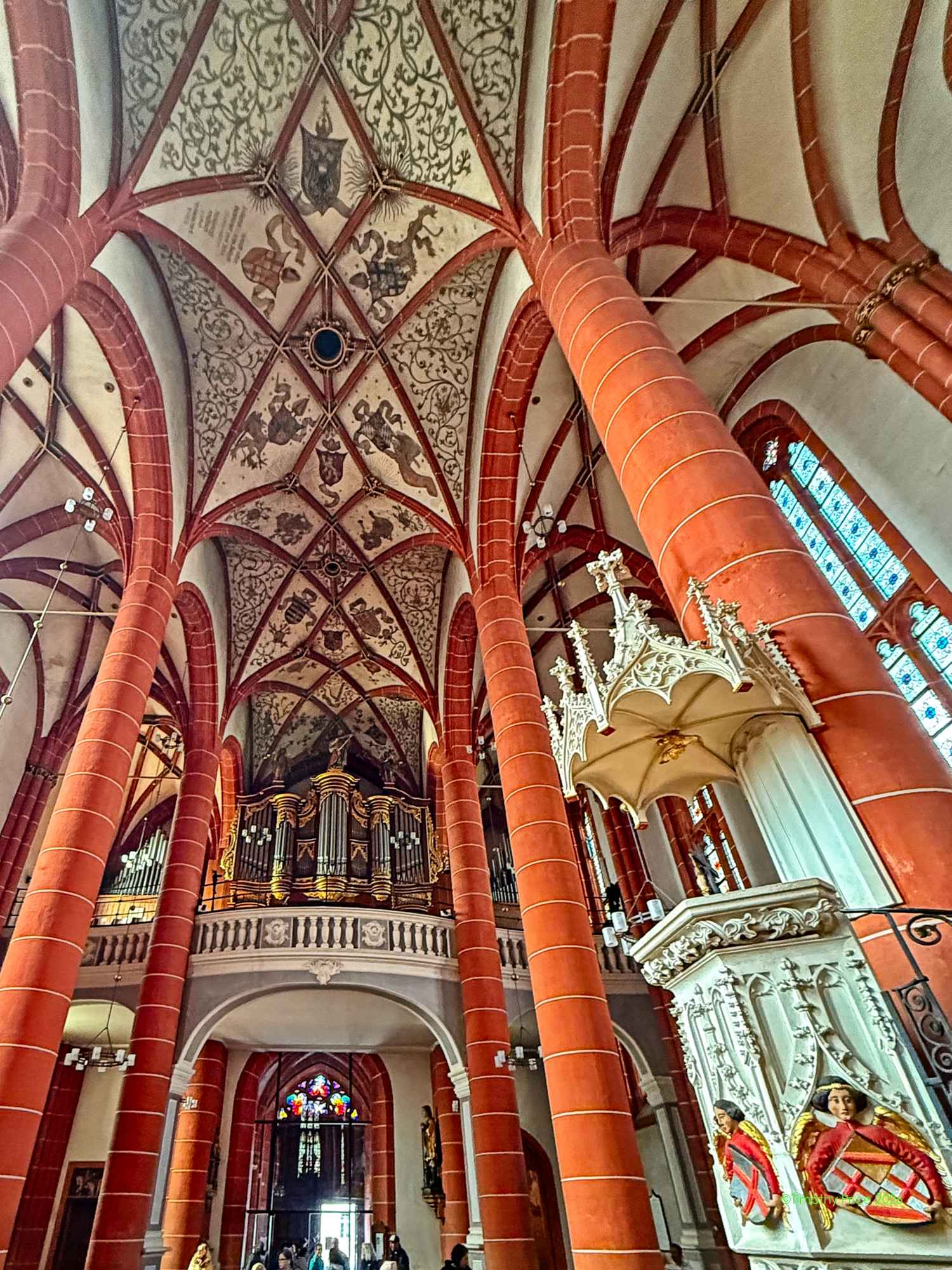
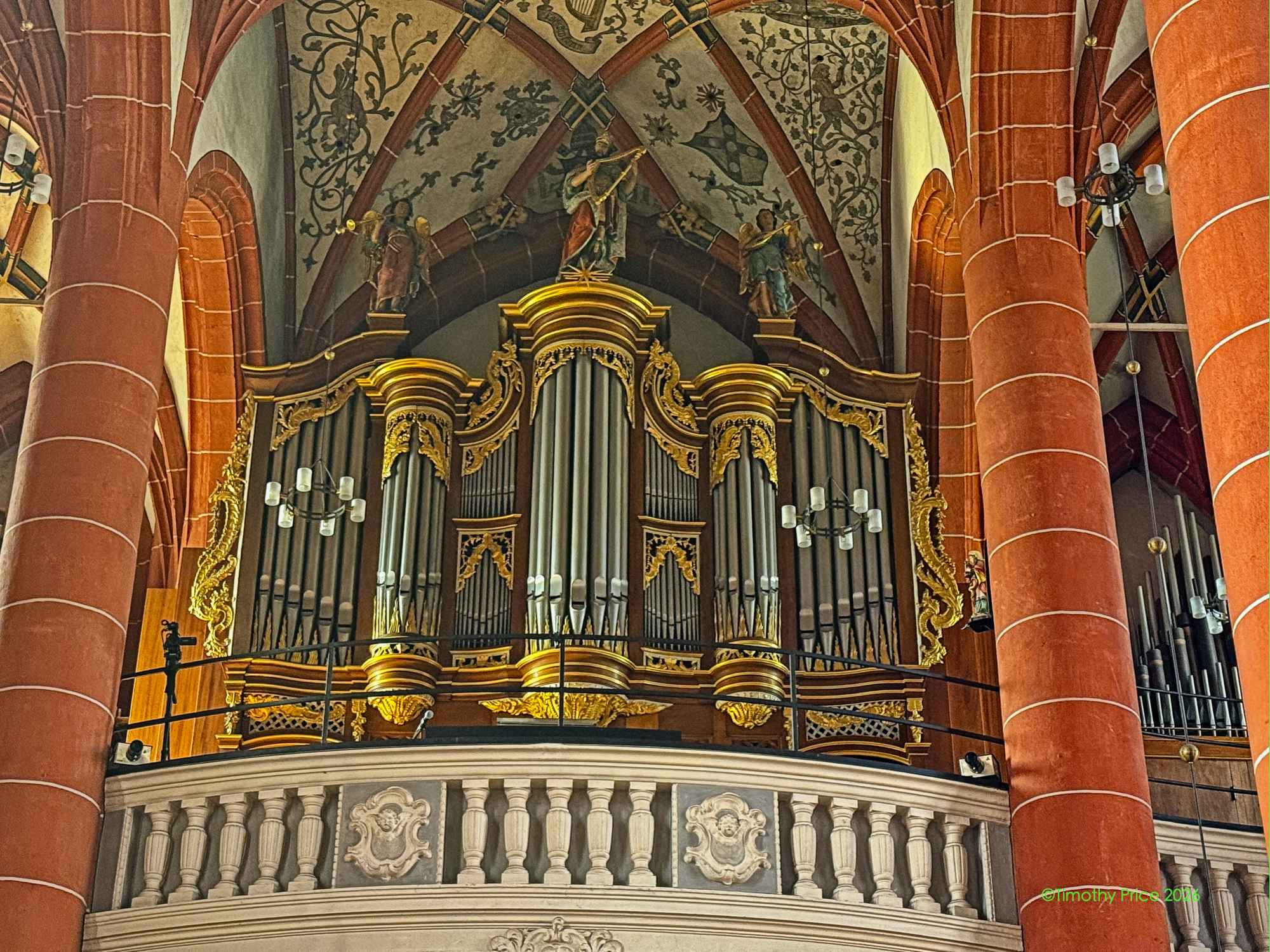
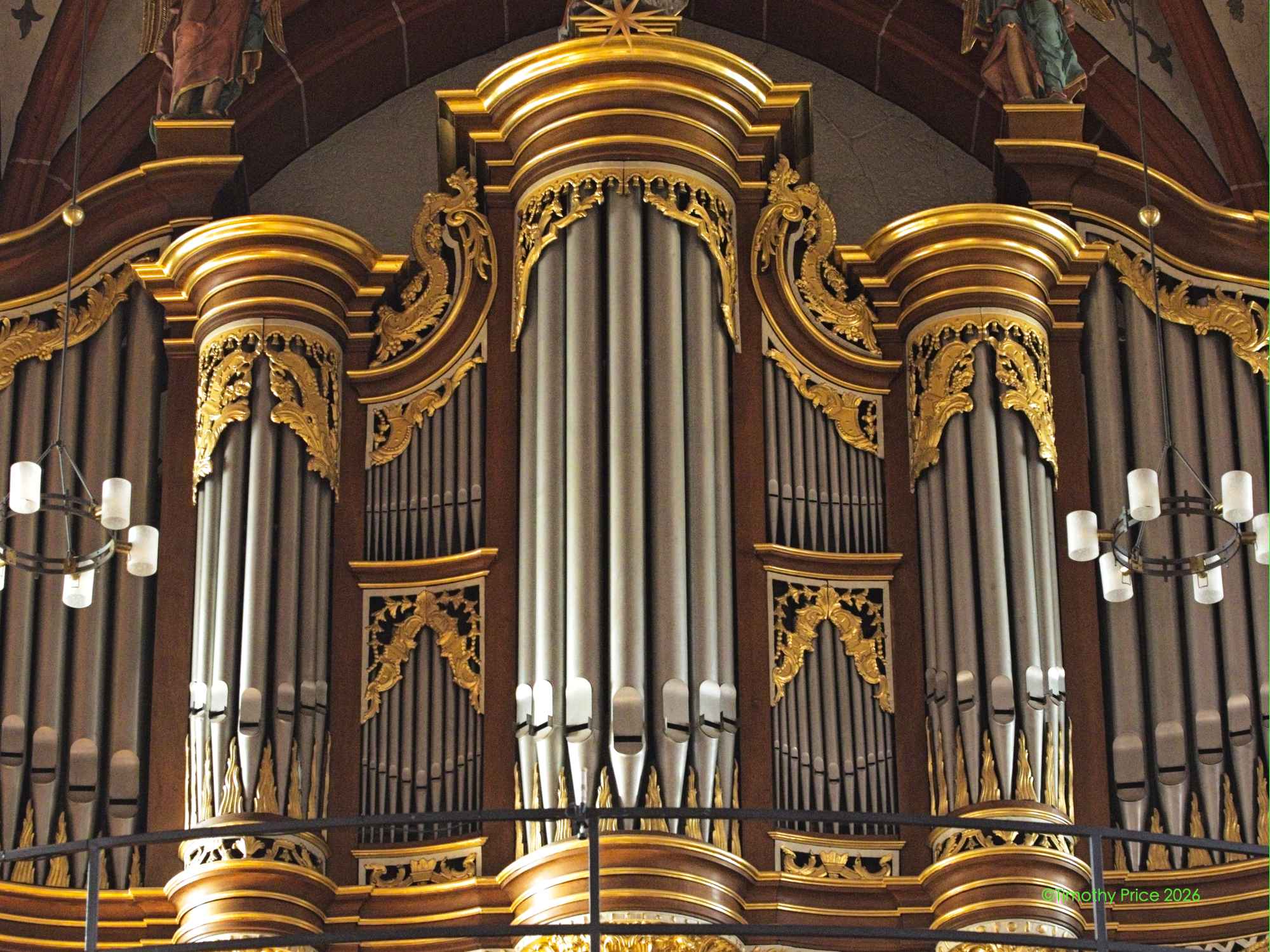
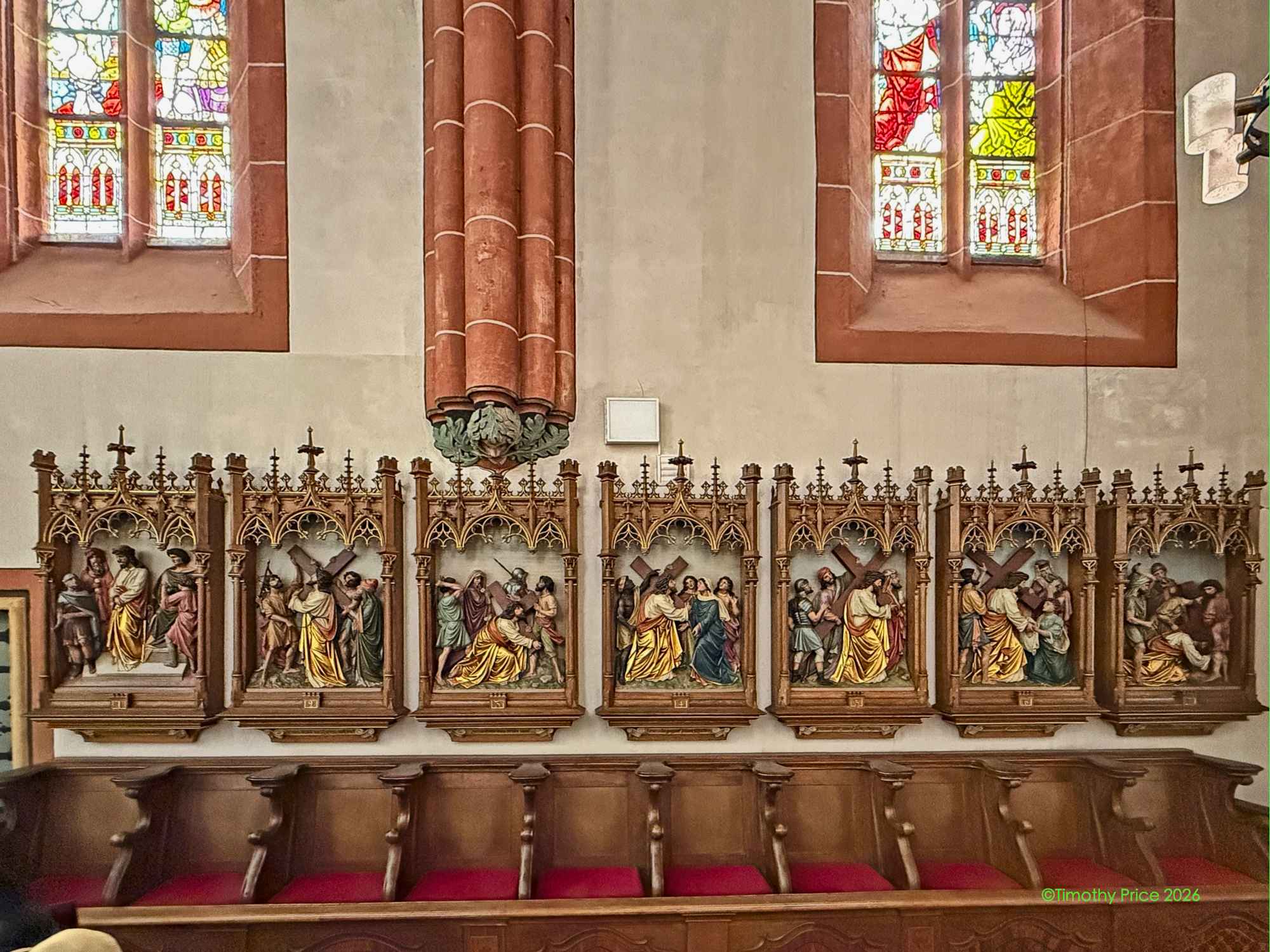
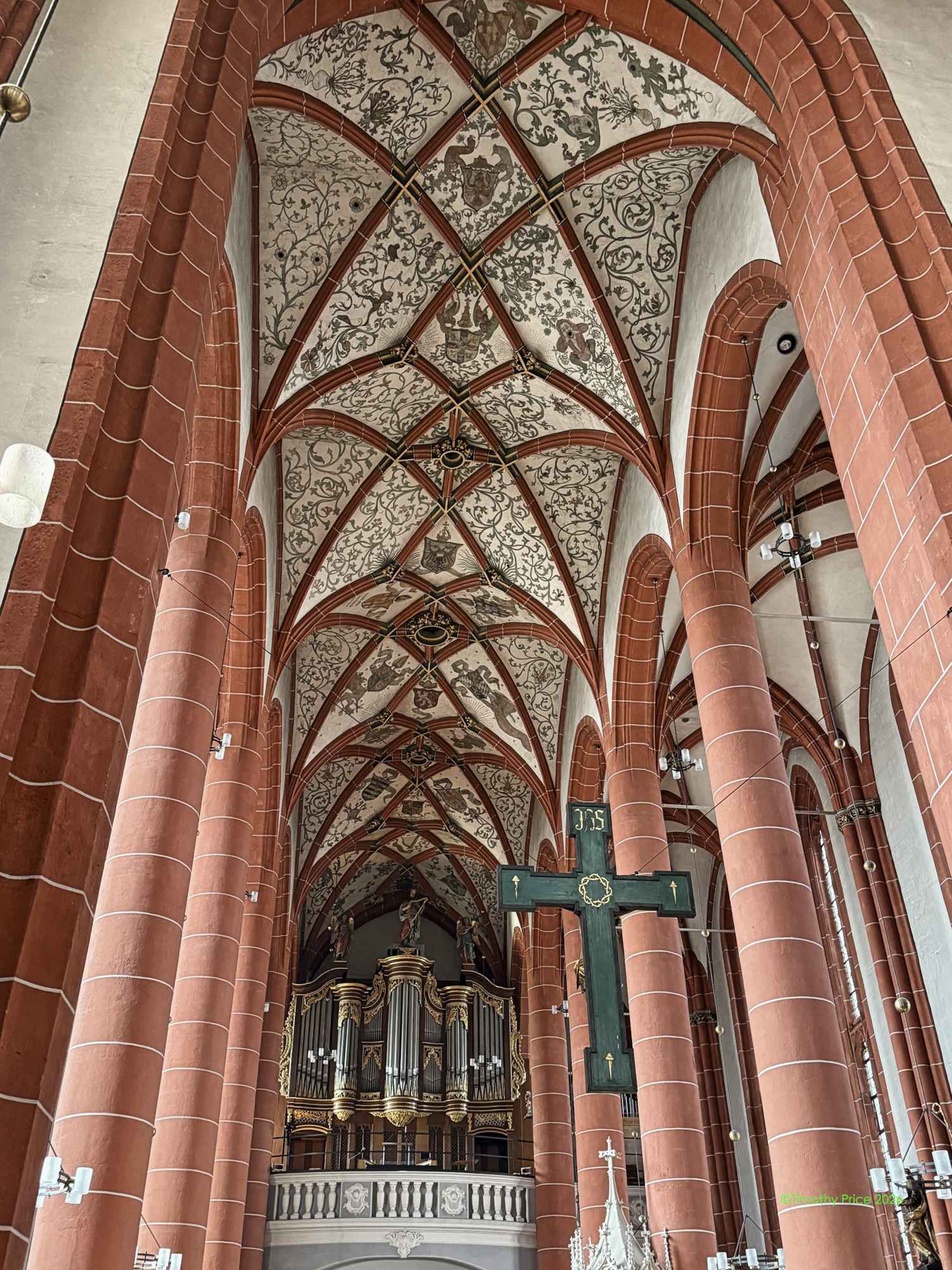
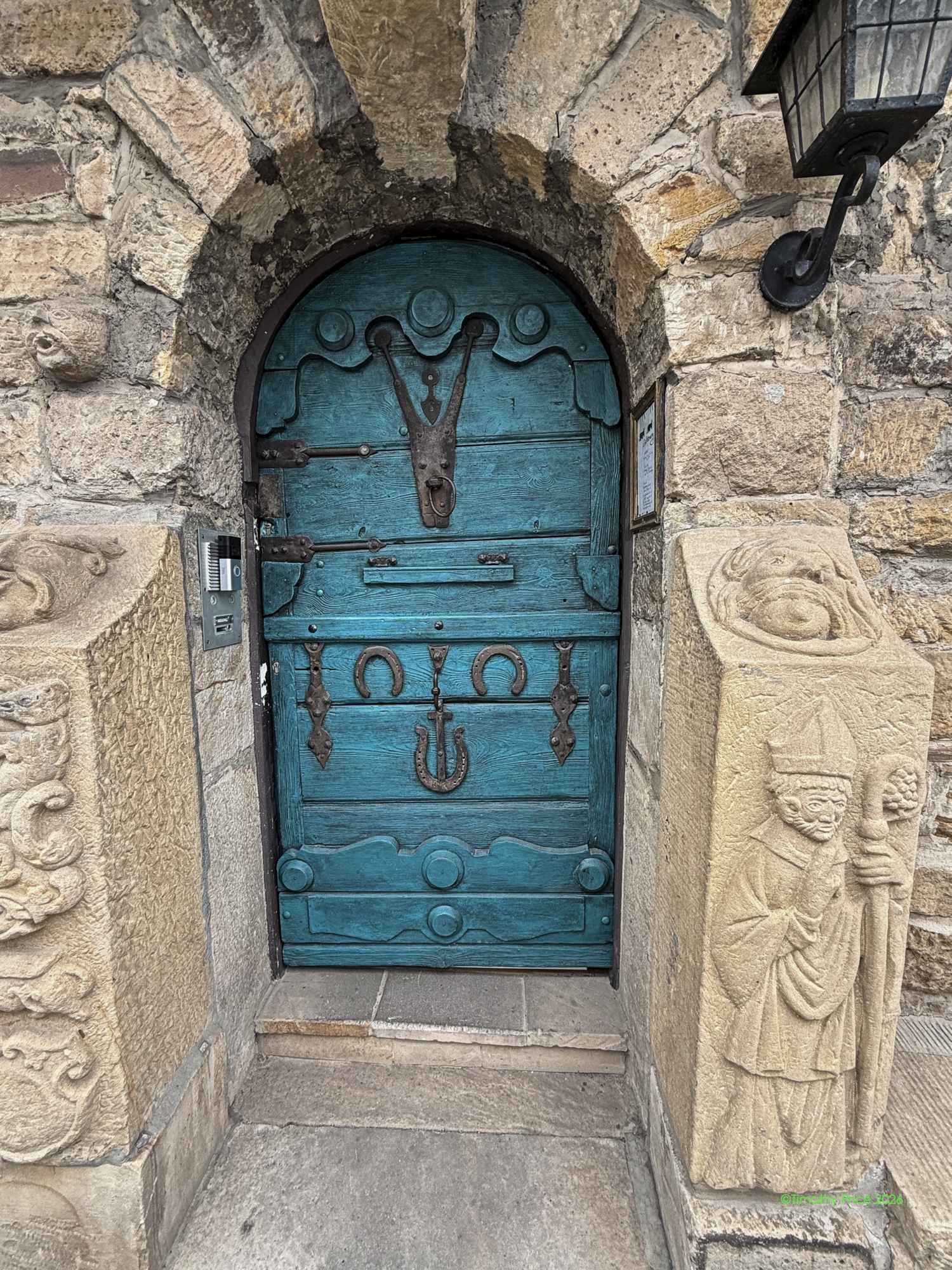
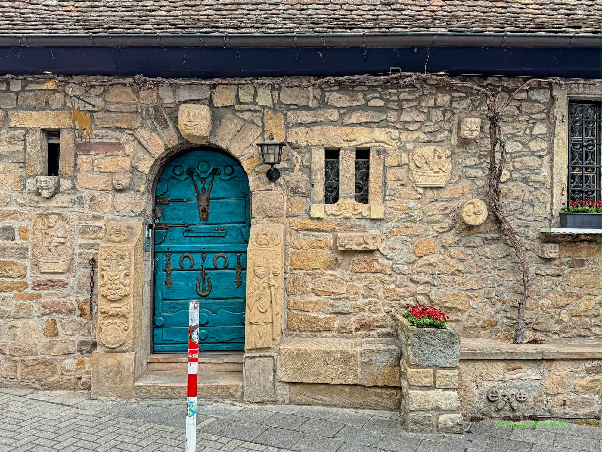
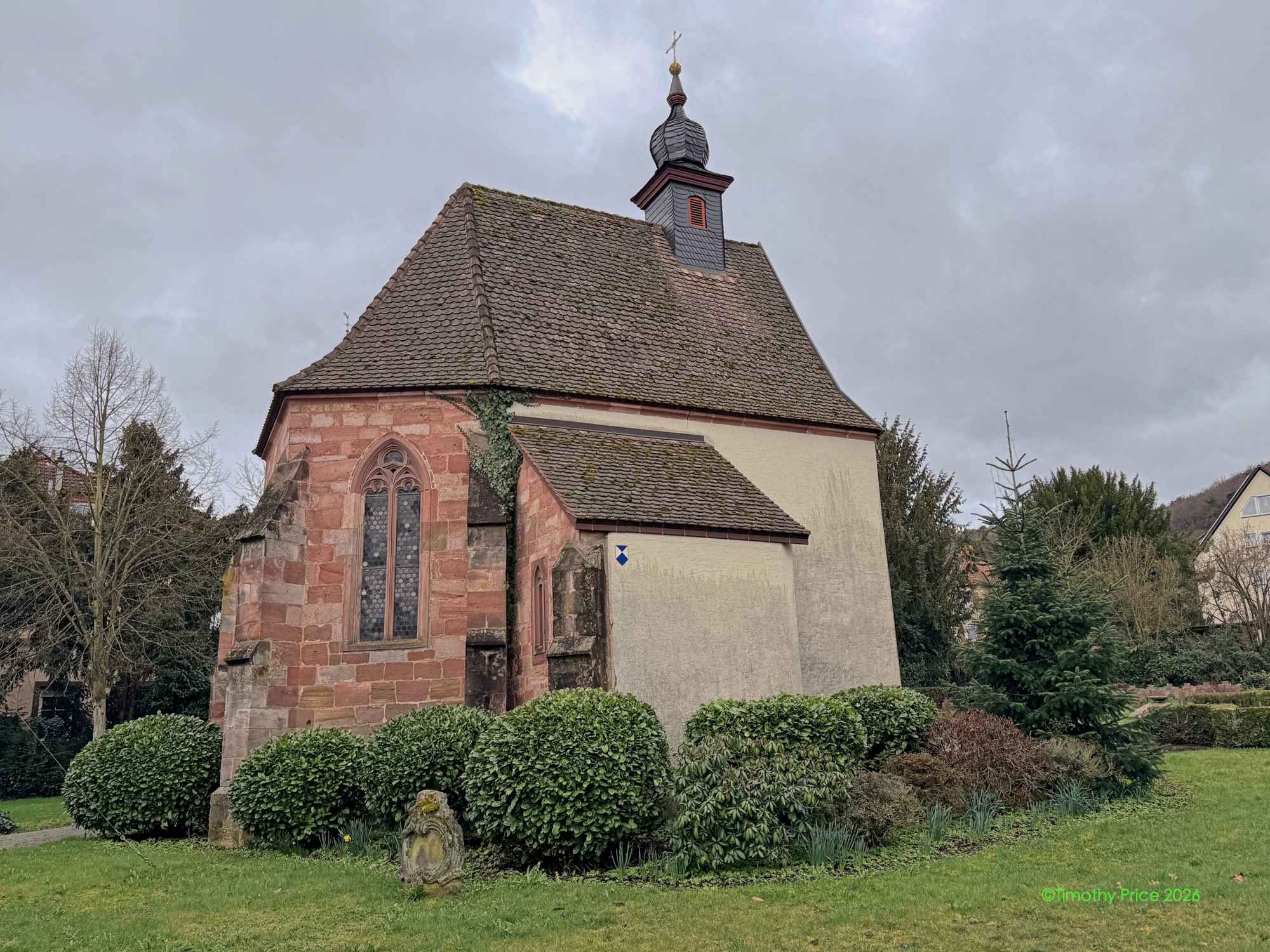
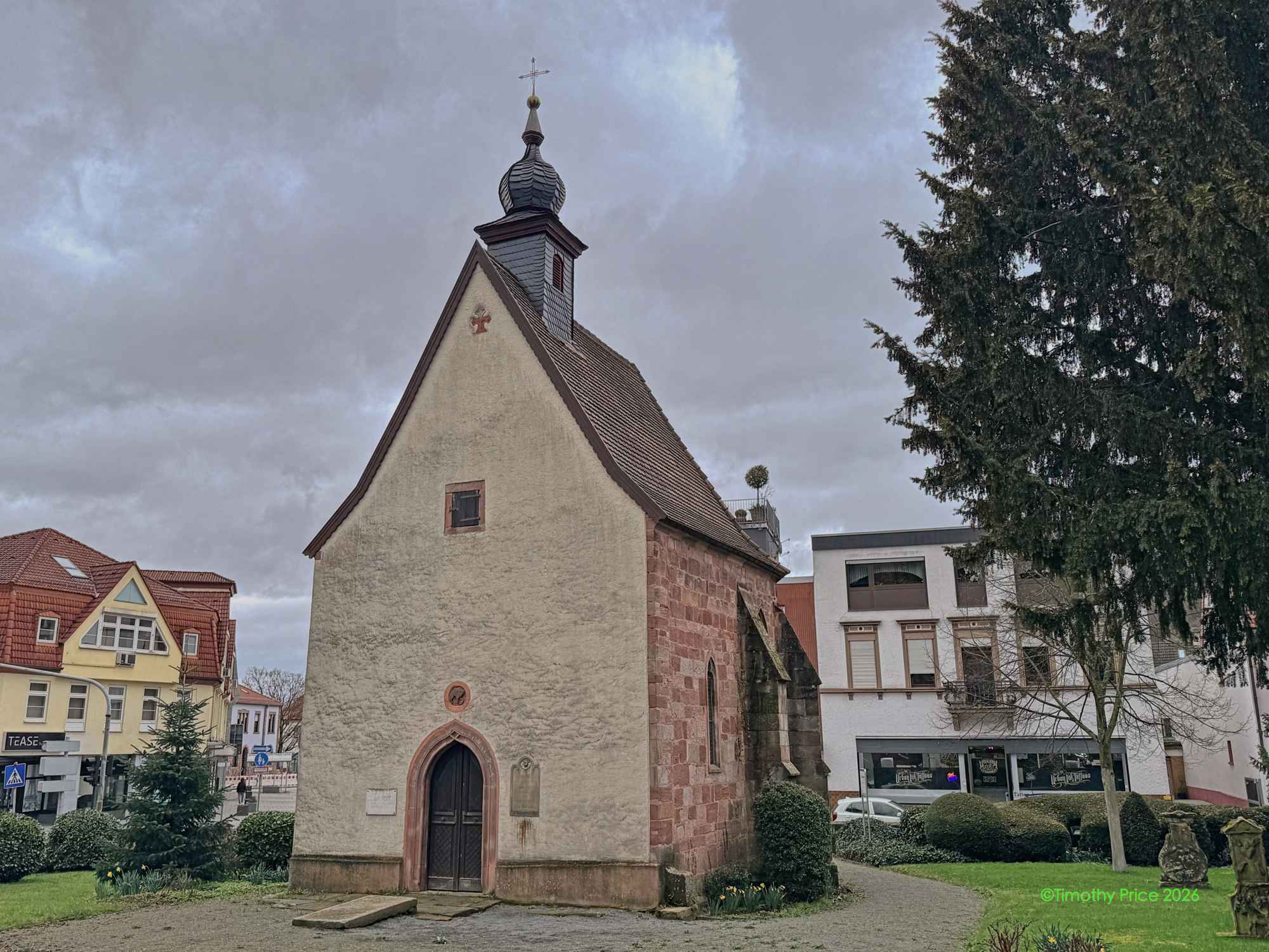
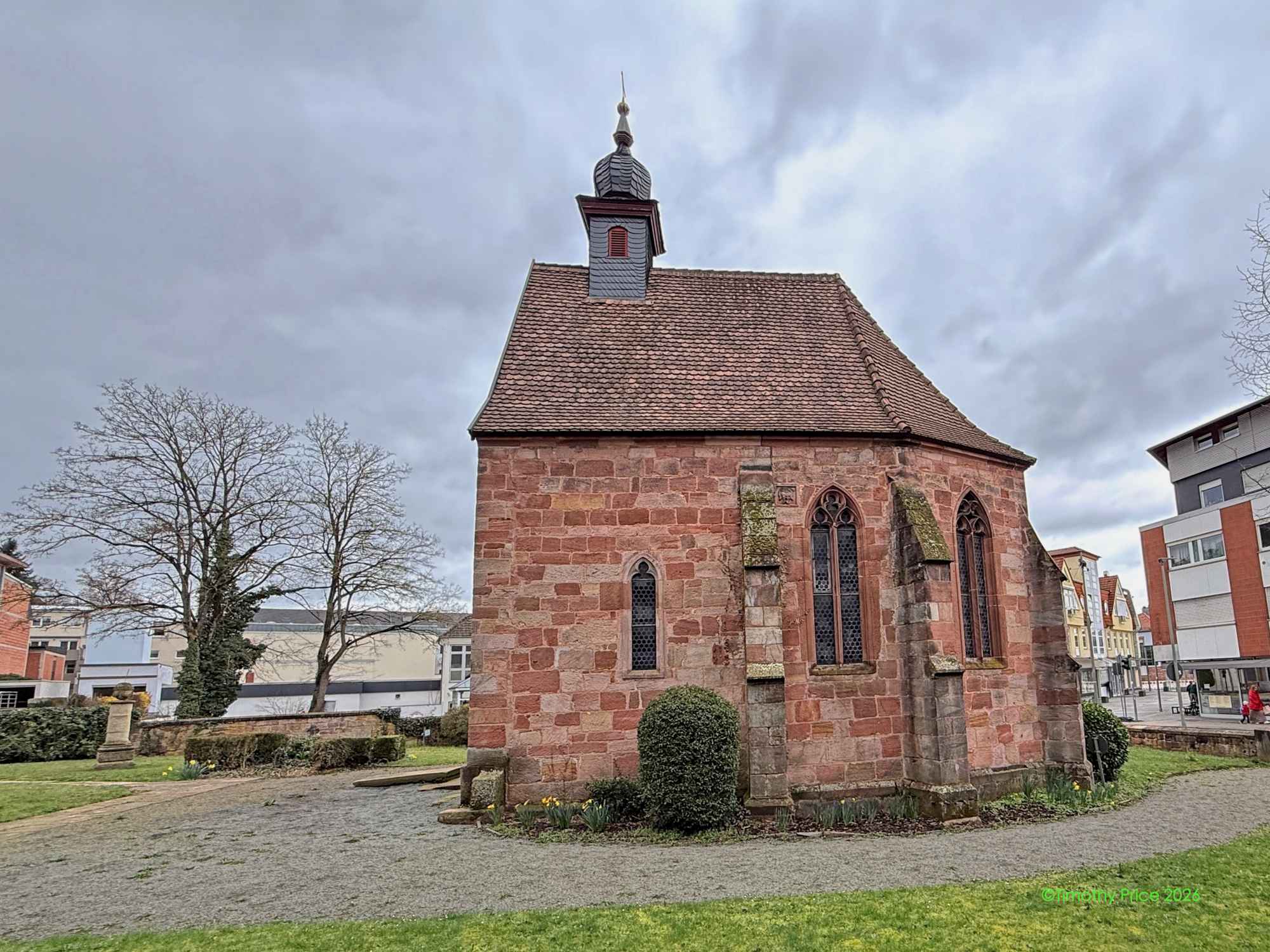
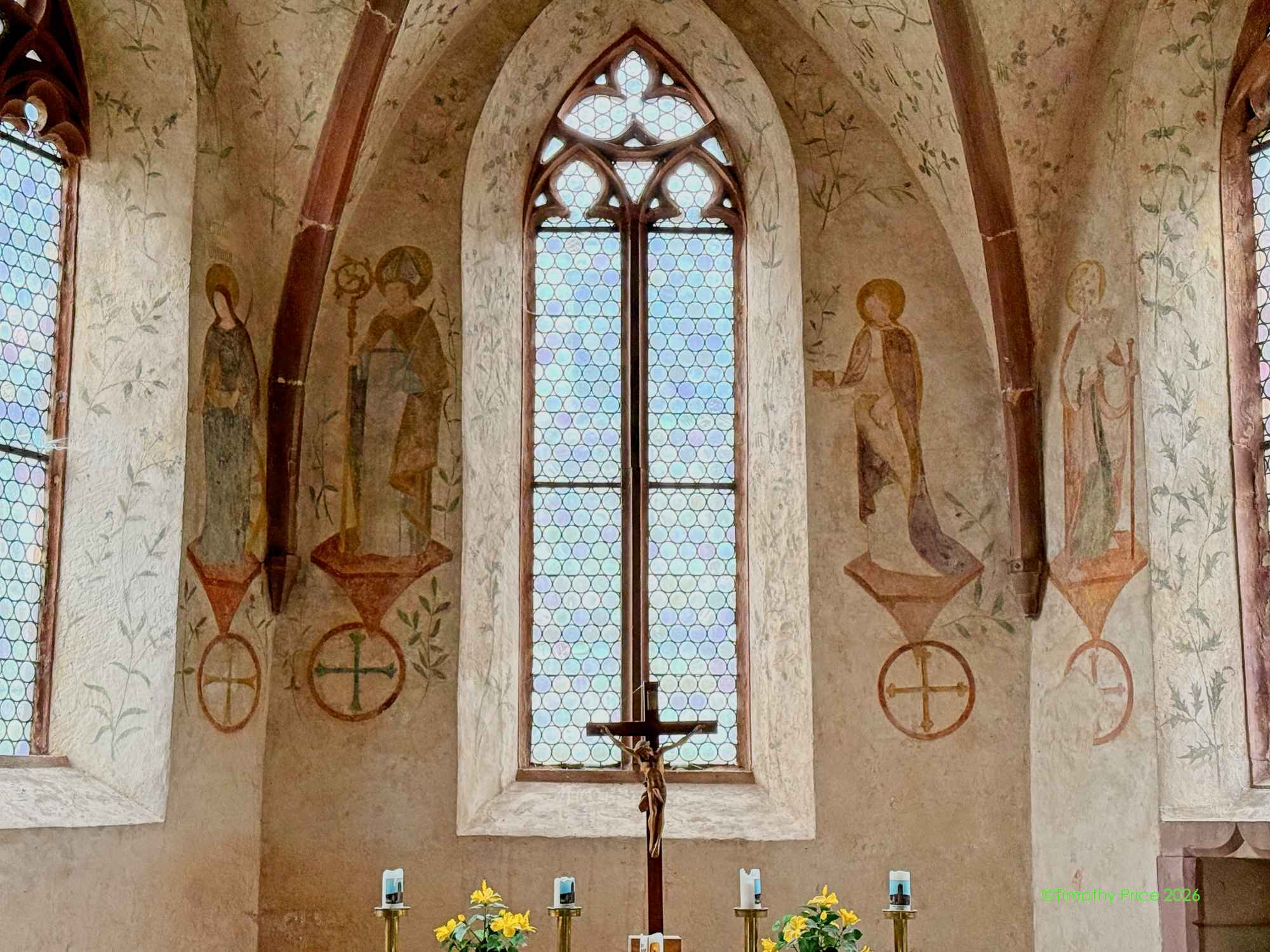
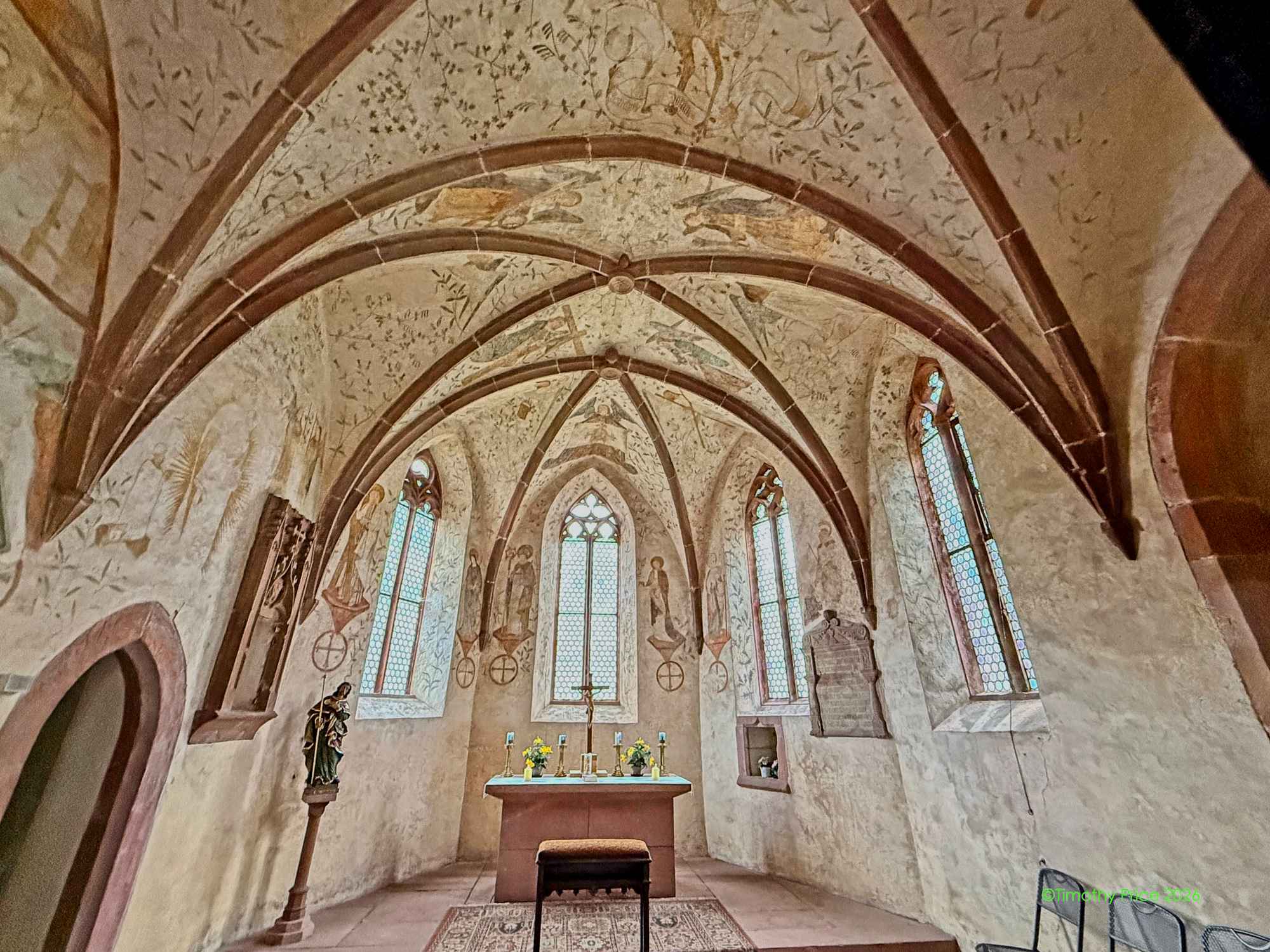
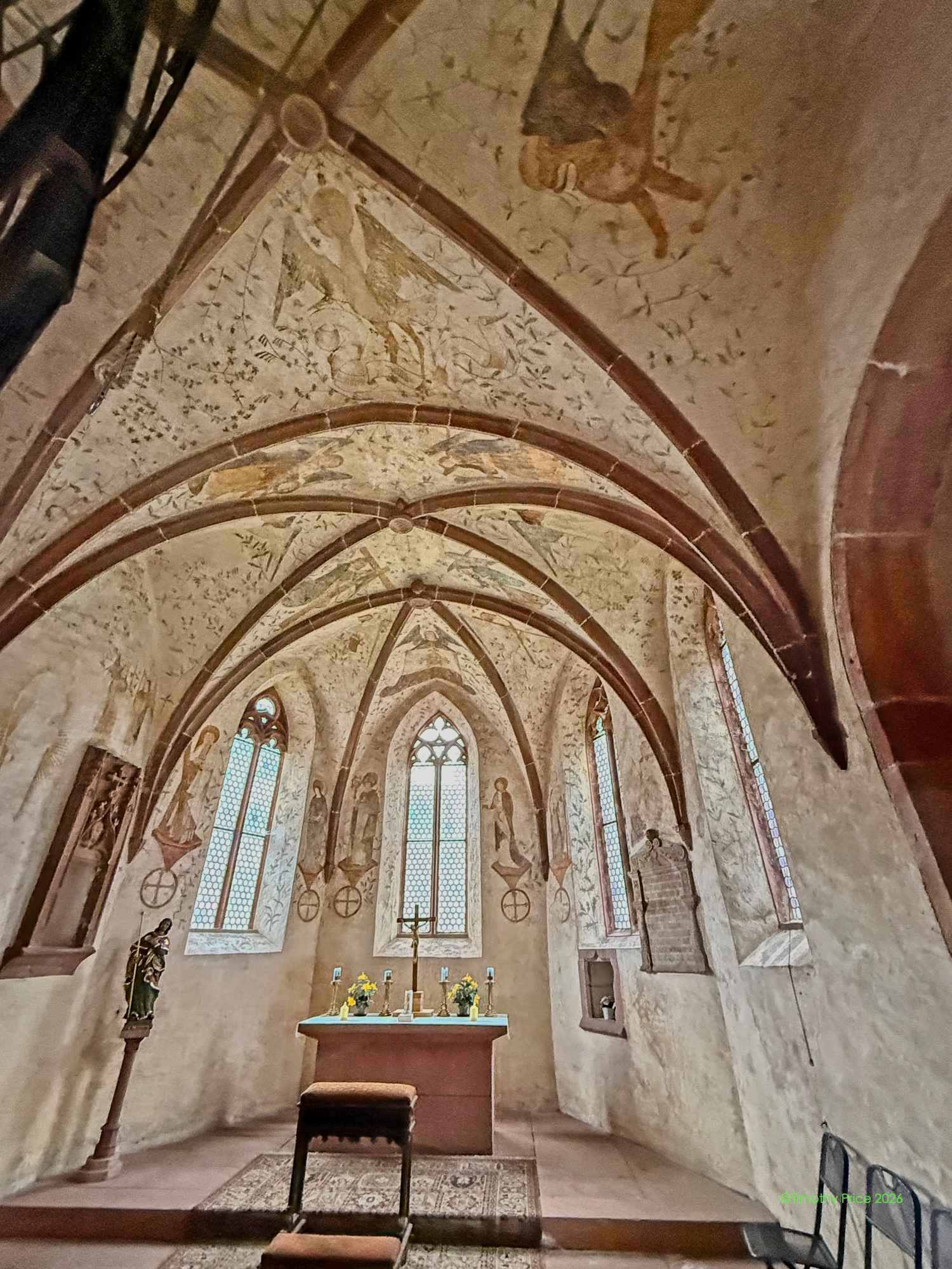
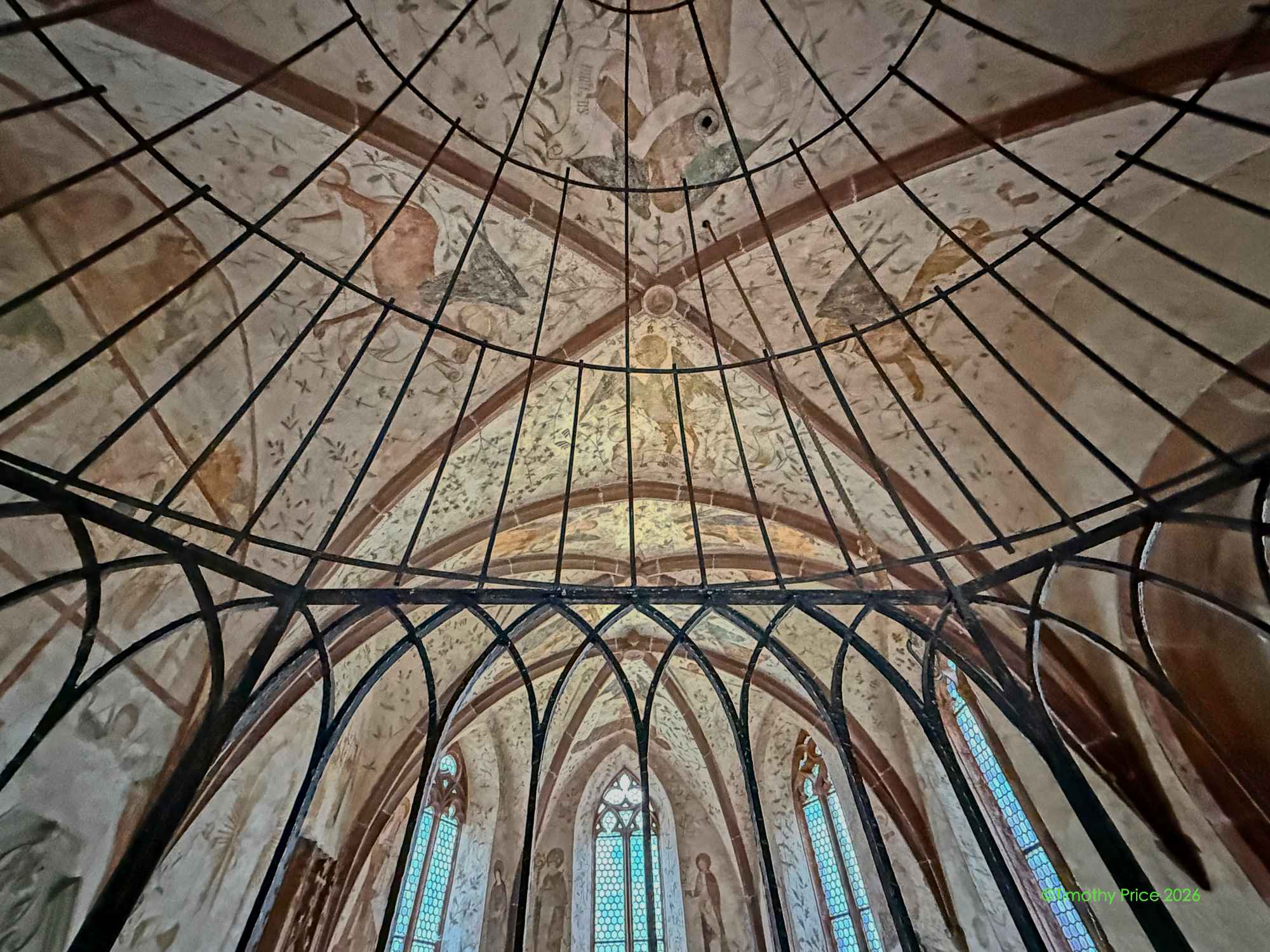
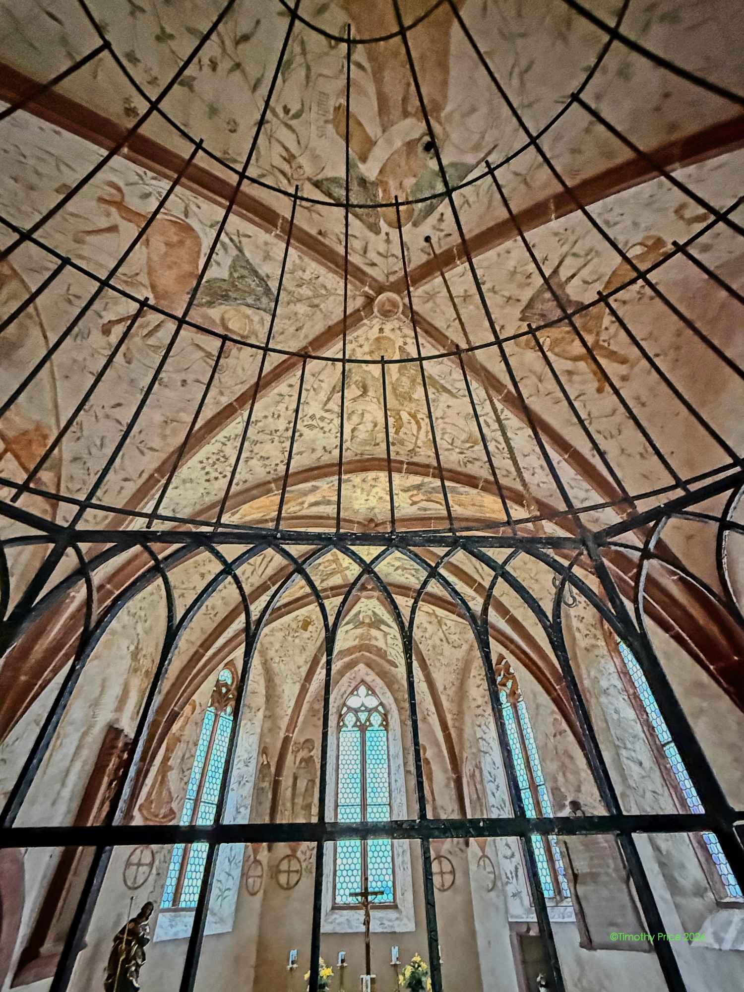
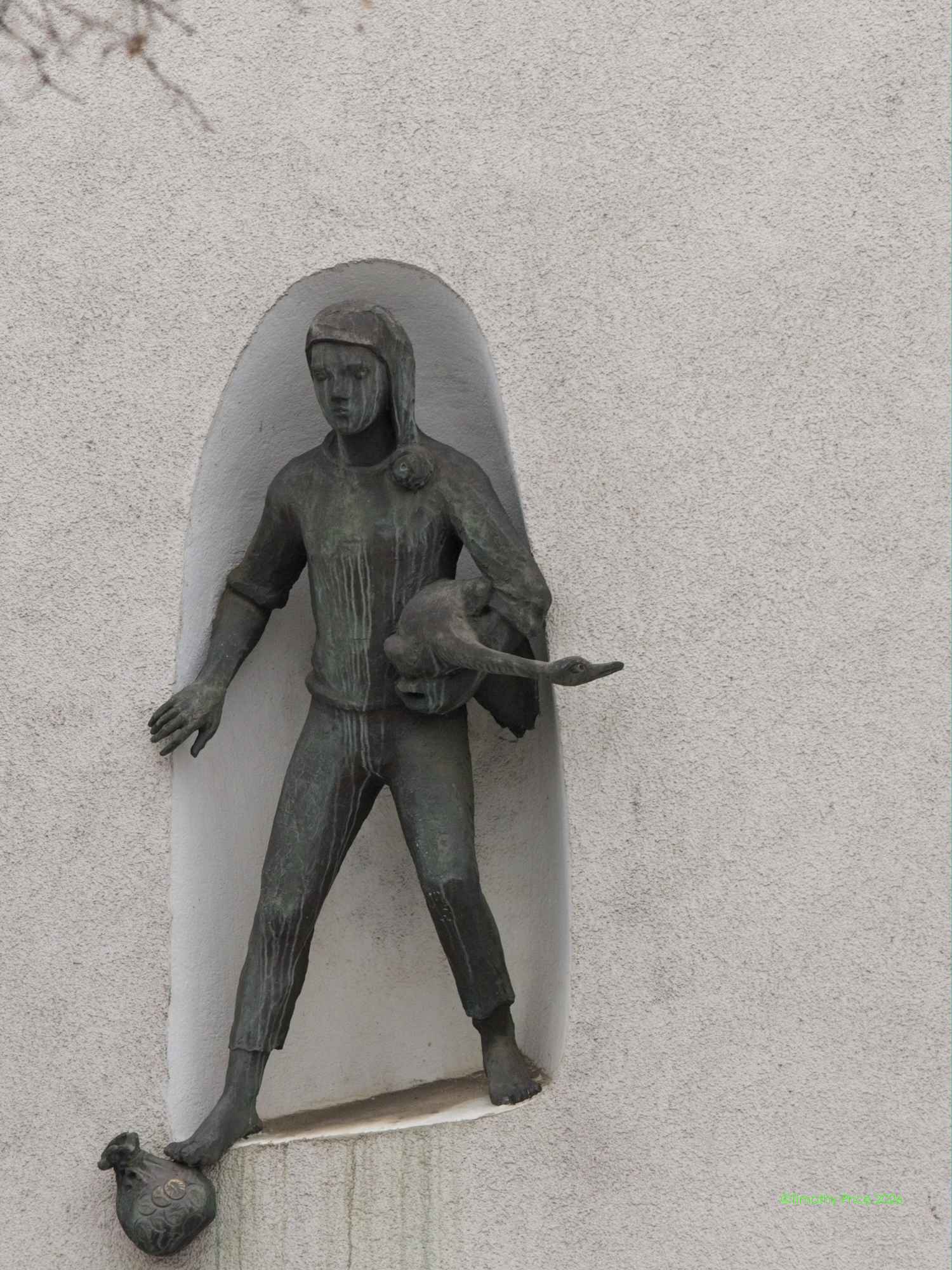
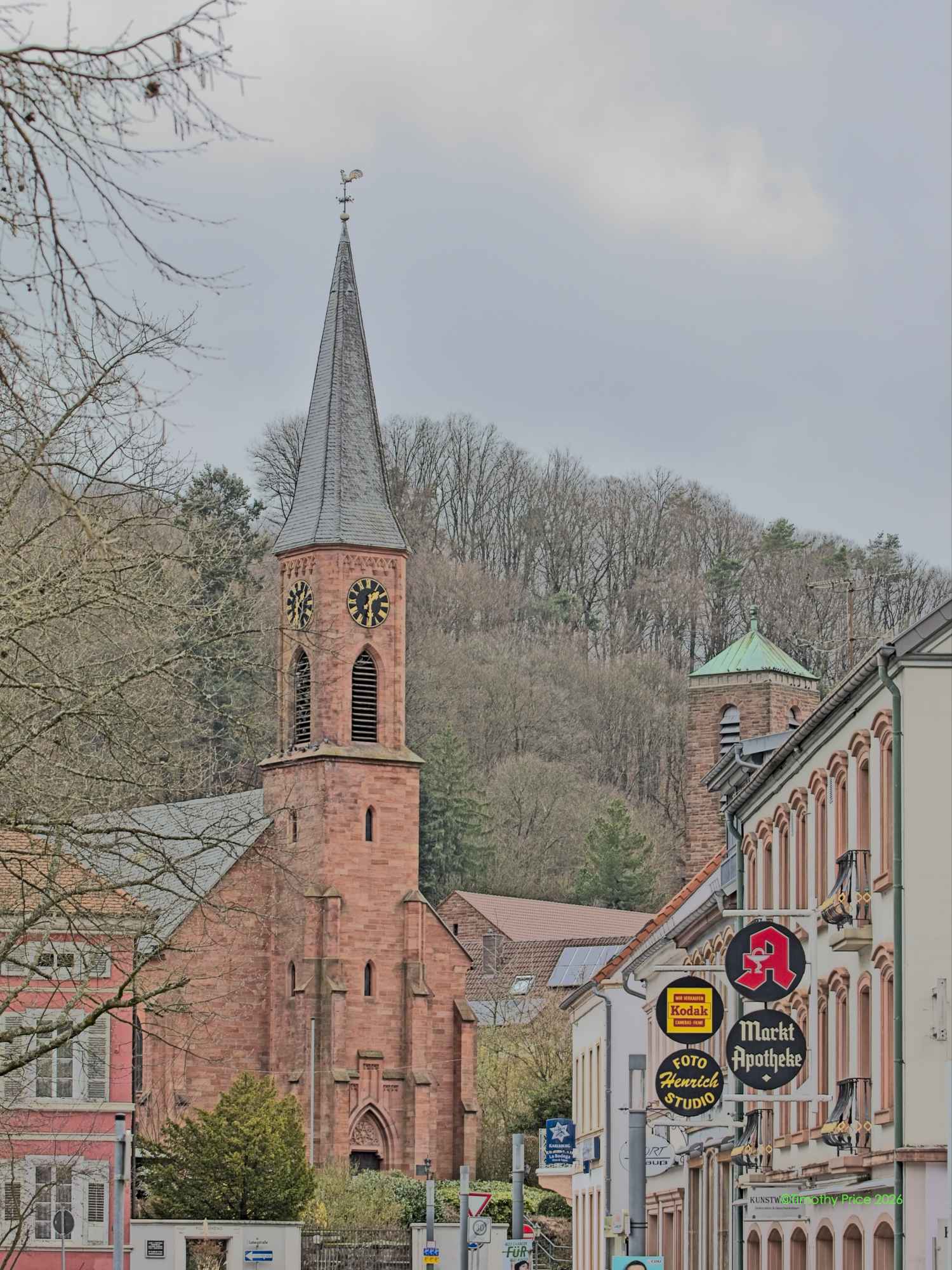
The Basilica of St. Wendelin
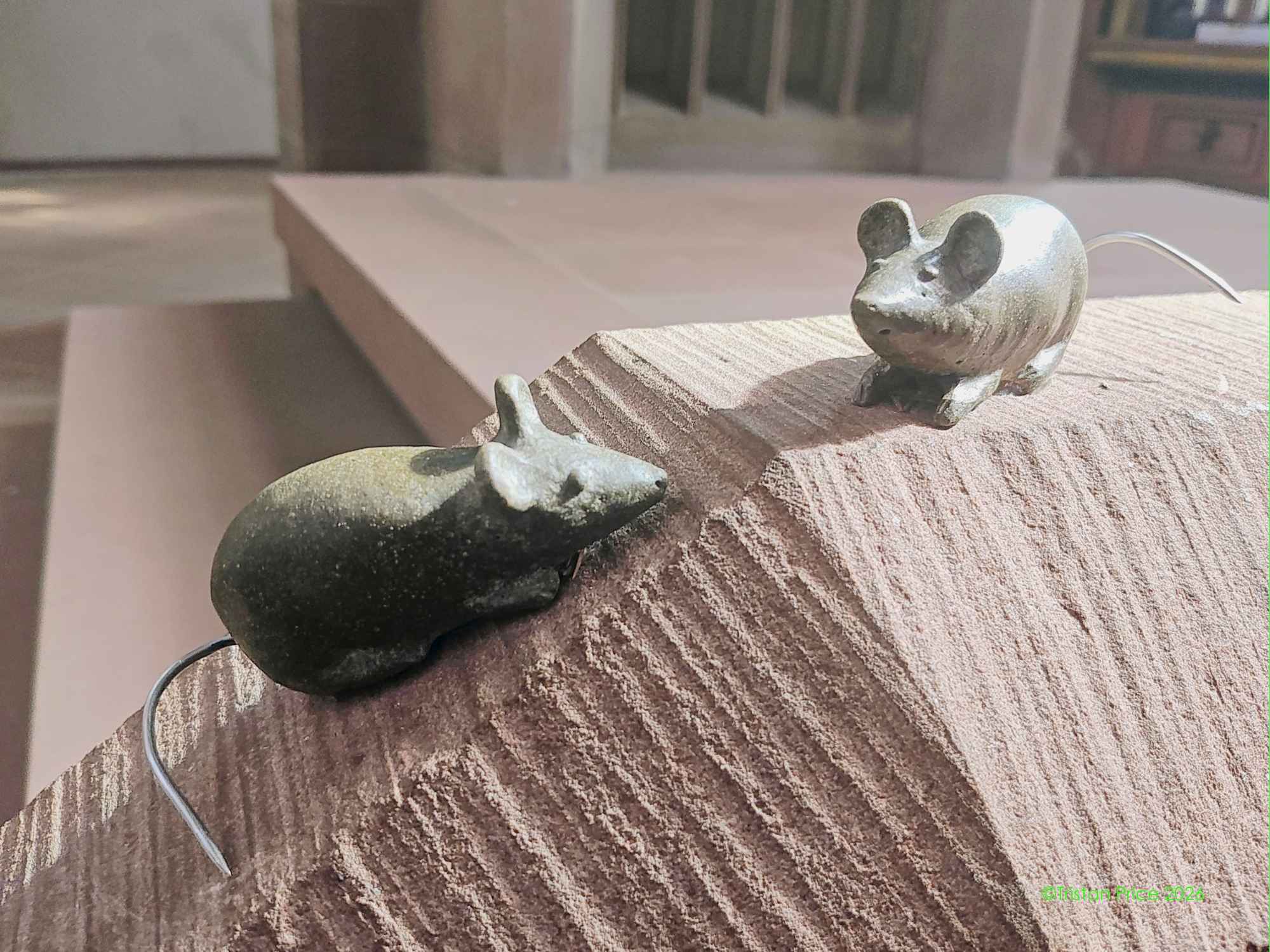
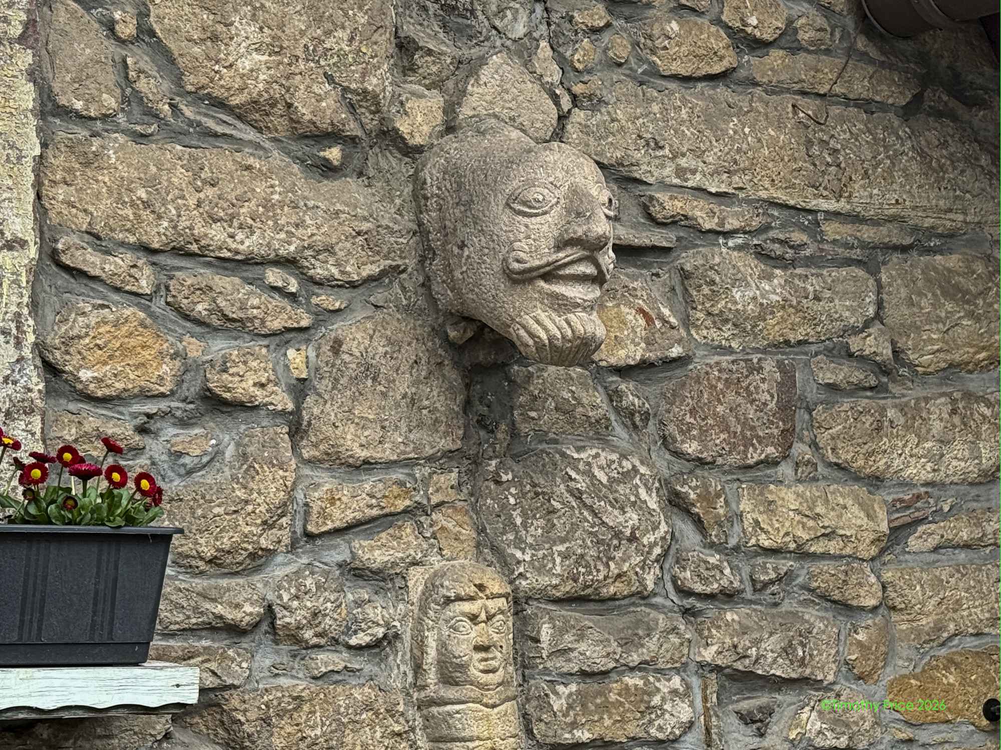
I missed the mice in at the alter of the church, but, fortunately, Tristan got them.
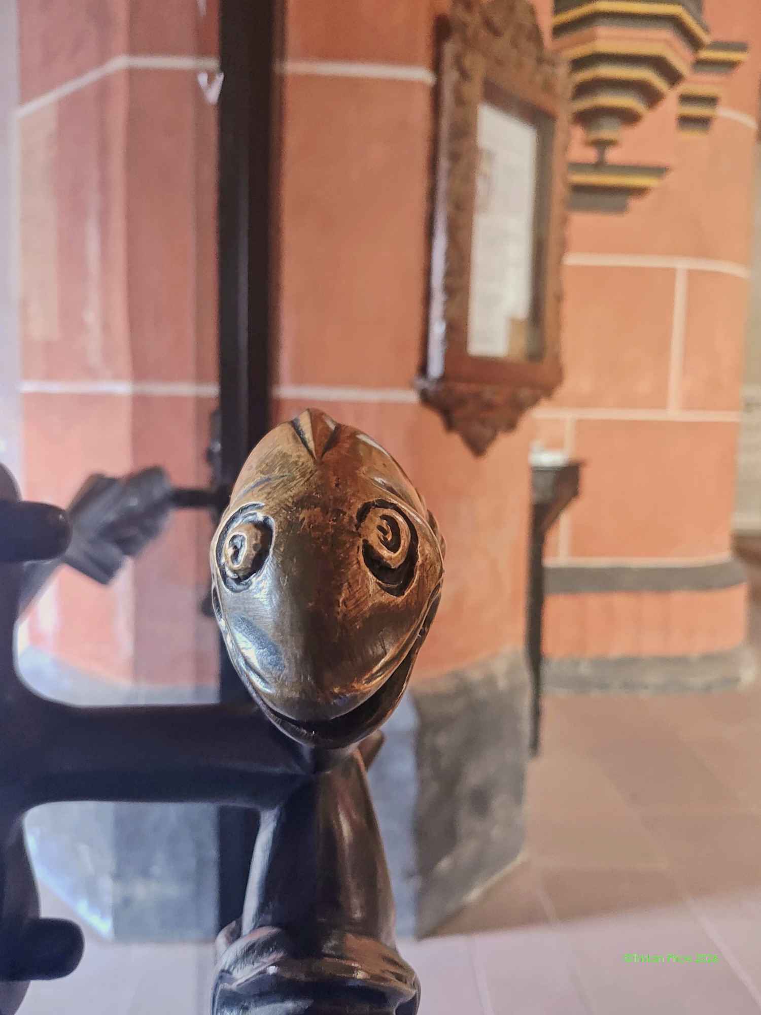
She also noticed a fishy doorknob.
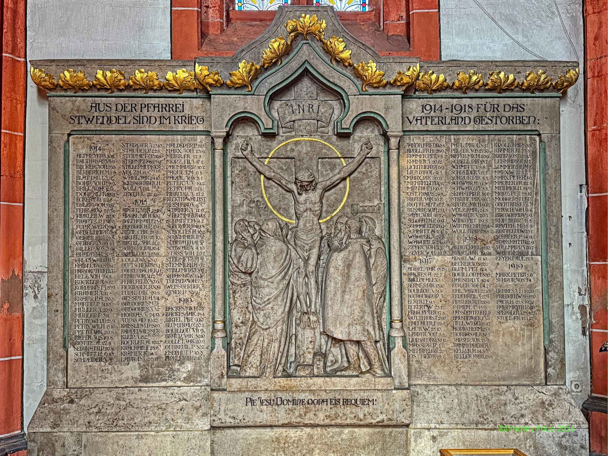
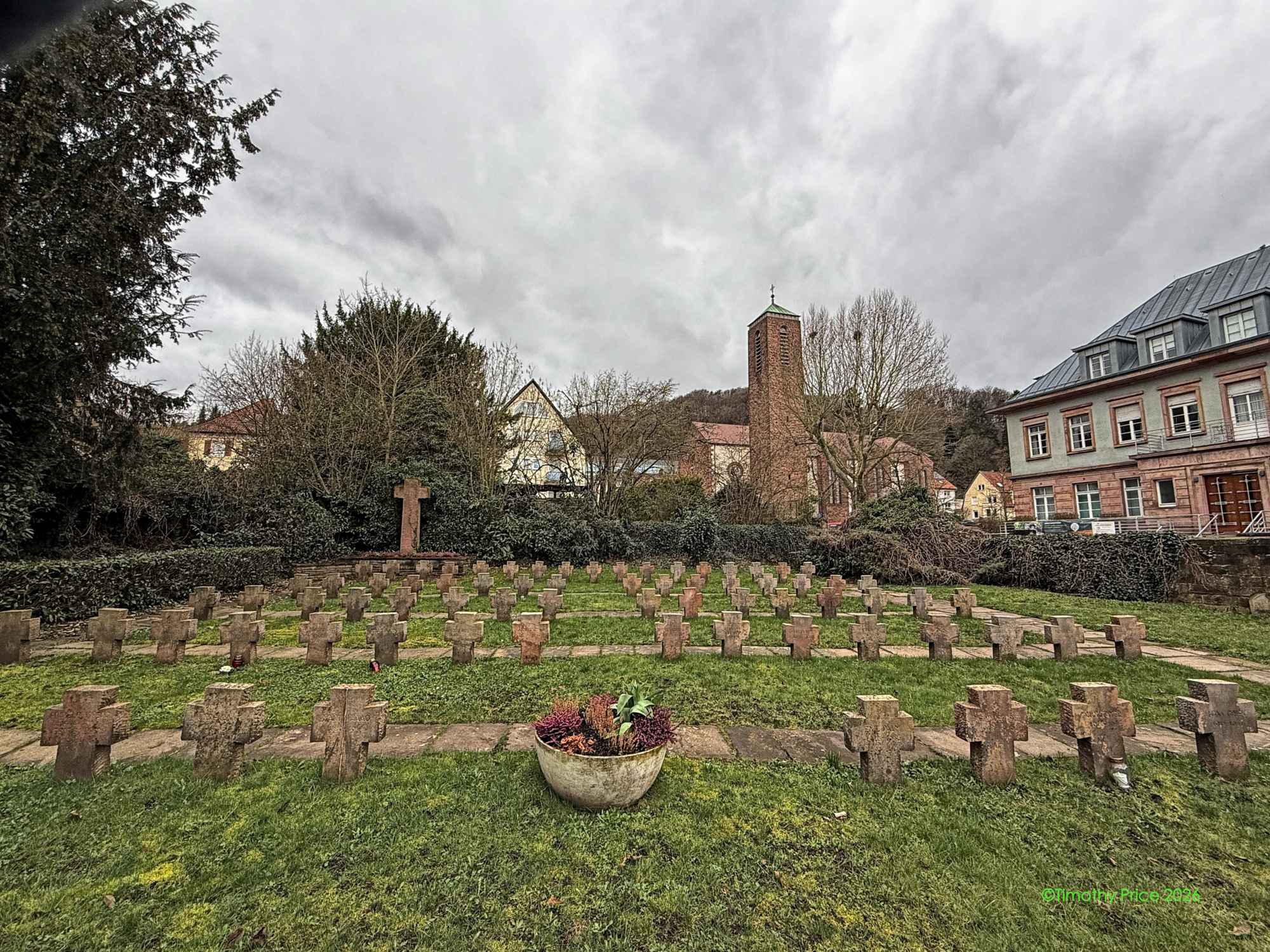
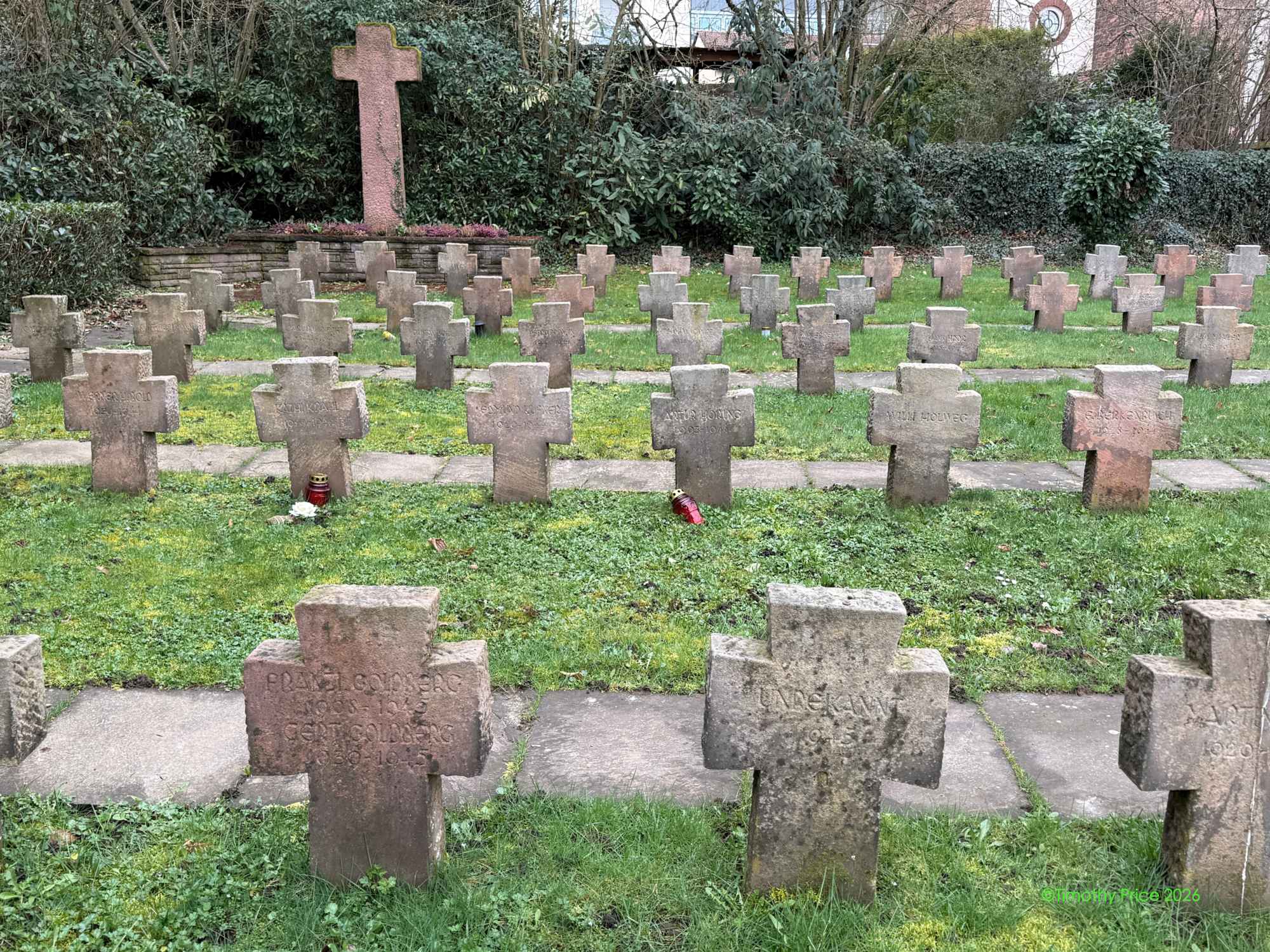
WWI memorial
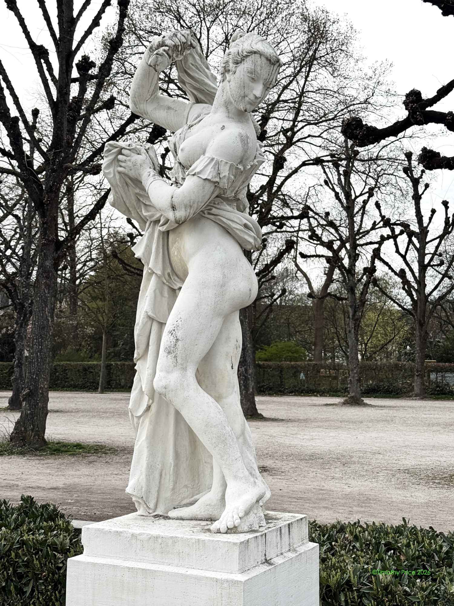
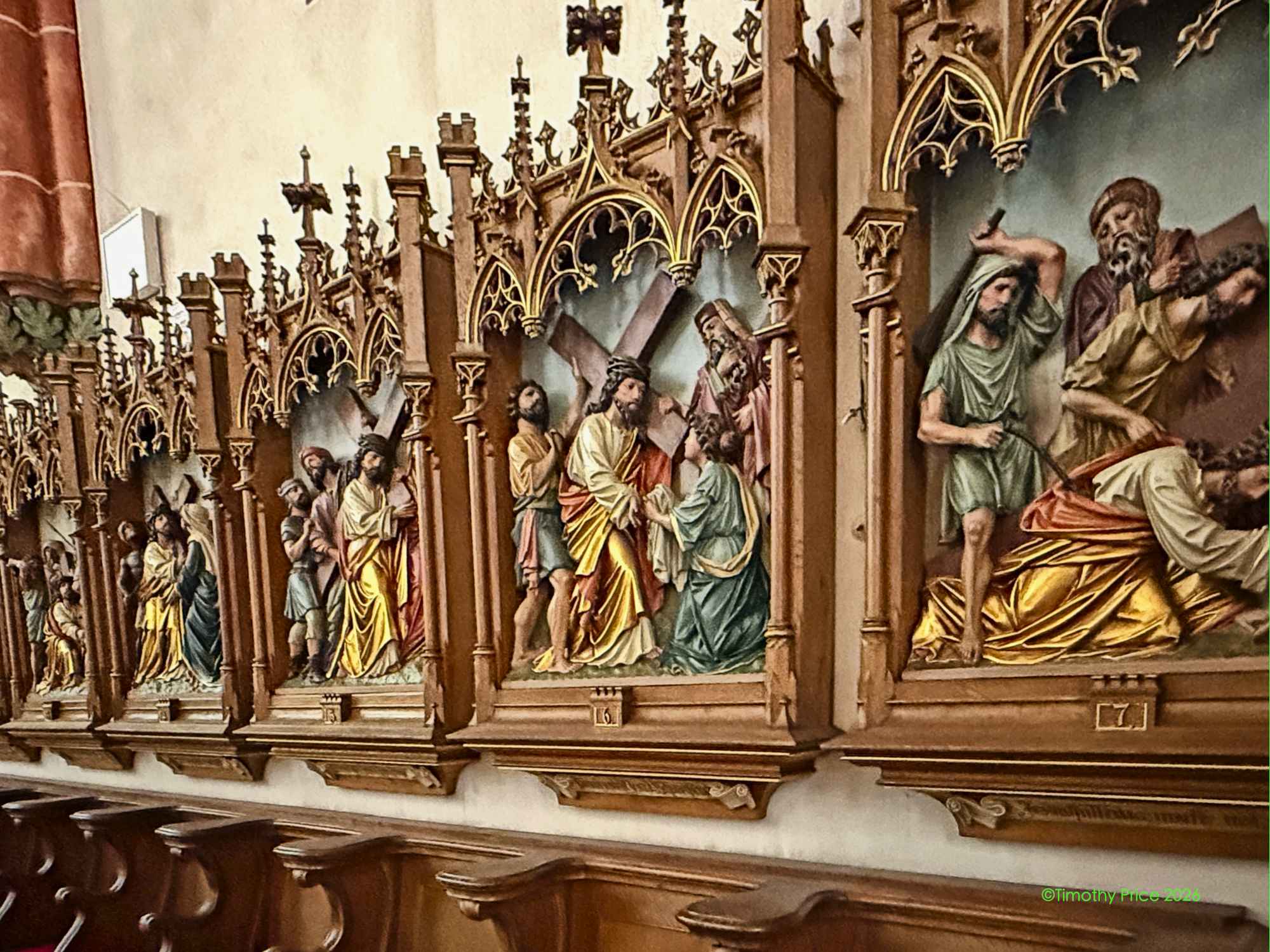
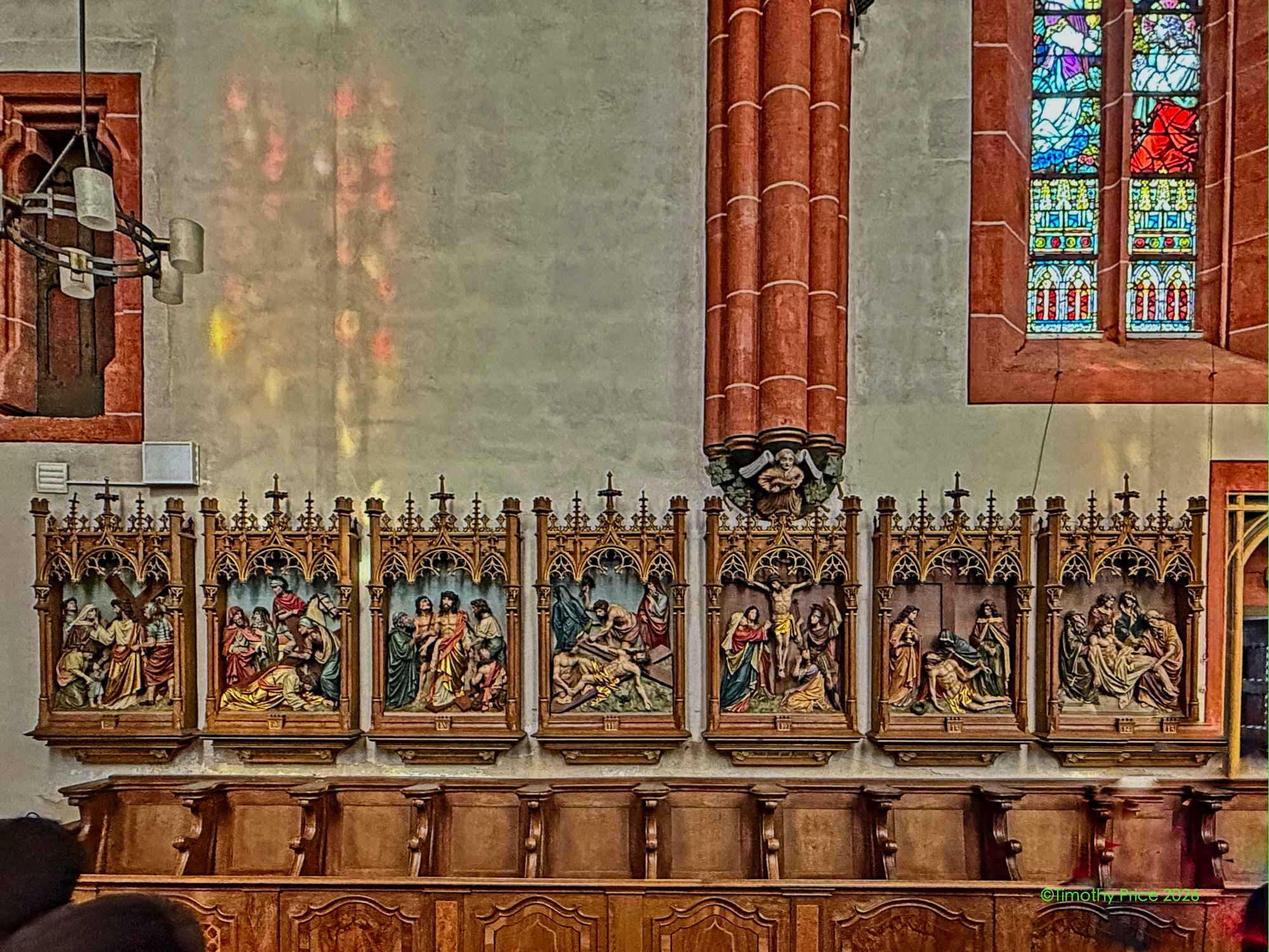
Stations of the Cross
The City Council building seems appropriately named.
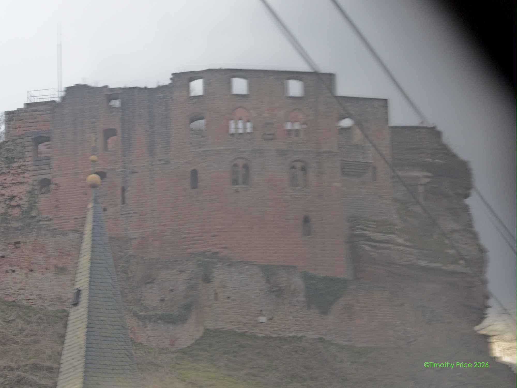
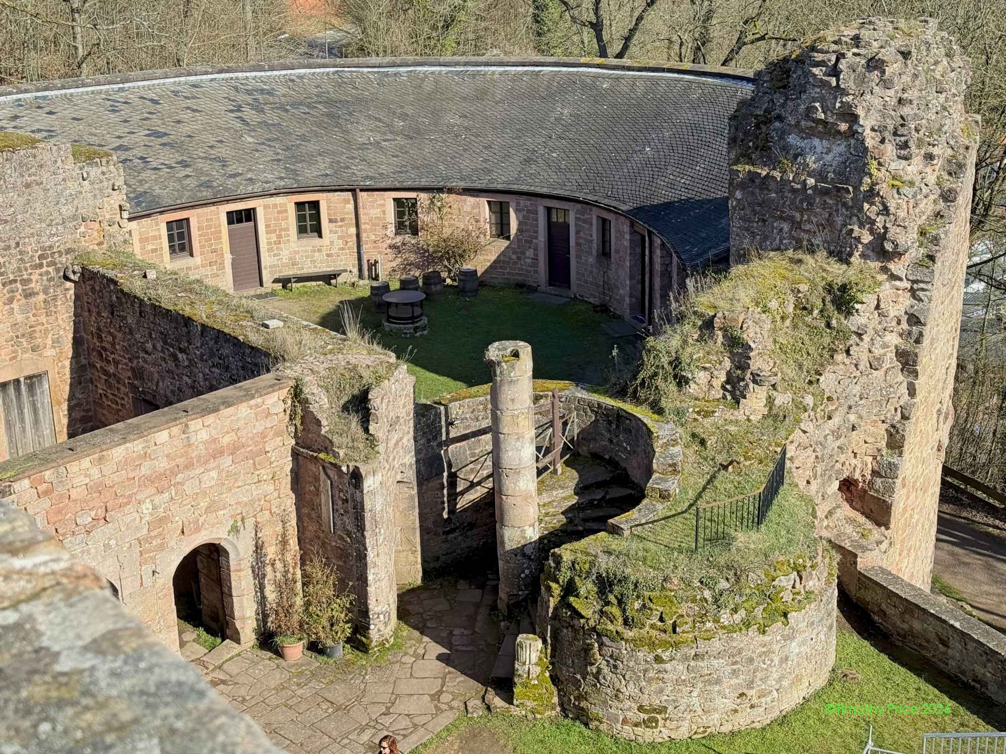
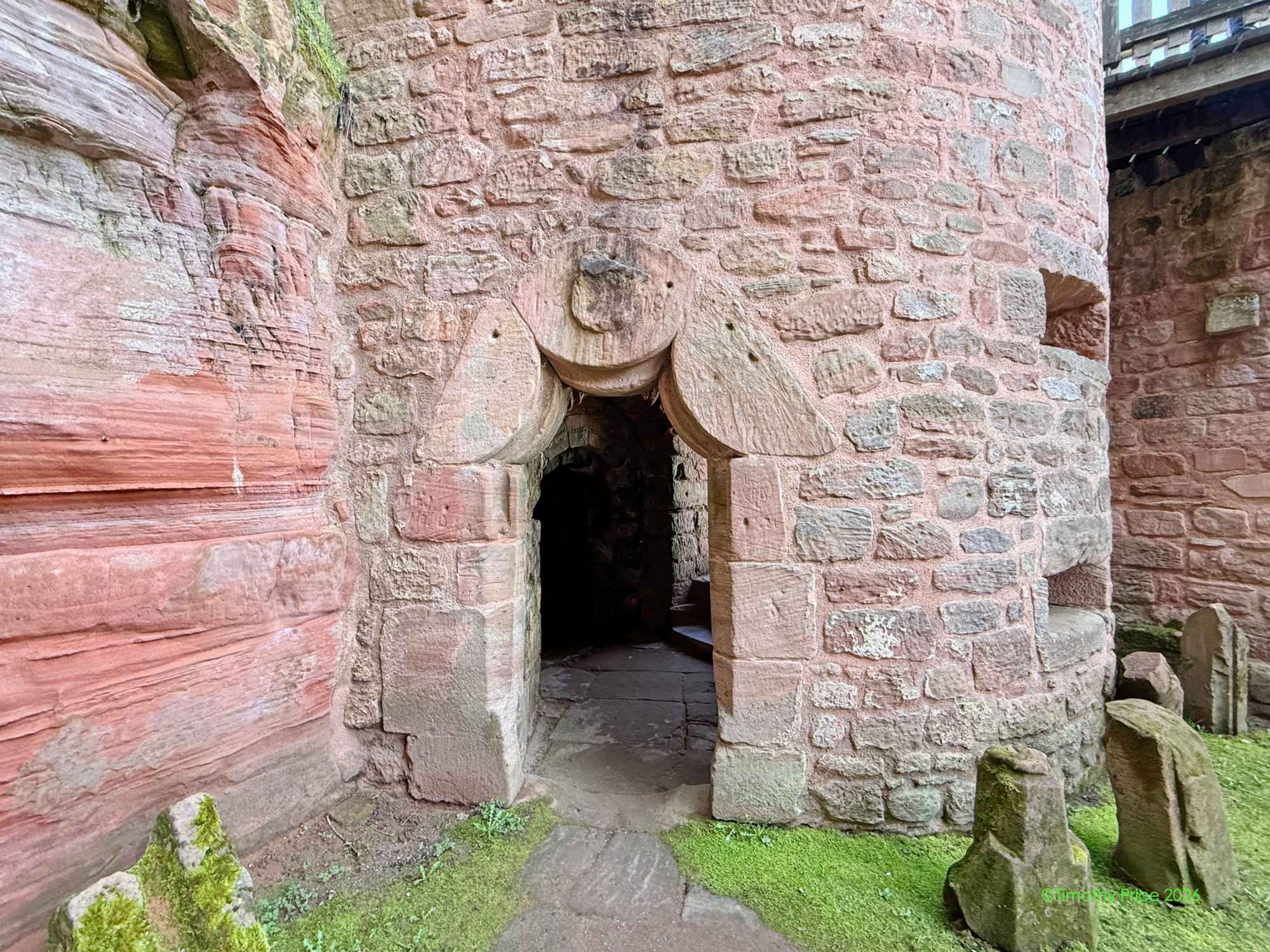
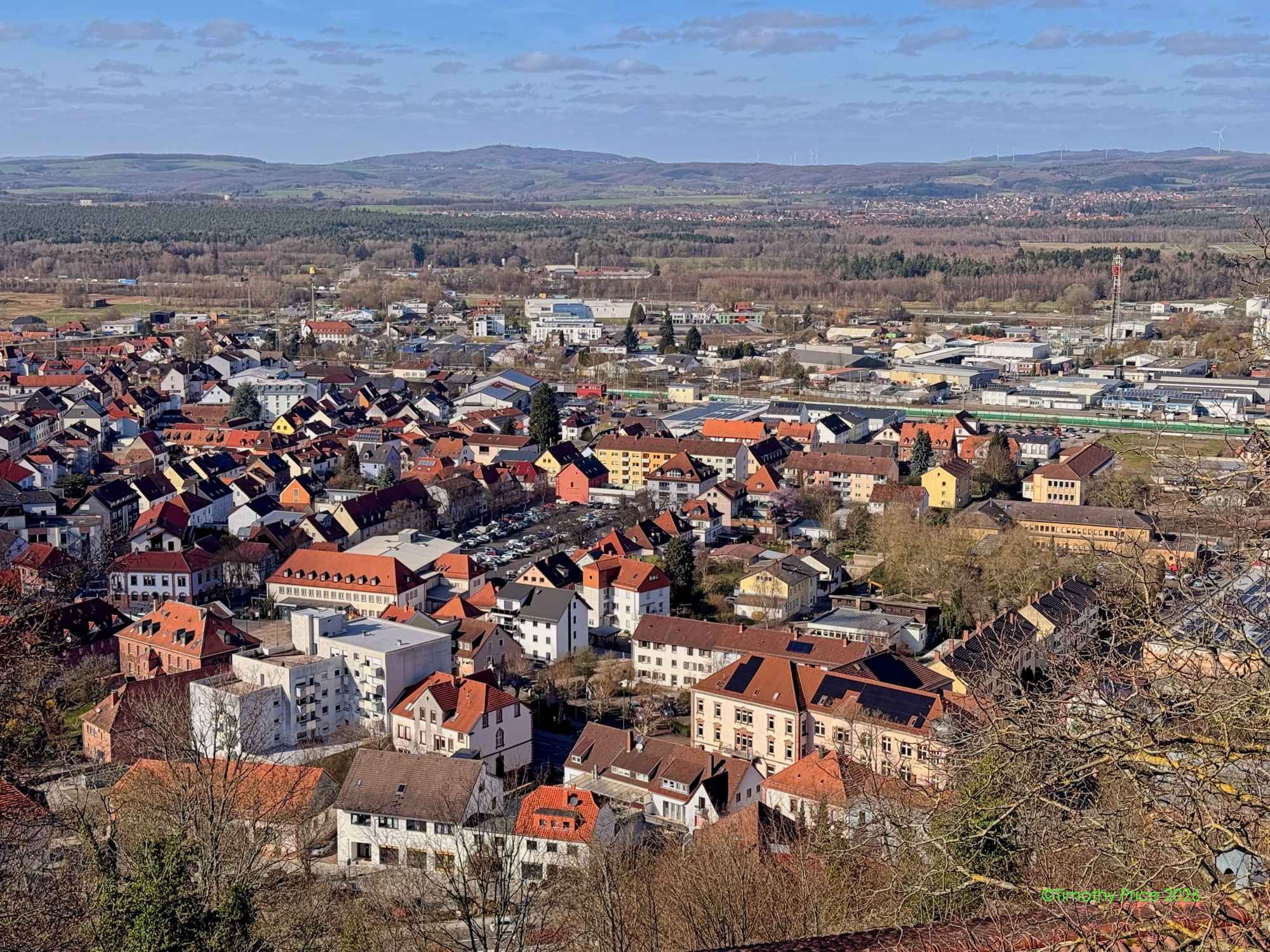
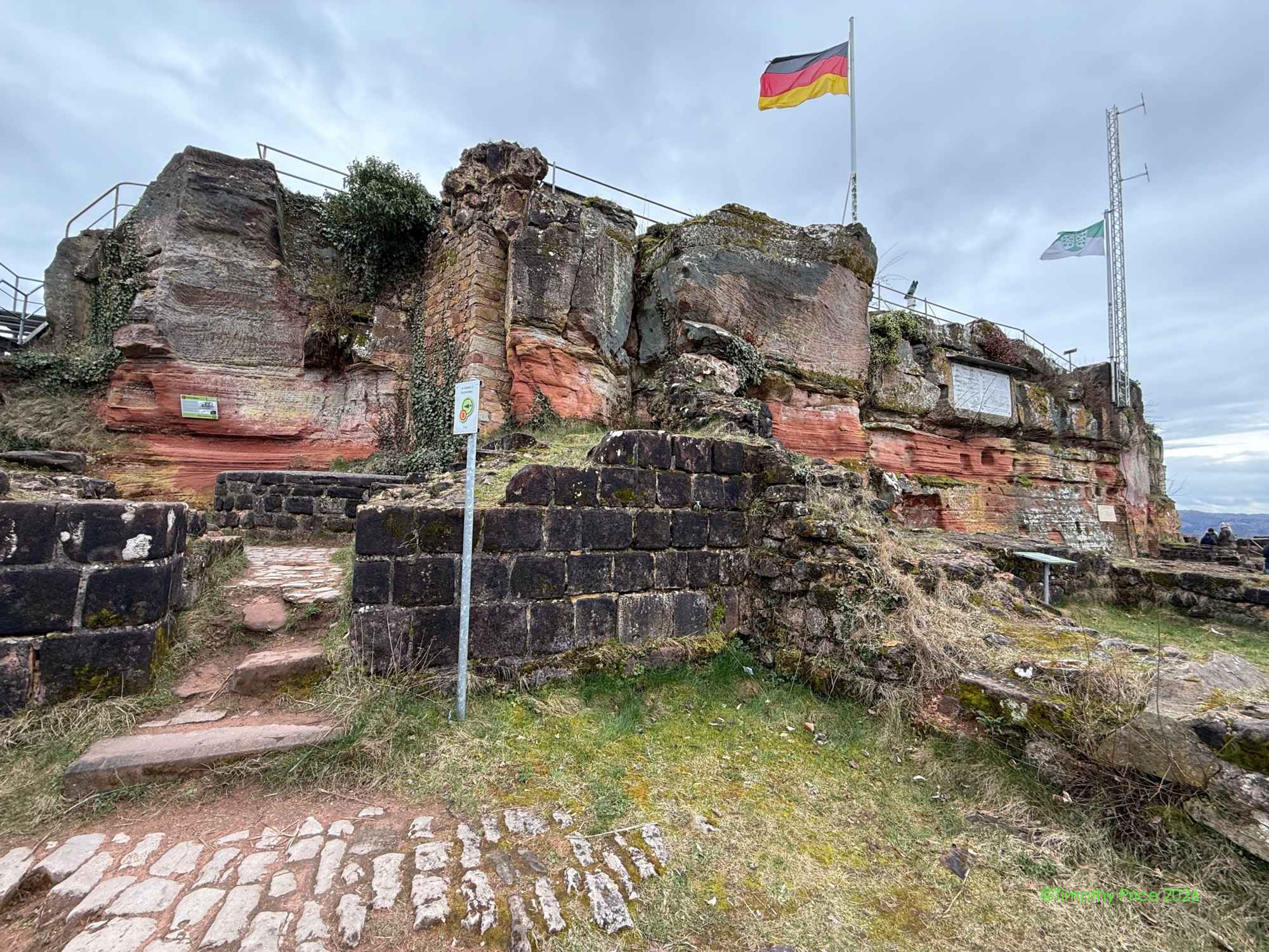
…looking over Landstuhl from the Schlossruine Nanstein Castle
Landstuhl
Atlas thinks the chapel is cool, also!
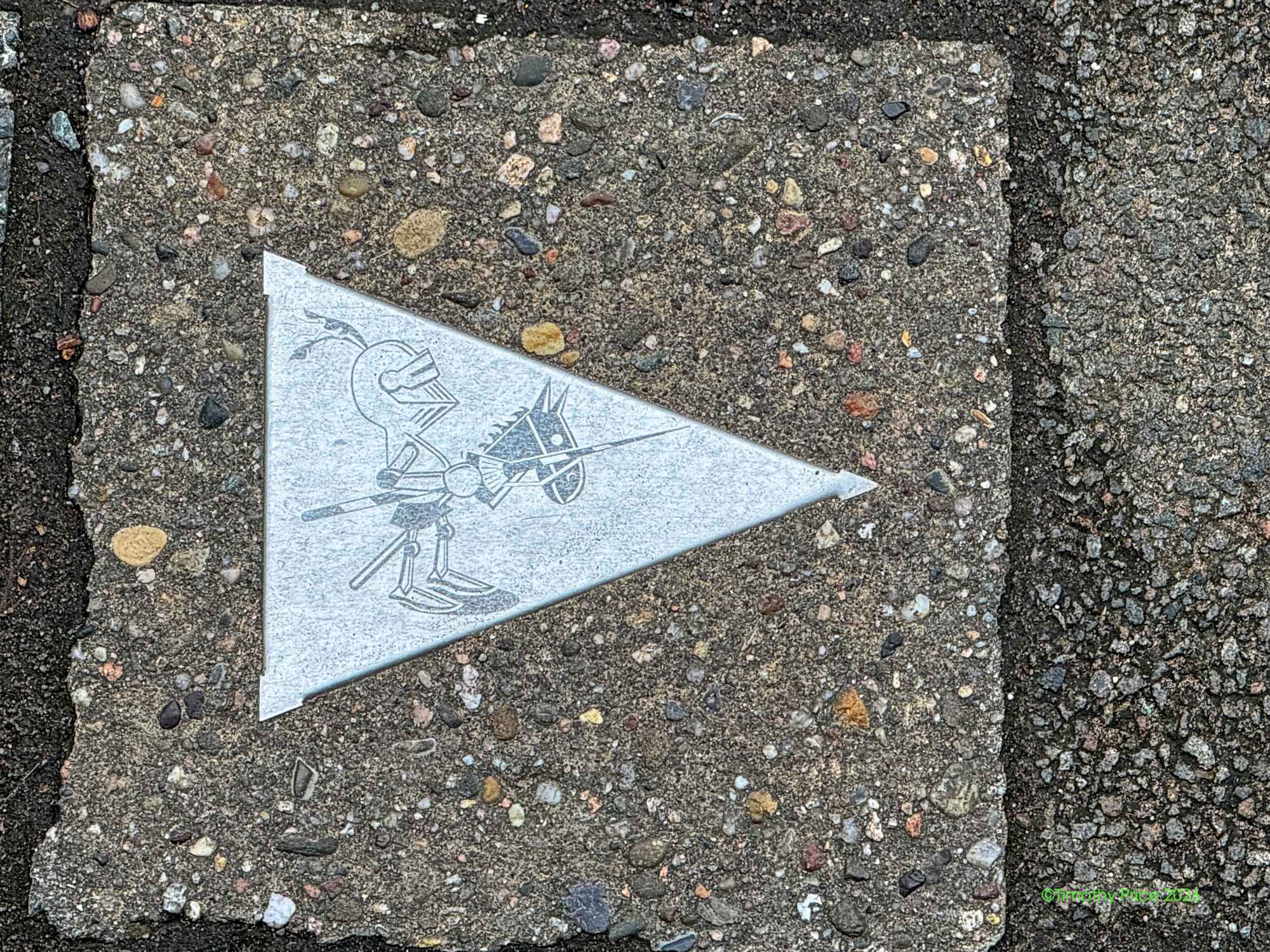
Knight in the pavers
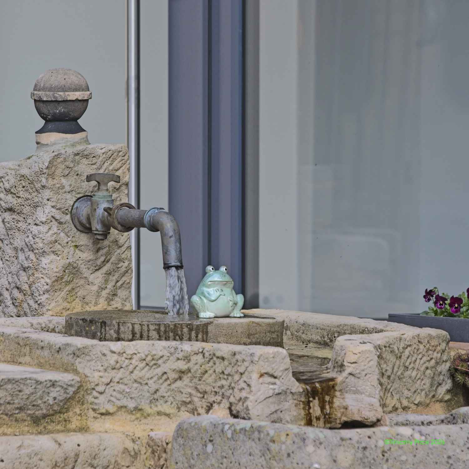
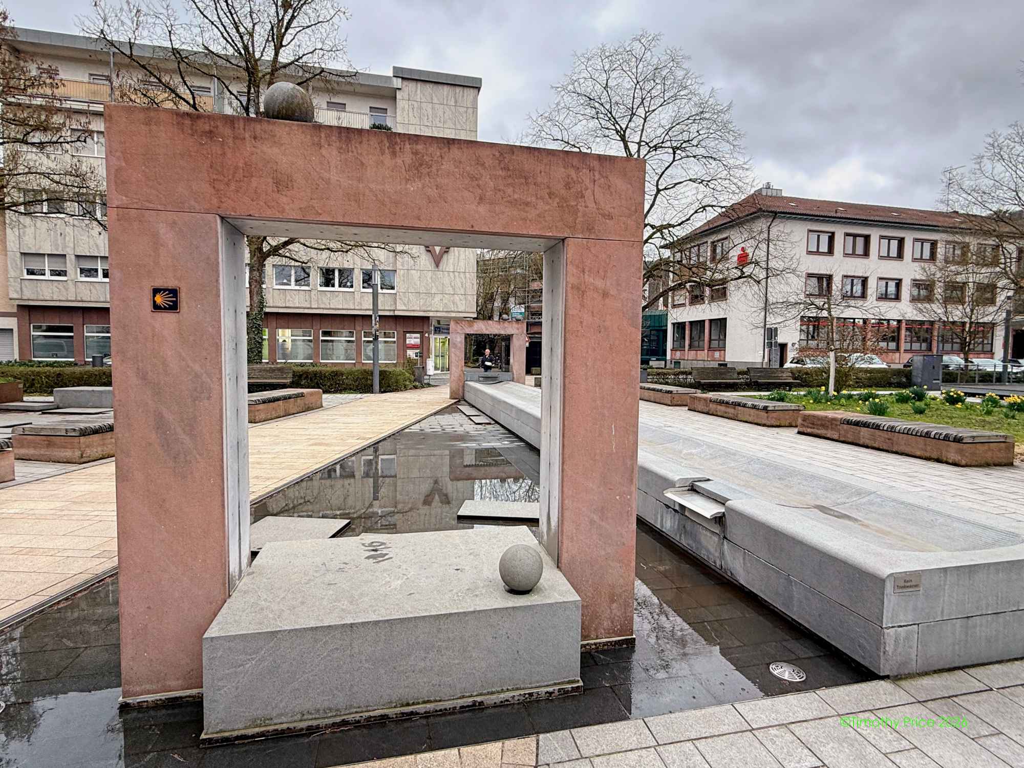
Fountain with a Camino de Santiago symbol
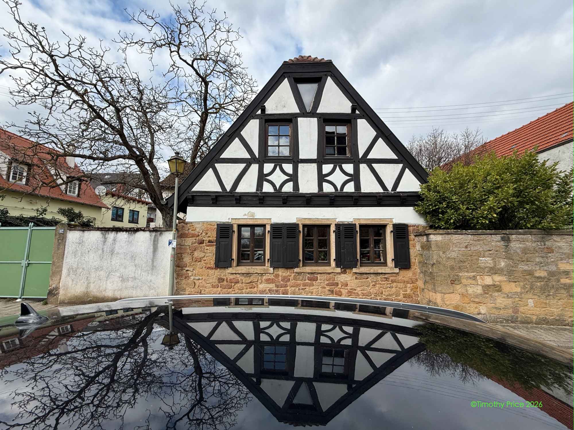
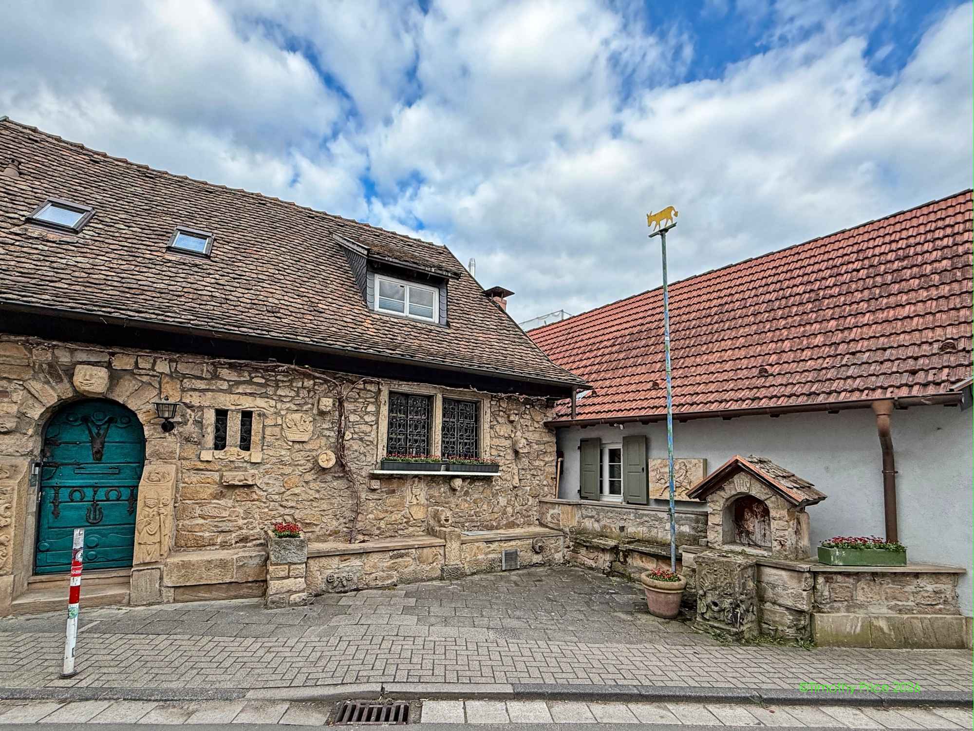
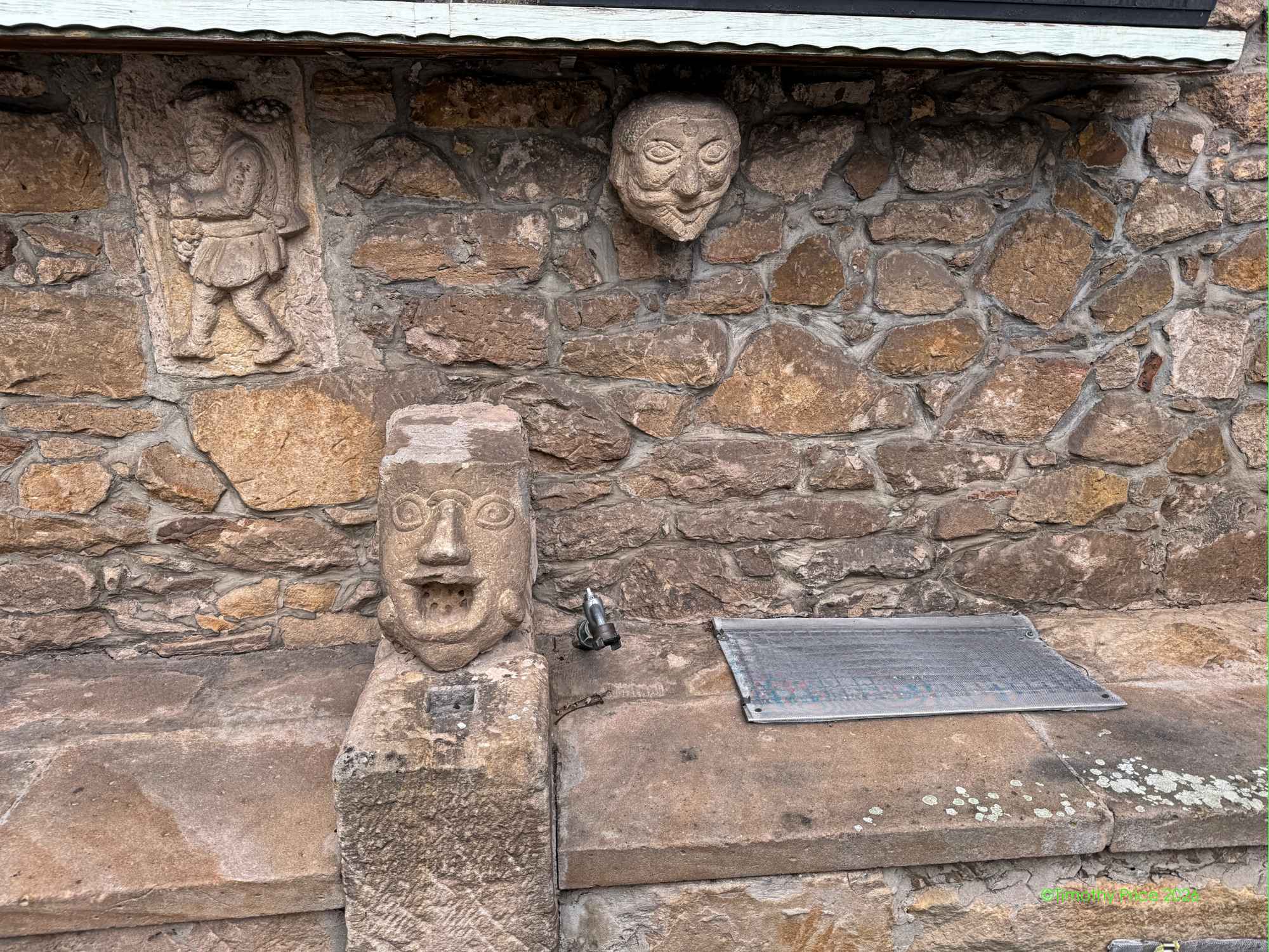
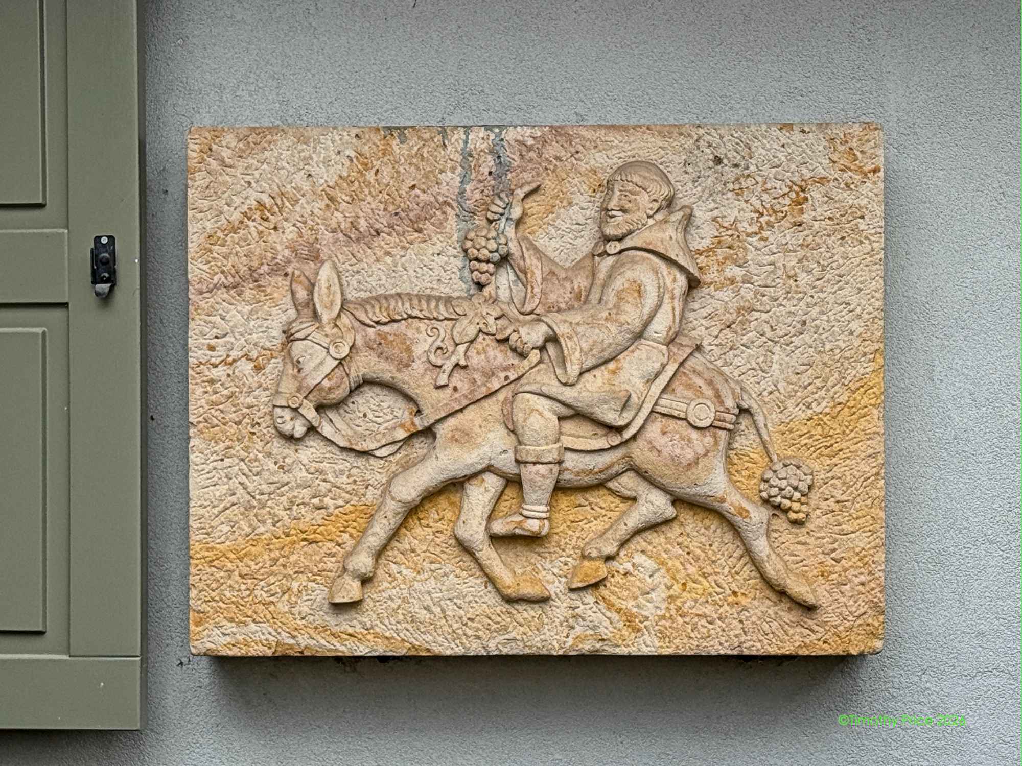
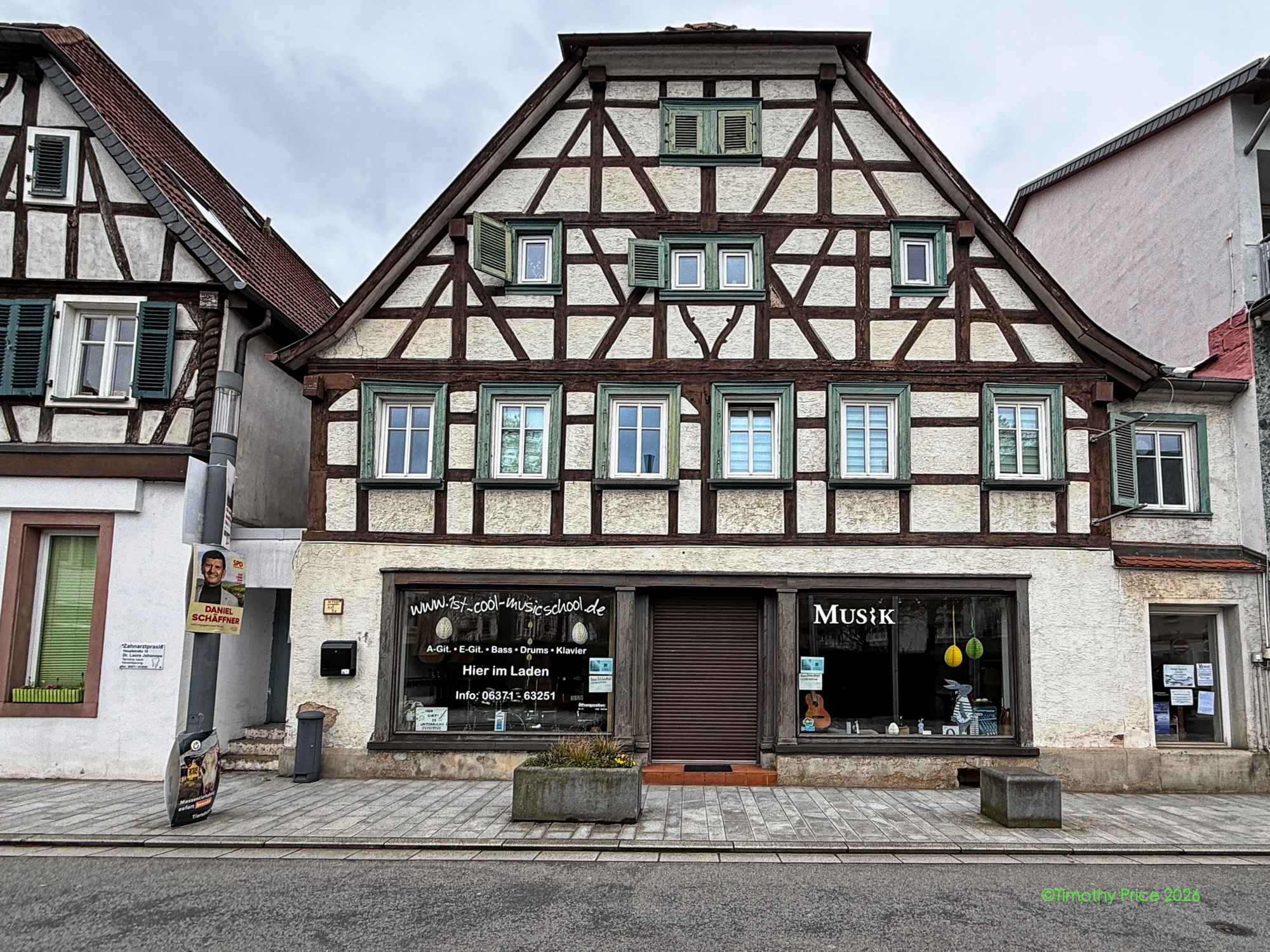
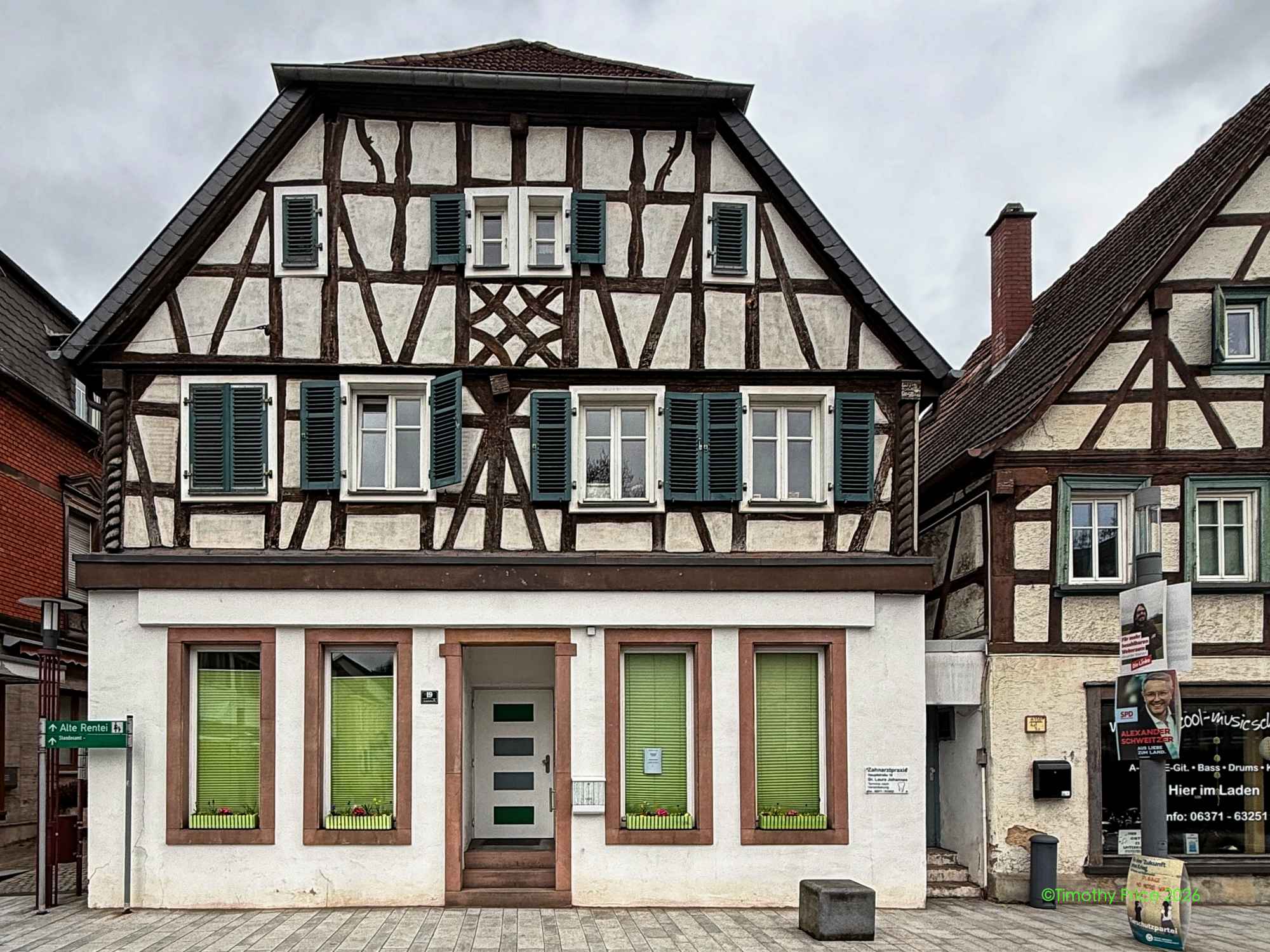
The oldest houses in Landstuhl are from around the 16th century.
Atlas wants to hire the maid on the van.
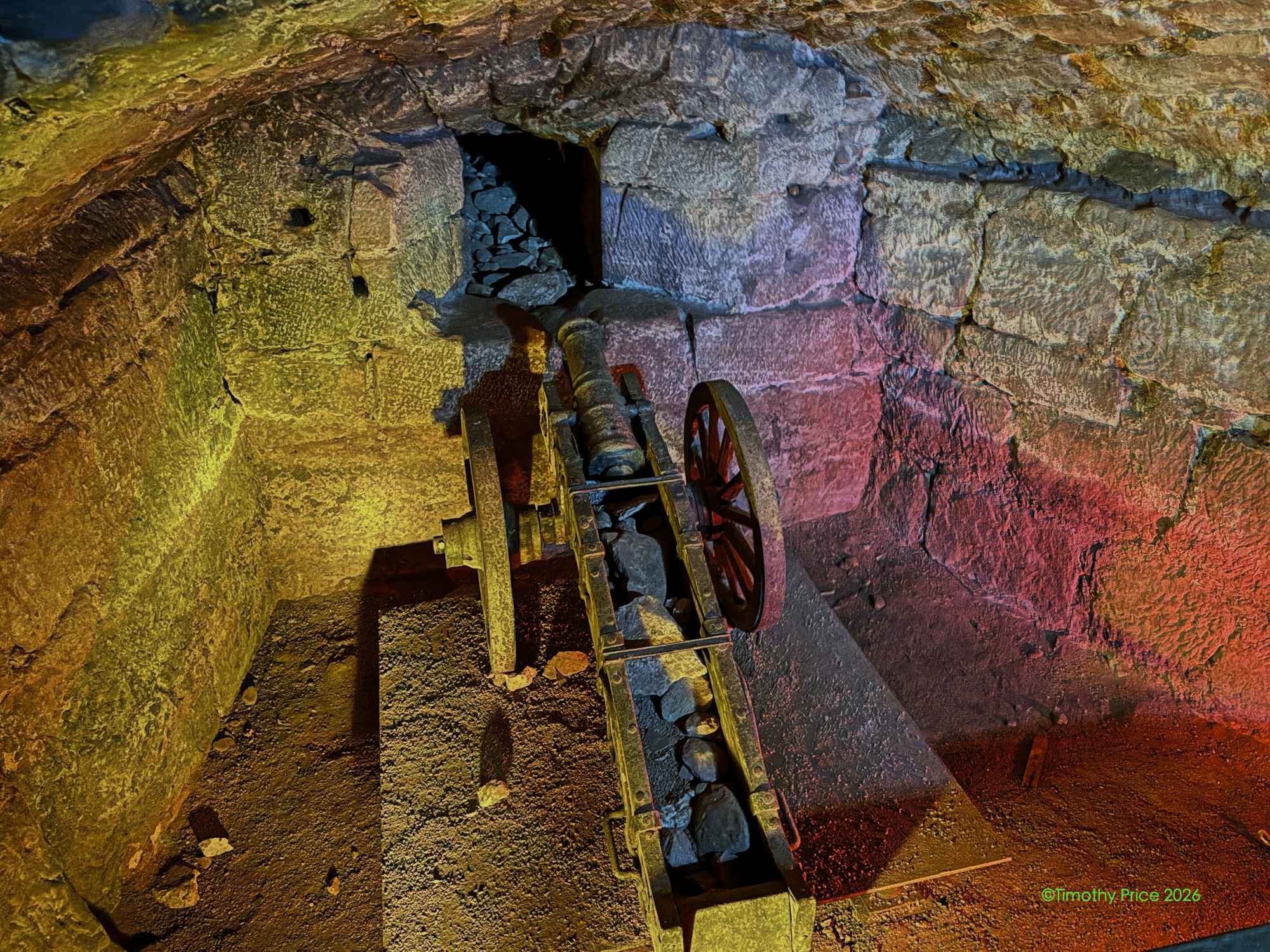
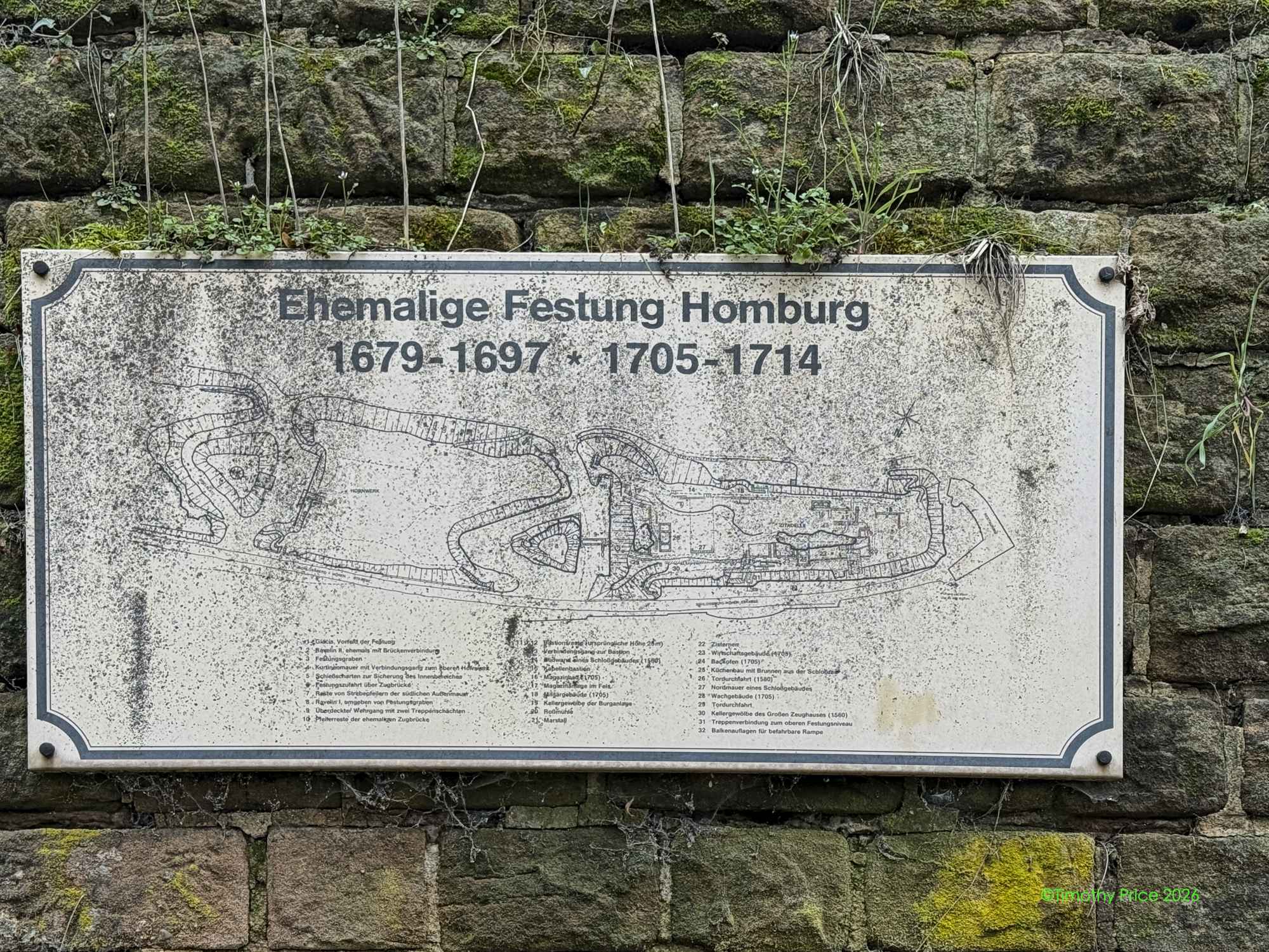
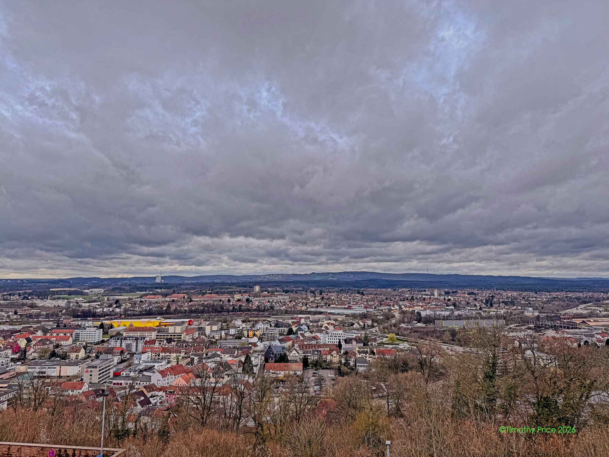
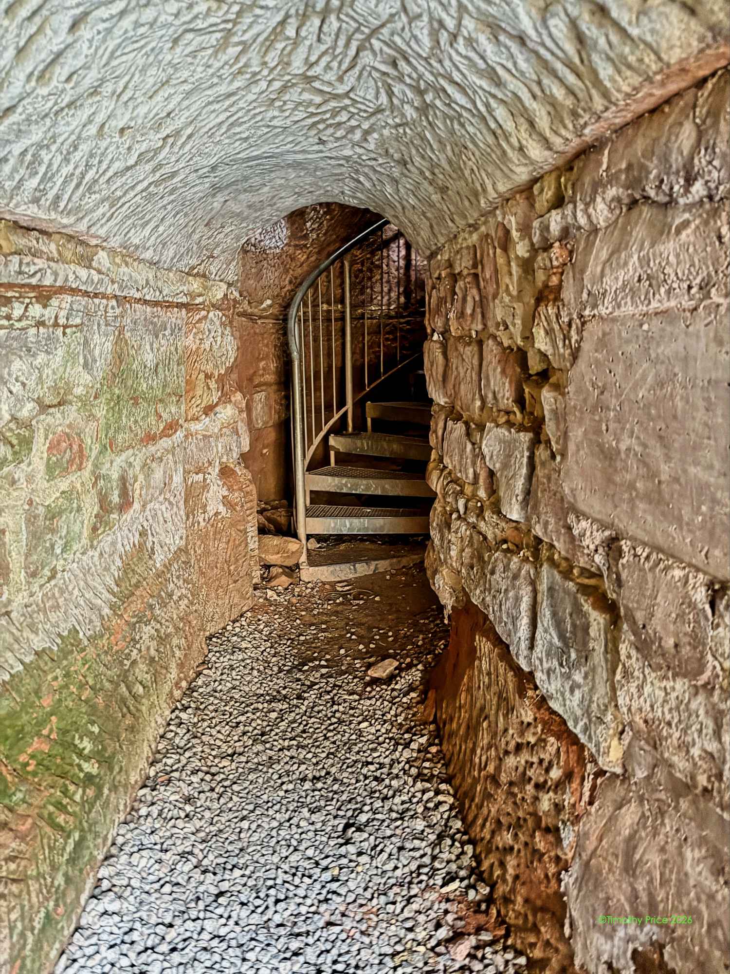
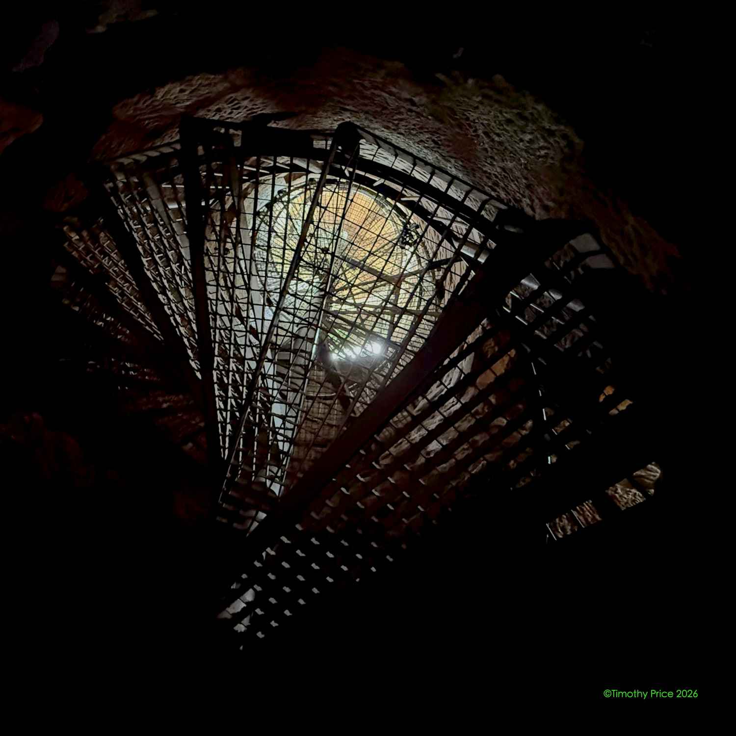
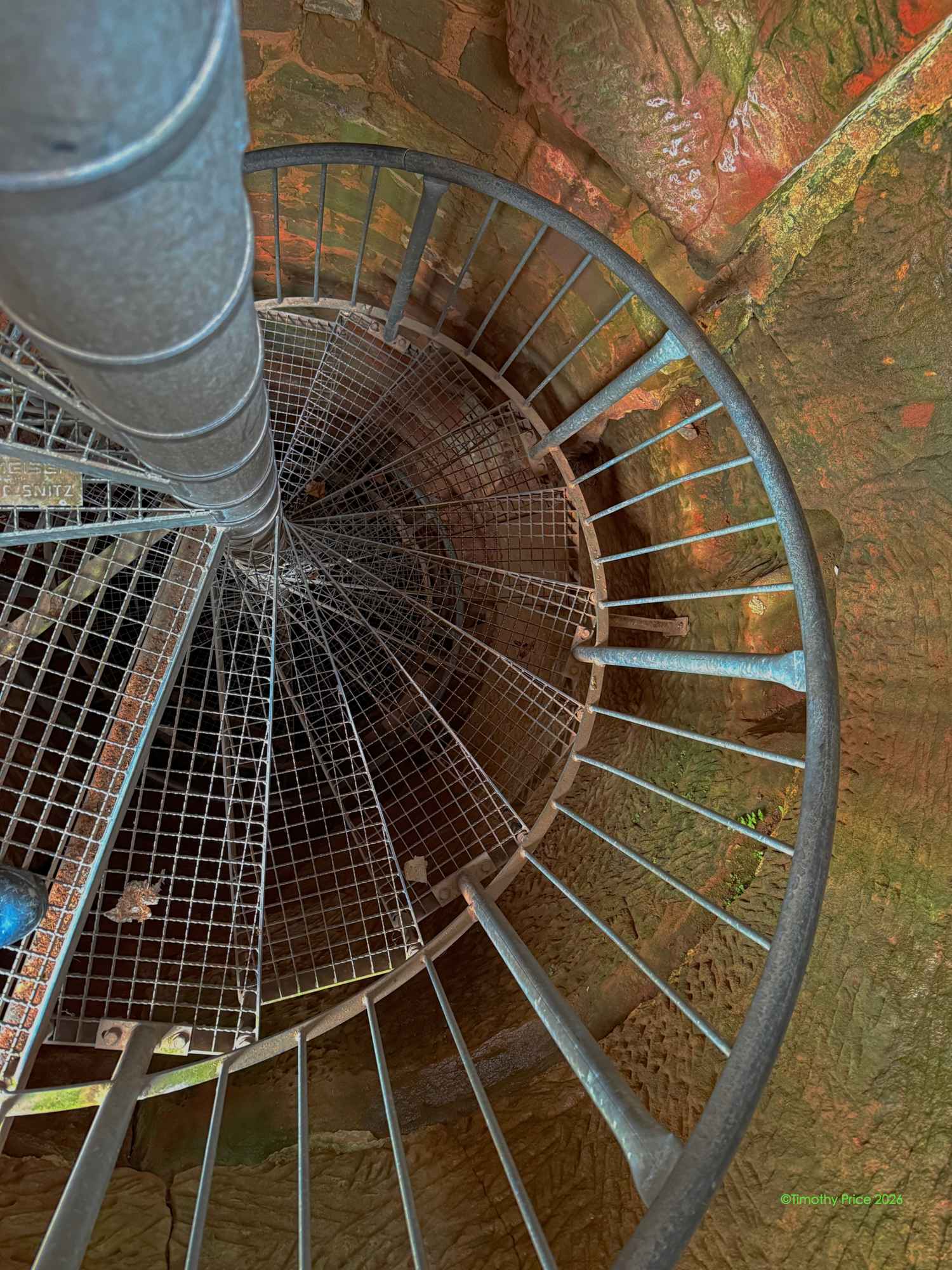
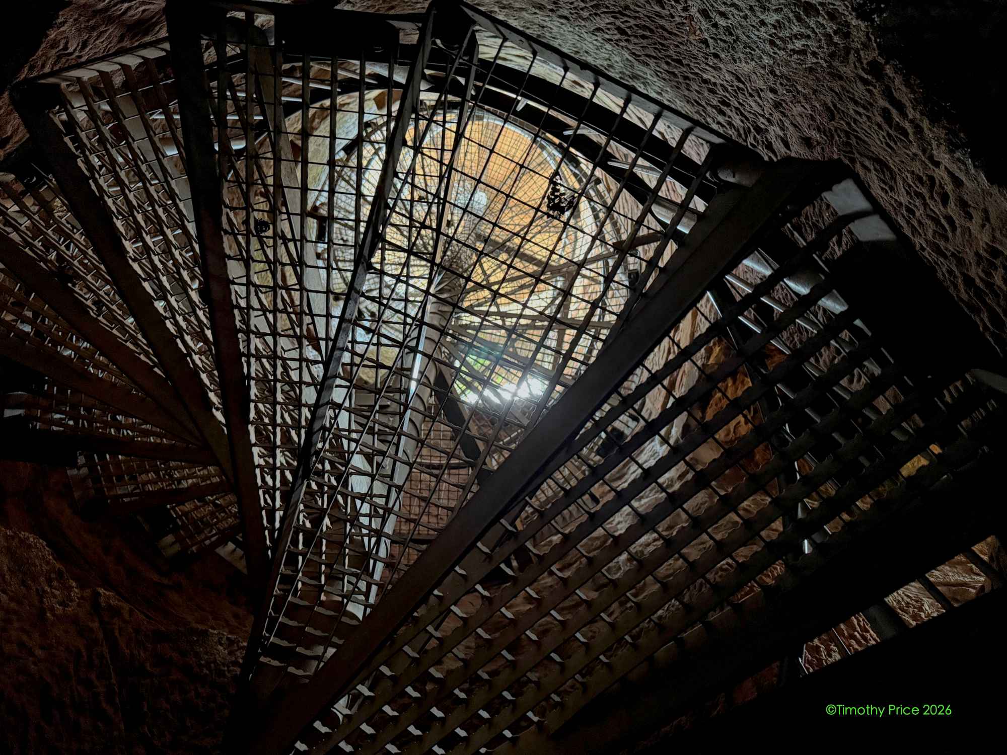
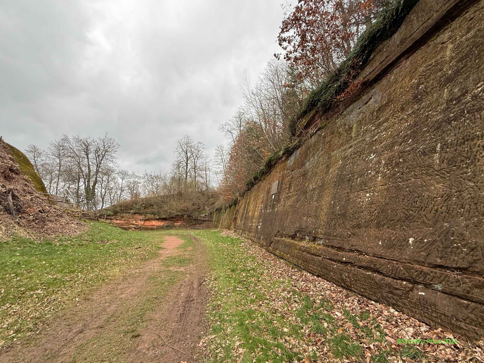
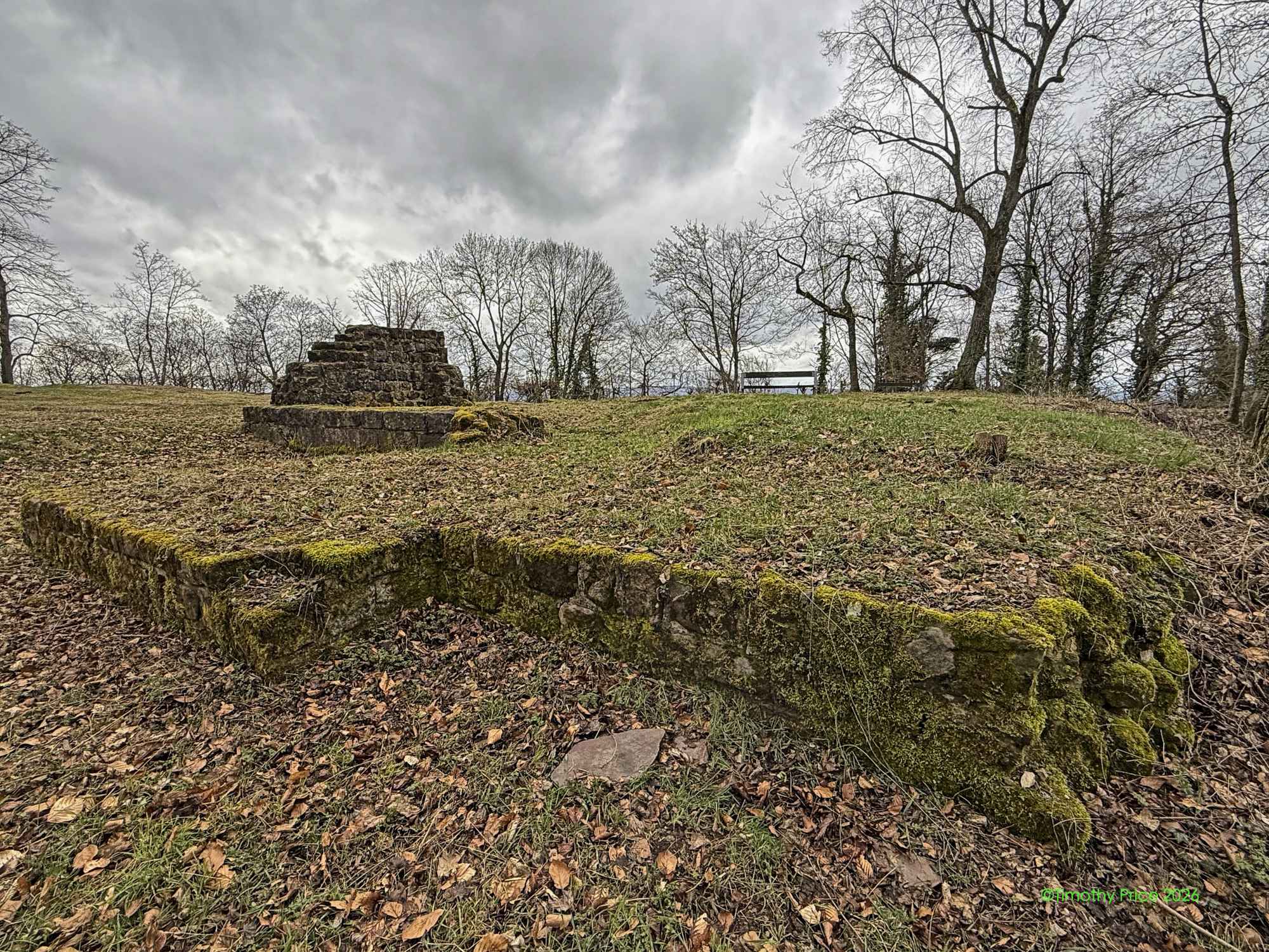
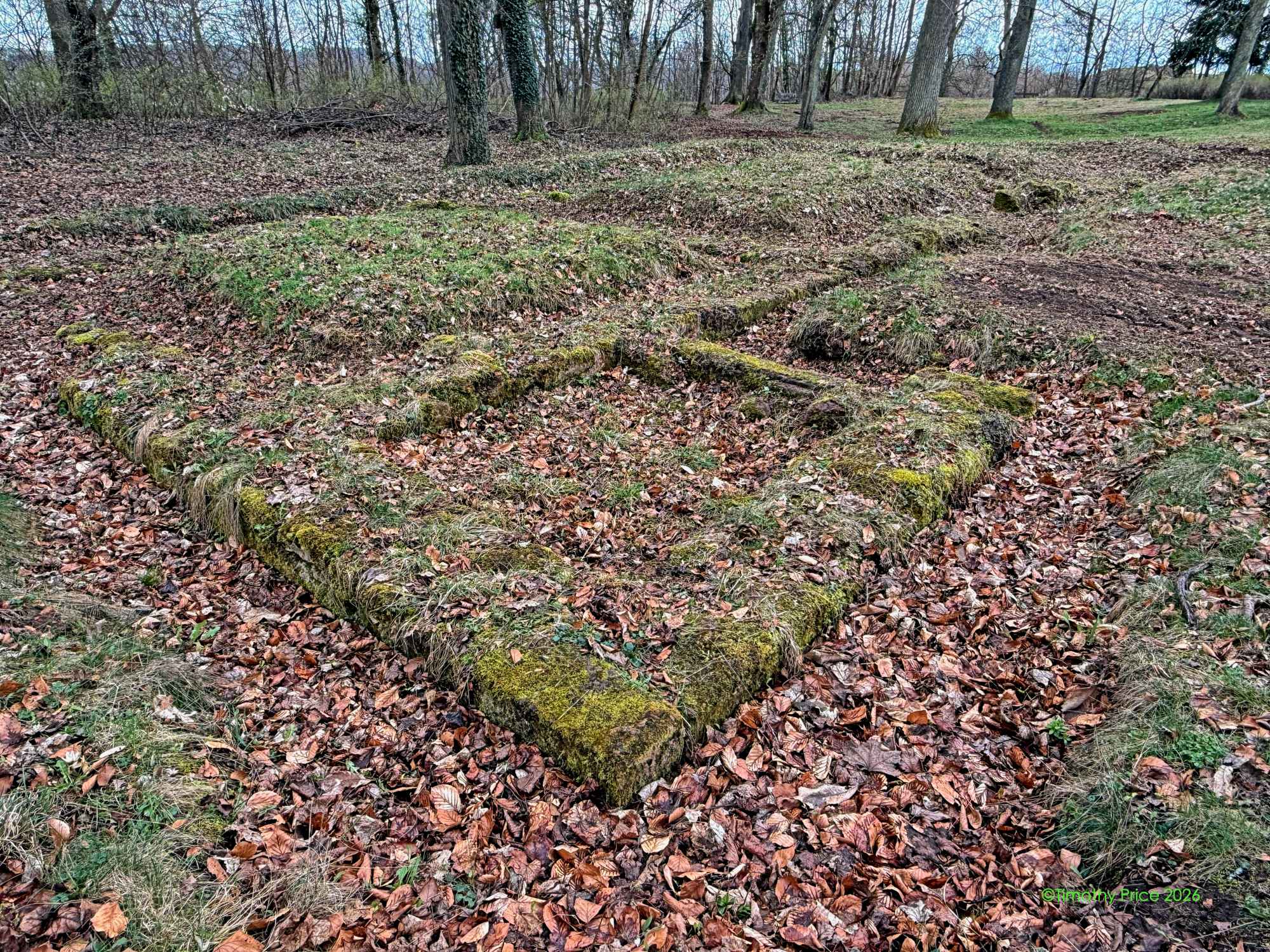
On to Ehemalige Festung Homburg
Homburg
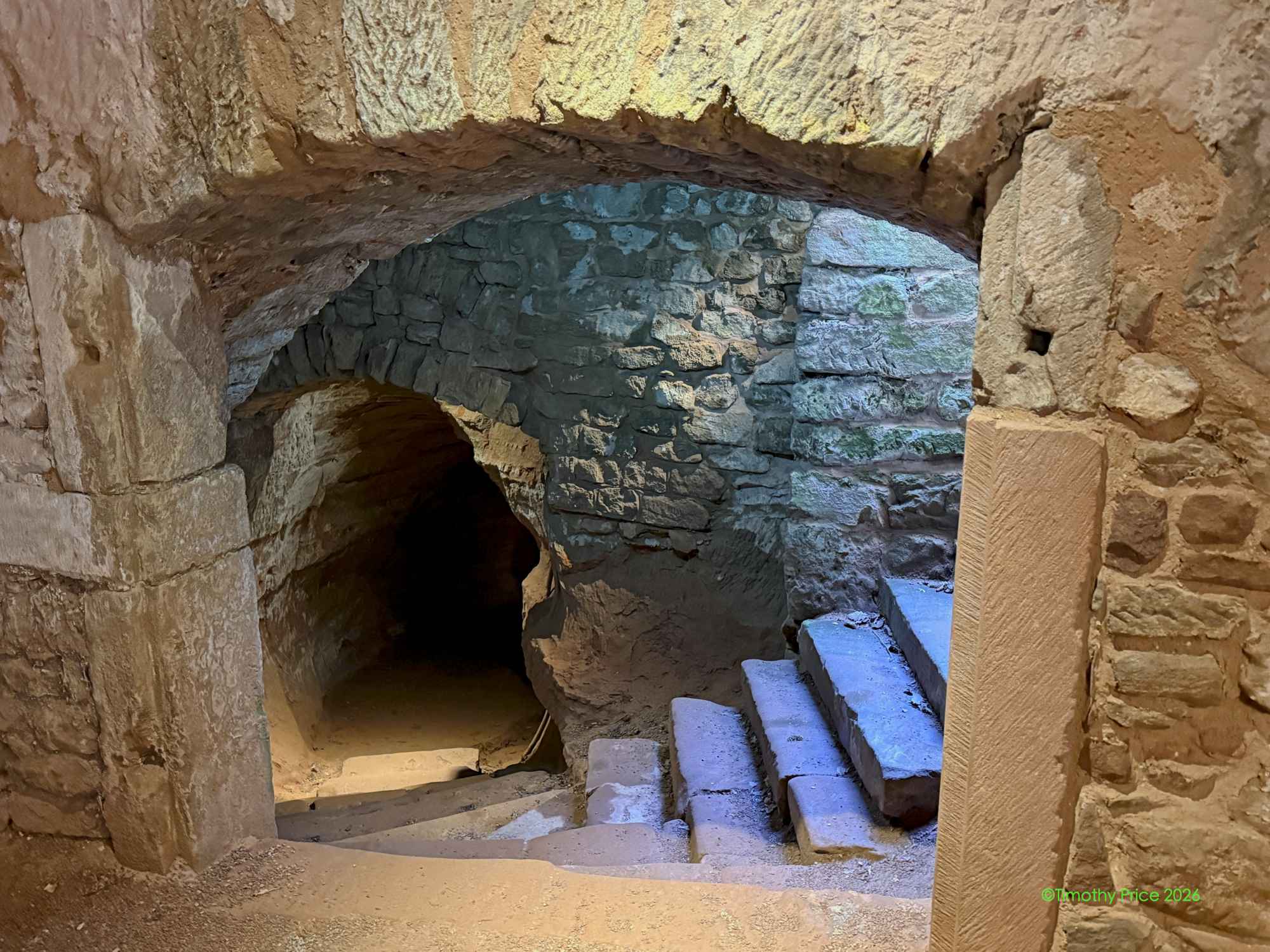
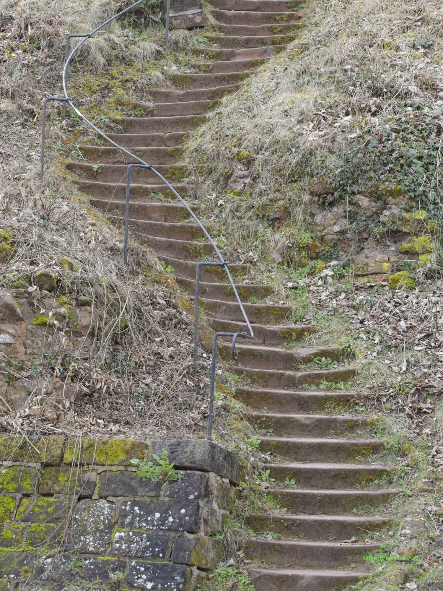
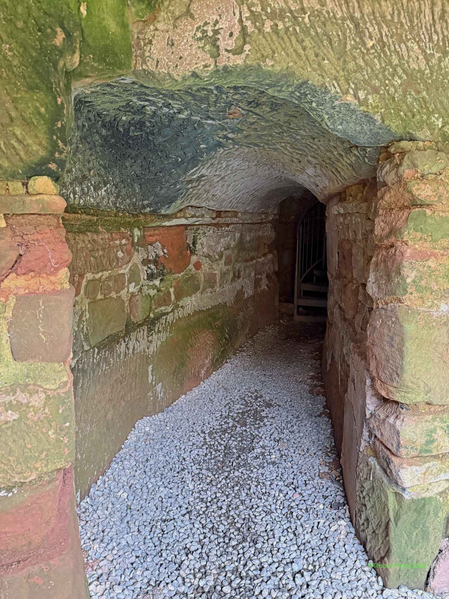
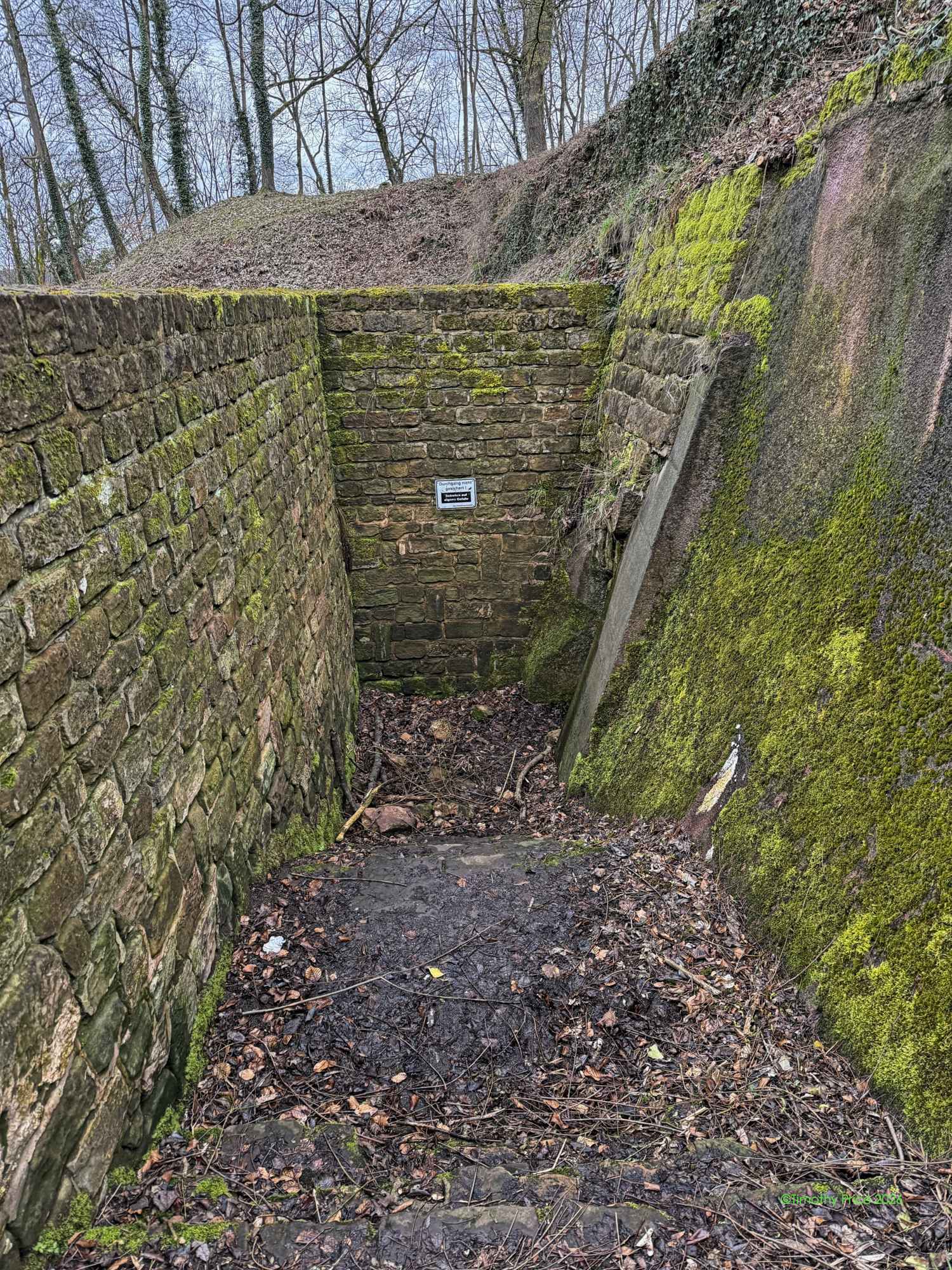
With castle ruins comes more tunnels and stairs
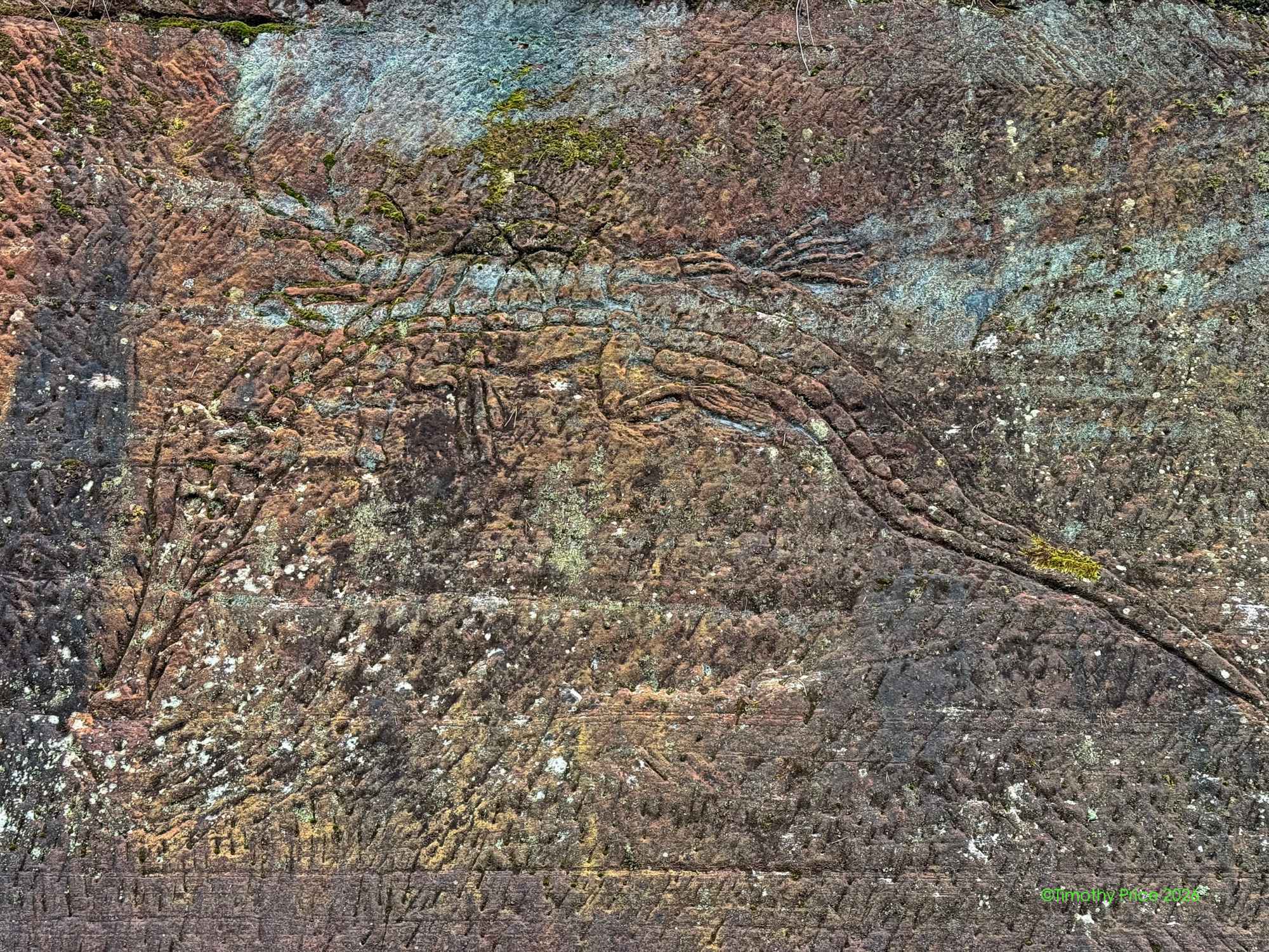
A scratching of the 250-million-year-old ichthyosaur remains they found in the limestone in 1968.
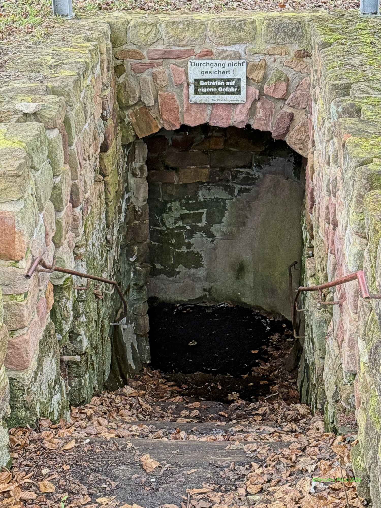
The sign says it’s dangerous. I had to check it out. When I stepped on the floor and started to sink in the much, I decide the sign was not kidding.
Another danger sign
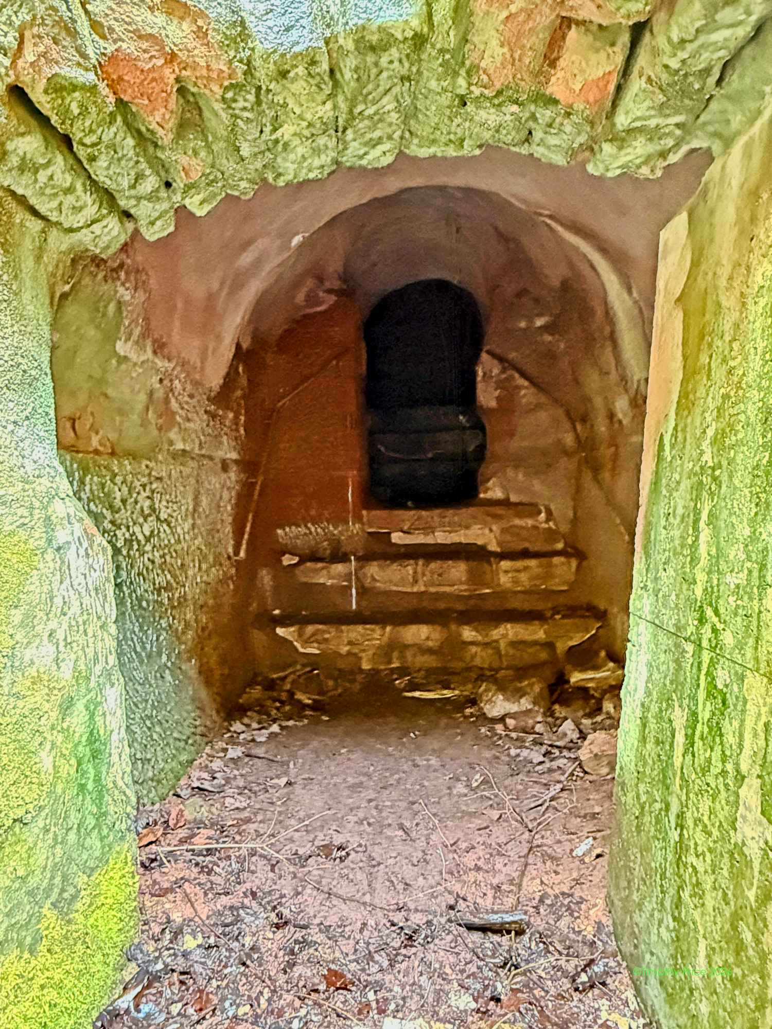
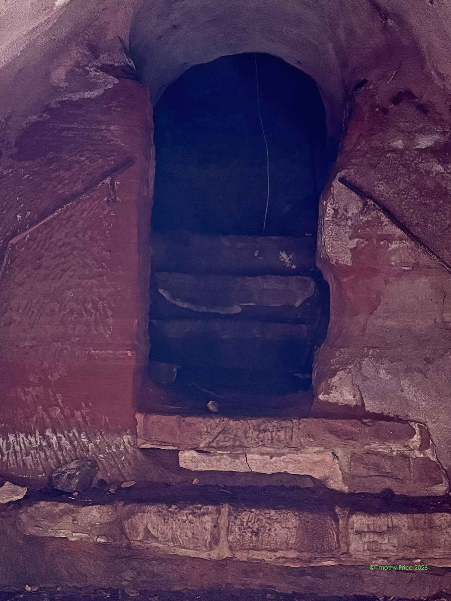
Where I would have come out if I have ventured past the muck
Atlas eared me that I was a wimp for not going through the dangerous tunnel.
I came across a wheelbarrow on a landing looking for the restroom at an Asian restaurant. I got confused. It could have been from jet lag, the Dragon Fruit drink, or the pole dancing. It’s hard to say.
Atlas giving me an ear up for getting lost trying to find the restroom at an Asian restaurant.
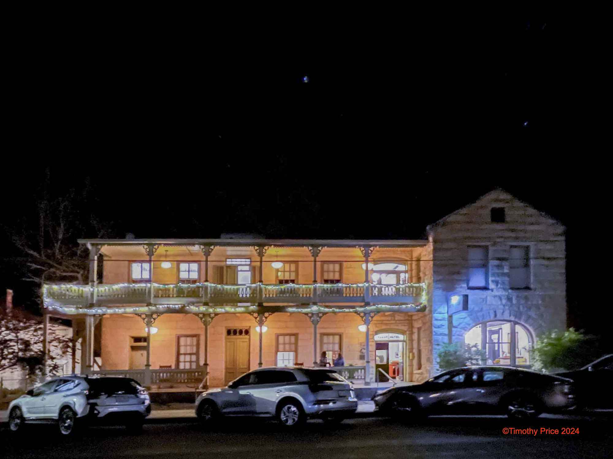
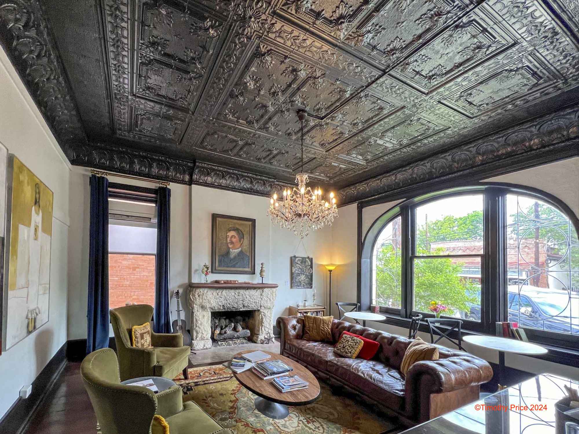
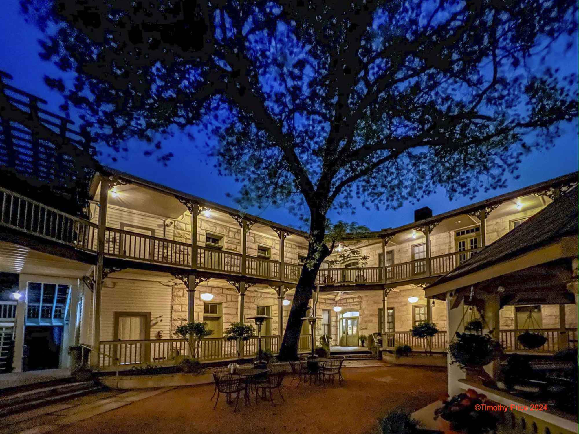
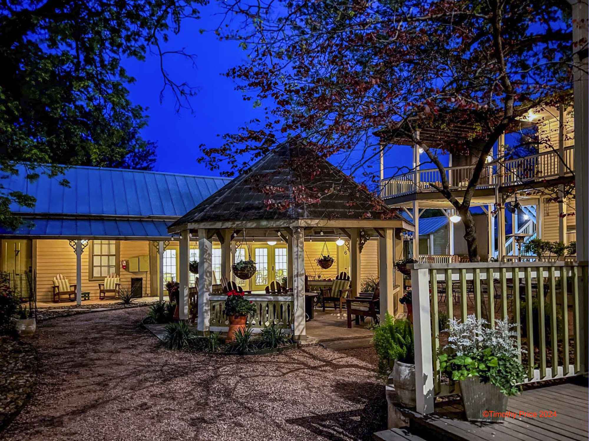
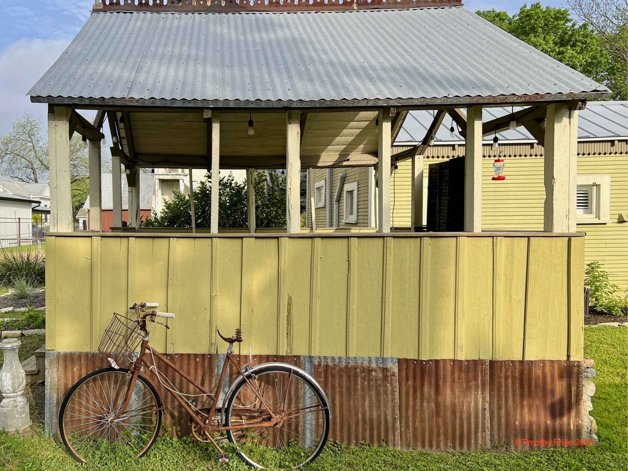
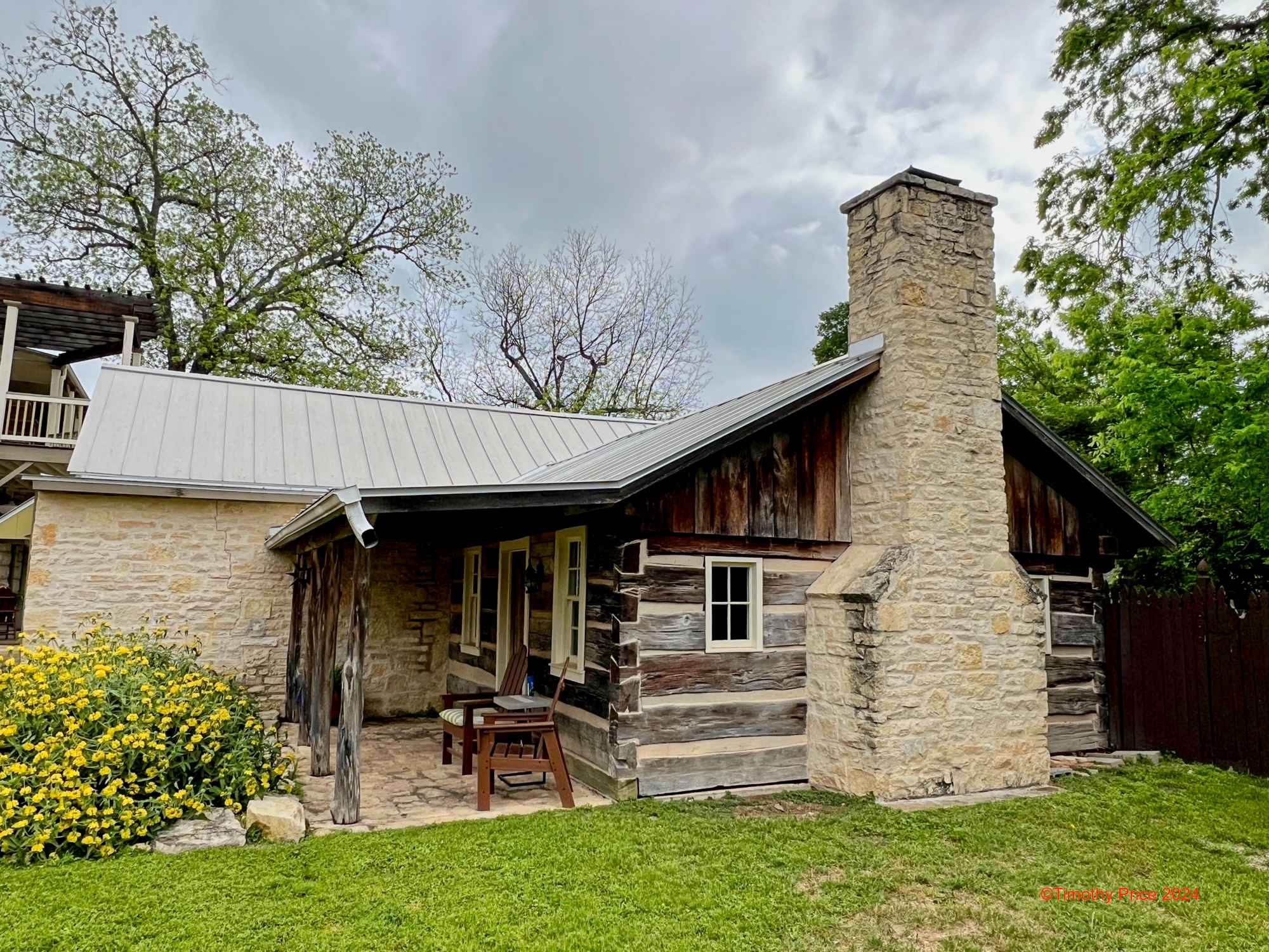
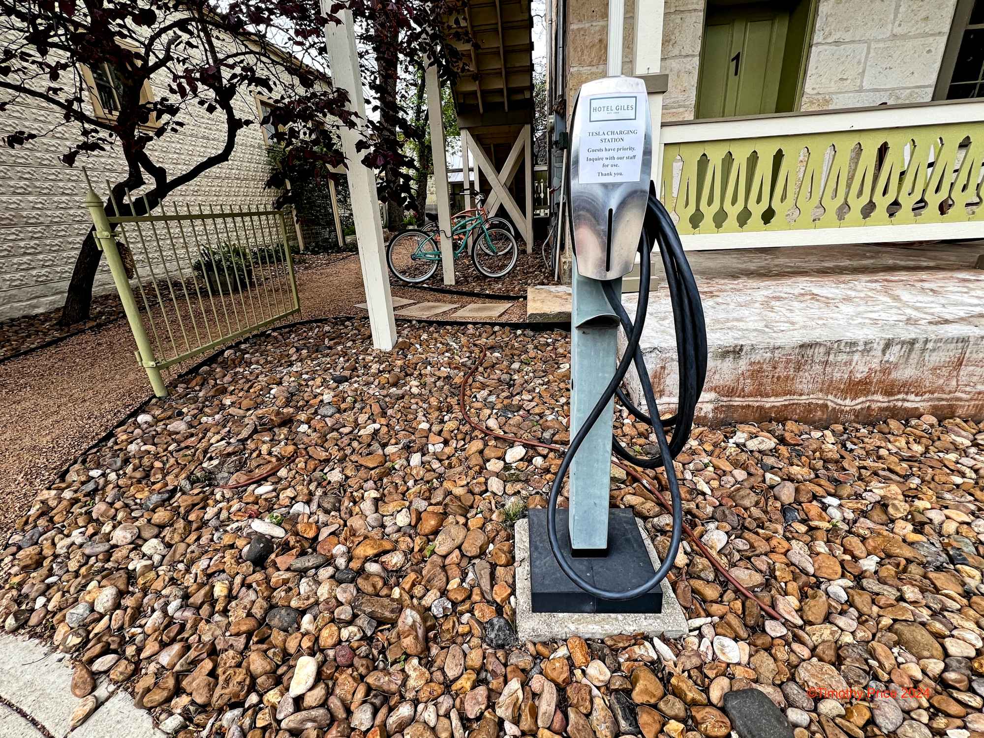
At this time last week, we were staying at the Hotel Giles in Comfort, TX (https://www.hotelgiles.com/). We had driven 687 miles to Comfort to experience the total eclipse of the sun. Comfort, TX, was in the direct path of the eclipse, so we got around 4 minutes and 20 seconds of totality. Hotel Giles is a wonderful hotel that was perfect for viewing the eclipse with its large open space behind the hotel. The owners and staff were friendly and went out of their way to make our stay pleasant and memorable. They kept us informed on what was happening in Comfort, arranged for lunch, and made the guests dinner for a reasonable price on Monday since most restaurants were closed on Monday. A delicious home-cooked breakfast was included in the price of the room, and the coffee was excellent. If you are in the area, I highly recommend staying at the Hotel Giles.
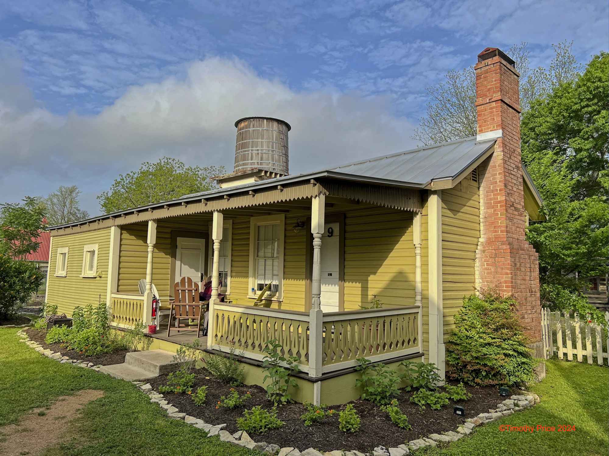
The Hotel Giles was originally Hotal Faust, designed and built by architect Alfred Giles for Paul Ingenhuett in 1880. Alfred Giles was an English architect who moved to San Antonio, TX, in 1875 for health reasons and became a well-known and influential architect in San Antonio, southwestern Texas, and northern Mexico. He was also involved in ranching near Comfort. You can read more about Alfred Giles at https://en.wikipedia.org/wiki/Alfred_Giles_(architect).
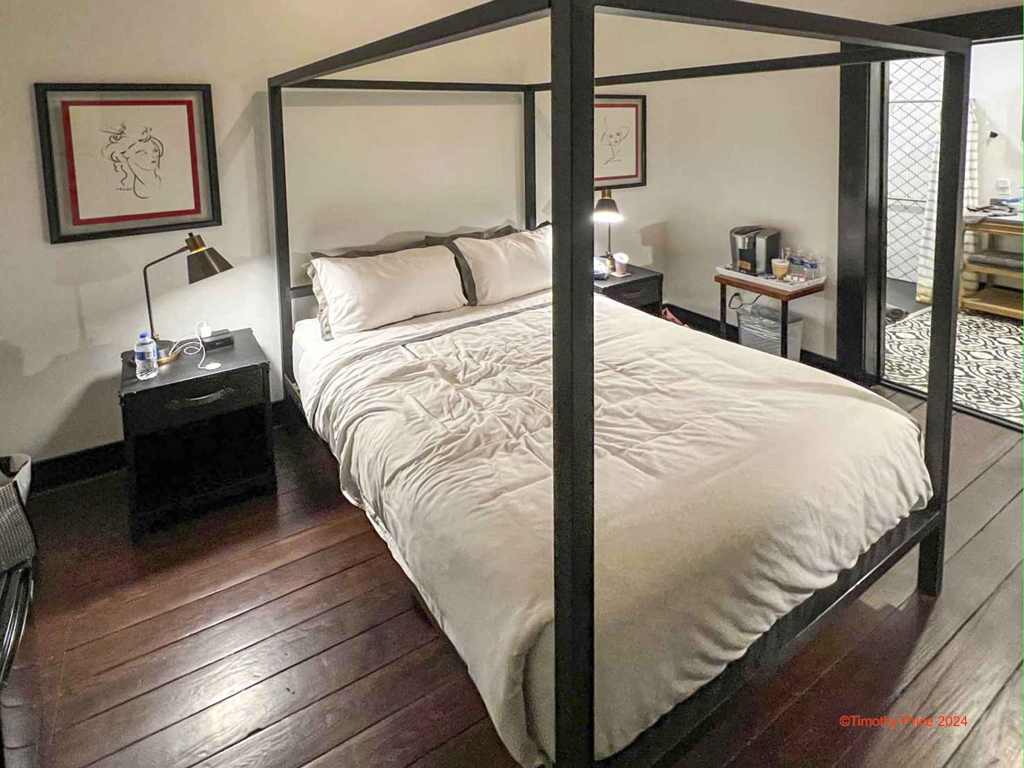
The room we stayed in.
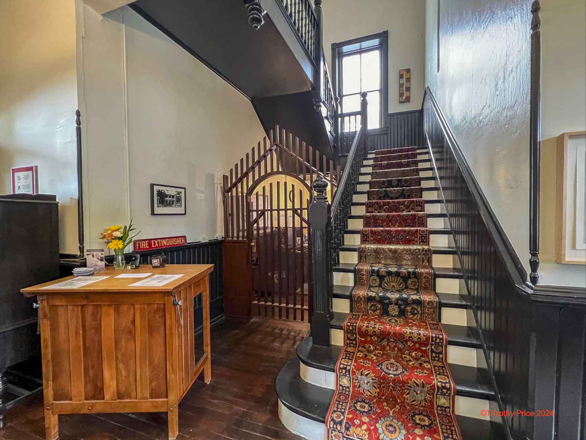
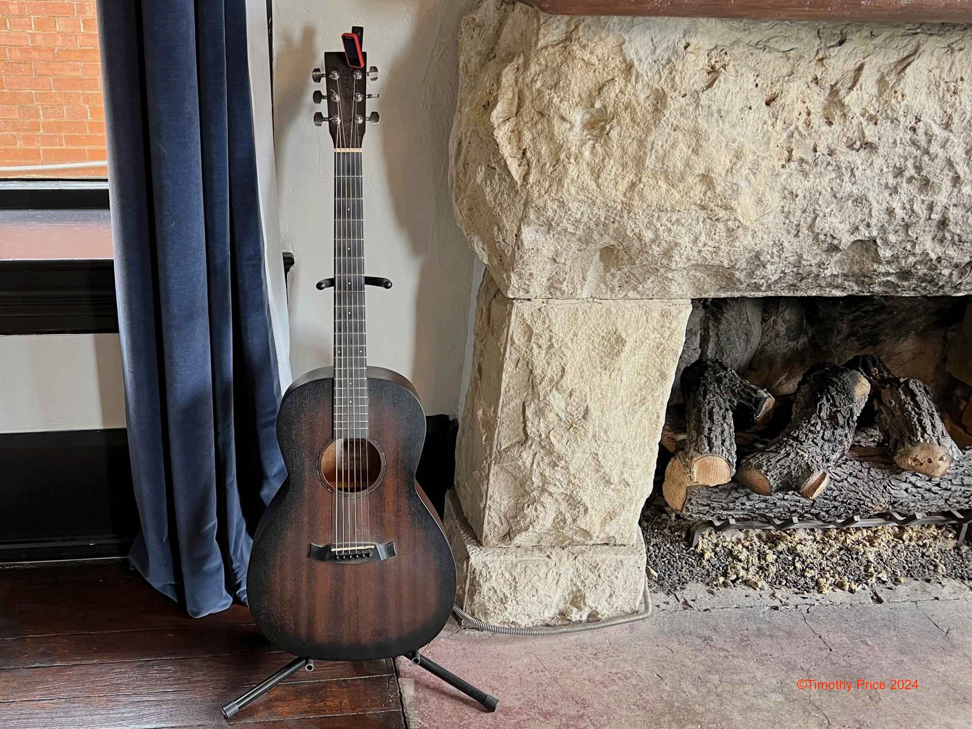
Interior stairway and the Parlor where guests gather. They have jam sessions on Friday nights.
This guy had been waiting for years for the eclipse.