You can see a real balancing act at http://photos.tandlphotos.com/blog/2016/3/balance
You can see a real balancing act at http://photos.tandlphotos.com/blog/2016/3/balance
I saw a headline that NASA was paying people $18,000 to lay in bed for 70 days. I didn’t take time to read the article, but I started thinking about how it would be impossible for me to lie in bed for 70 days when I can hardly lie down for 20 minutes to ice the incision from surgery this morning.
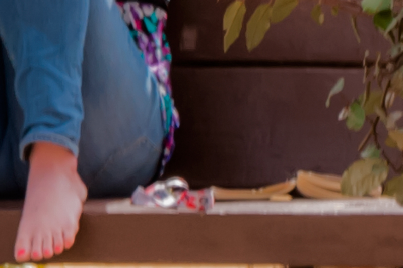
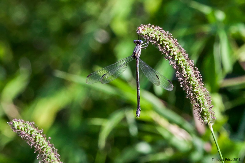
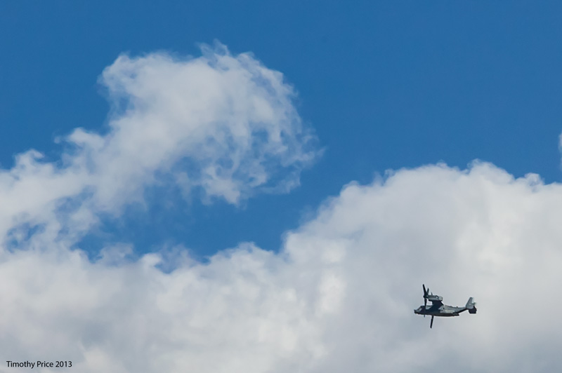
We checked in at the hospital at 6:00 am, and got back home about 11:00 am from getting a couple of hernias fixed. I have a pain pump hanging off my shirt, have had a bird on my shoulder most of the afternoon, a bag of ice in my pants off and on, and a gathering of big, fat, bad kitties temping me to pick them up. The pain pump is filled with a local anesthetic that will keep the surgical area numb for a couple days to enhance healing, and reduce the need for narcotic pain killers. I haven’t had any pain so far, and so I have been feeling rather perky. When I do lie around on the deck, I watch and photograph critters, clouds and the the occasional Osprey that flies by.

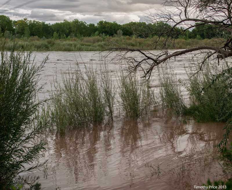
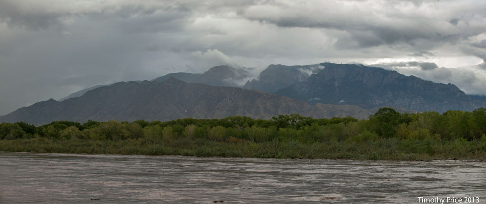
We got another 7/8 inch of rain overnight, but there has been heavier rains up north that are causing the Rio Grande to rise. The first photo taken at 6:00 pm on Friday the 13th, shows the river up about 6 feet above where it normally runs this time of year. The following two photos are close to the same view of the Sandias and Rio Grande, but the first one was taken about 5:50 pm on Friday the 13th and the second one was taken in December 2011. I would have like to have had a photo of the river and Sandias from June 2013 when the river was really low, but the bosque was closed, so I wasn’t able to get the river to do photos.
Currently, the river has to rise another 5 feet before it will get into the bosque, and then it would have to rise about 25 to 30 feet before it would go over the levees. I don’t think we have had enough rain for the river to flood our area. I’ll be surprised if it rises enough to get into the bosque, but I’ll check in the morning a see where it is.

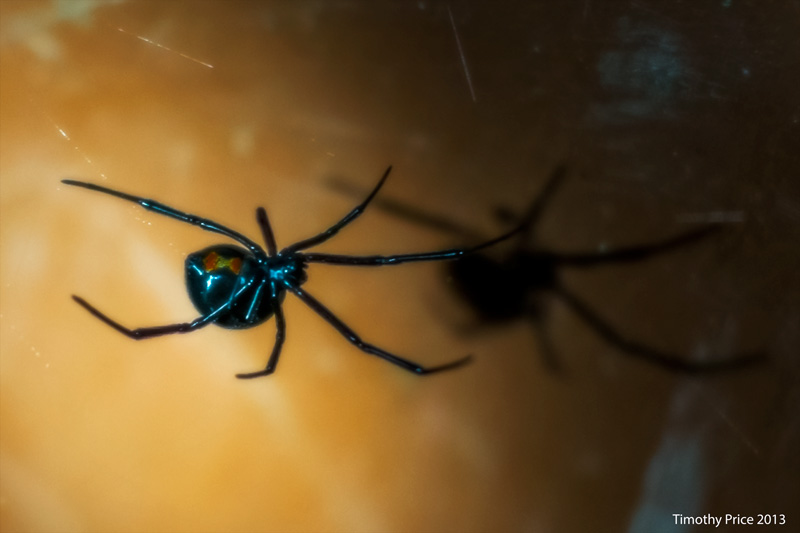
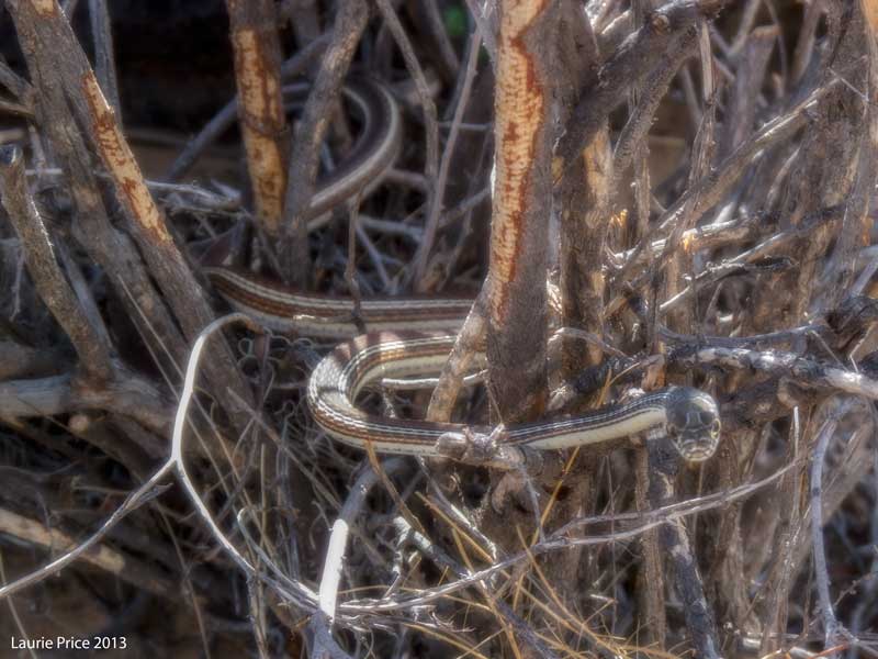
This black widow greeted me when I took out the trash and a ribbon snake greeted Laurie while she was hiking in the petroglyphs.
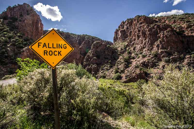
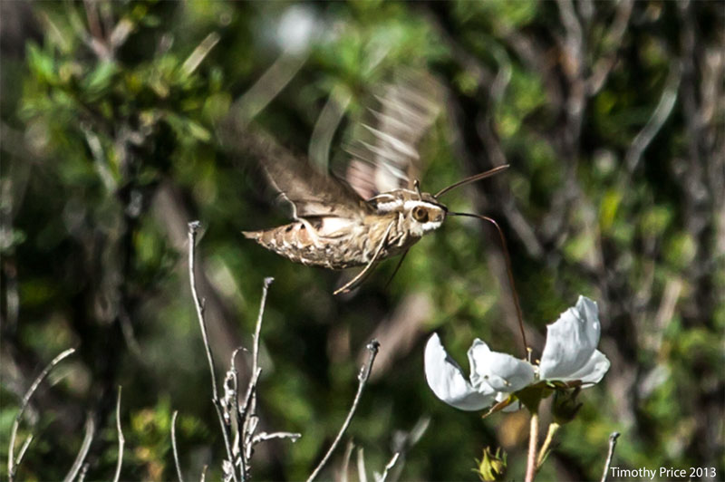
NM 485 becomes a one lane road as it enters Rio Guadalupe Canyon, so we parked on a wide pullout about 1/4 mile from the mouth of the canyon, and walked along the edge of the road into the canyon. After photographing the “Falling Rock” sign, I turned around to find a humming bird moth working the flowers in the brush behind me. The first guardrail along the road was covered with graffiti.
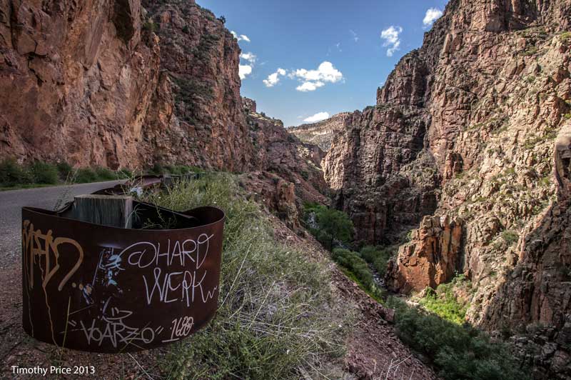
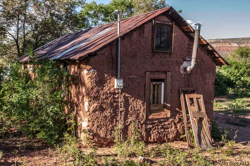
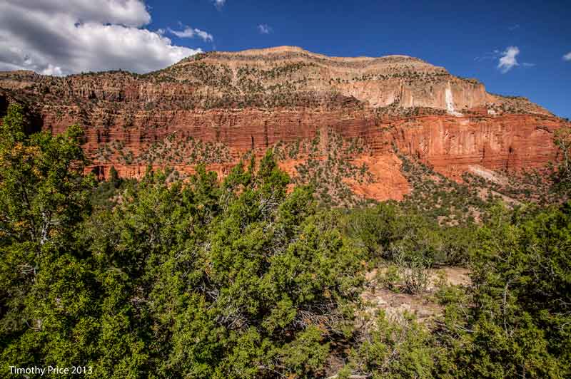
Between Jemez Pueblo and Jemez Springs is the junction of NM 4 and NM 485. New Mexico 485 heads west and then north through Gilman and Port and reconnects with NM 4 north of La Cueva. The old adobe in Gilman has a red mud plaster from the red soils found in the Jemez. The red cliffs and prickly pear cactus are at the mouth of the Rio Guadalupe Canyon.

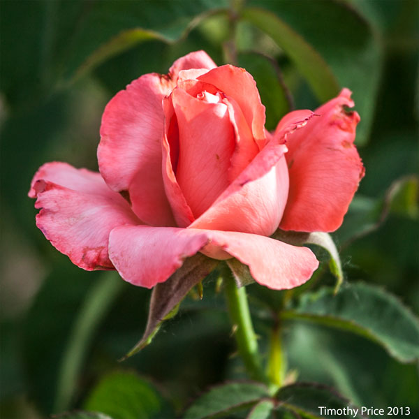
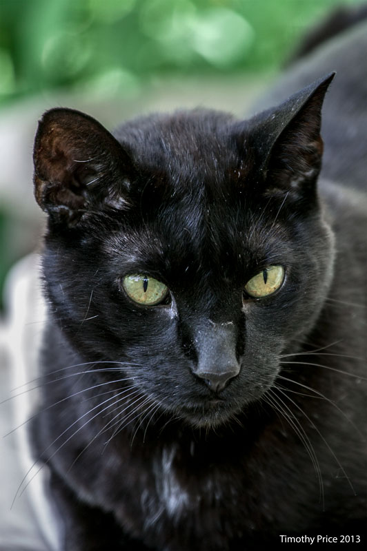
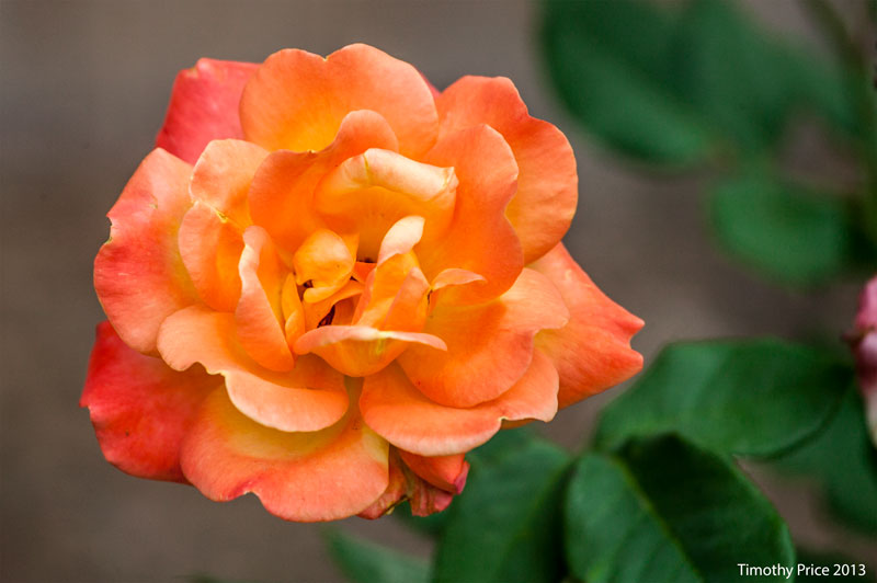
The roses don’t look too bad, but they are definitely stressed by the heat and limited water they are getting. Rosencrantz is as feisty as ever.
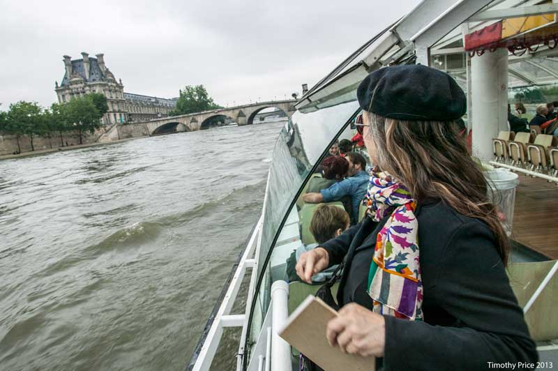
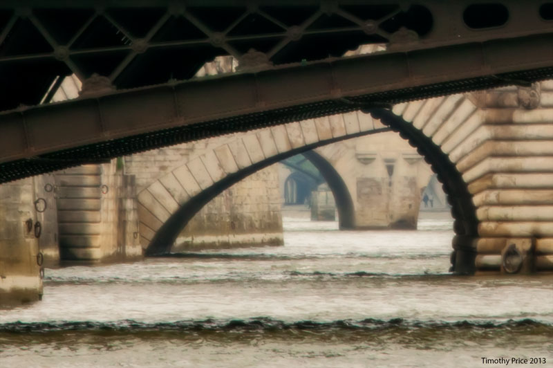
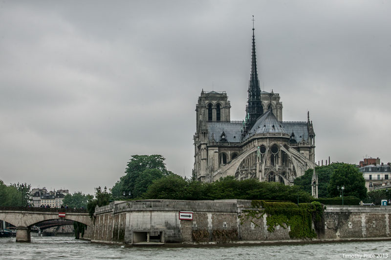
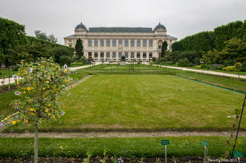
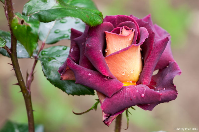
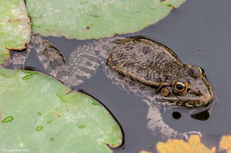
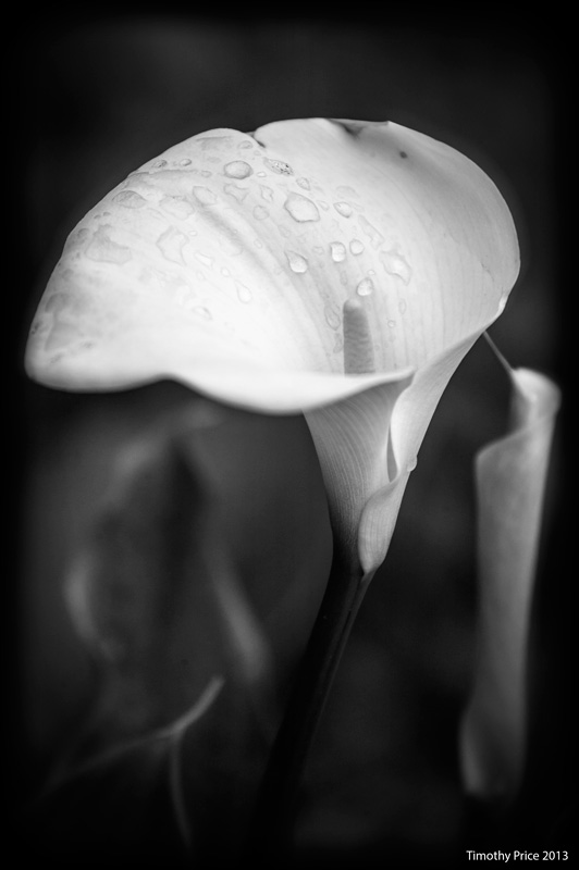
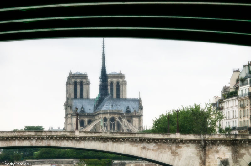
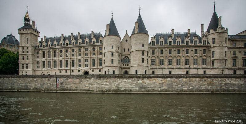
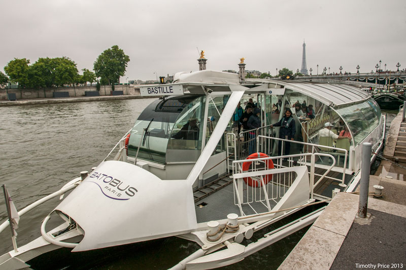
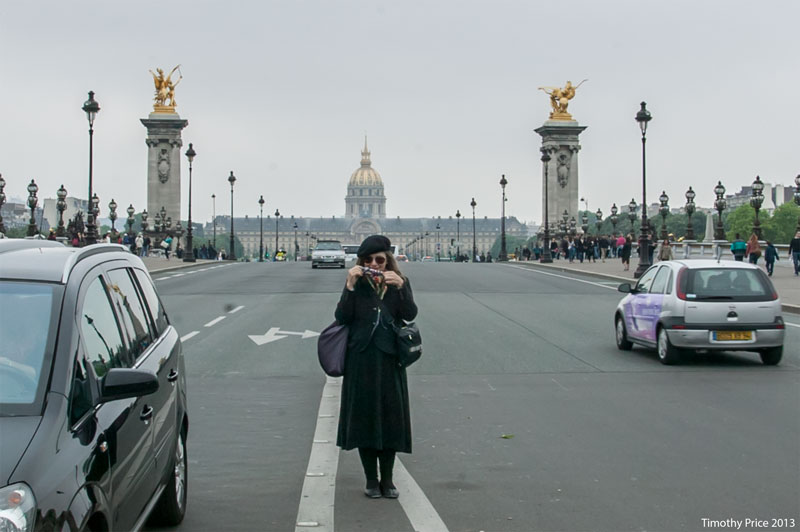
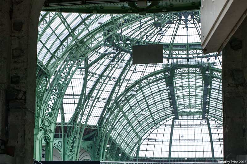
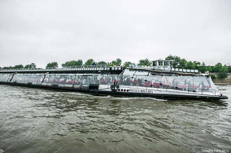
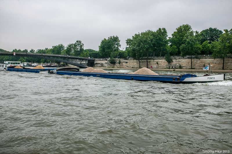
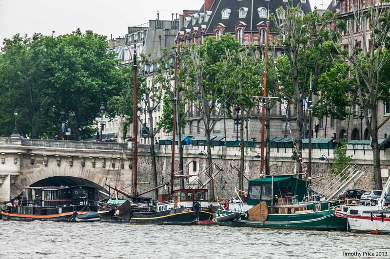
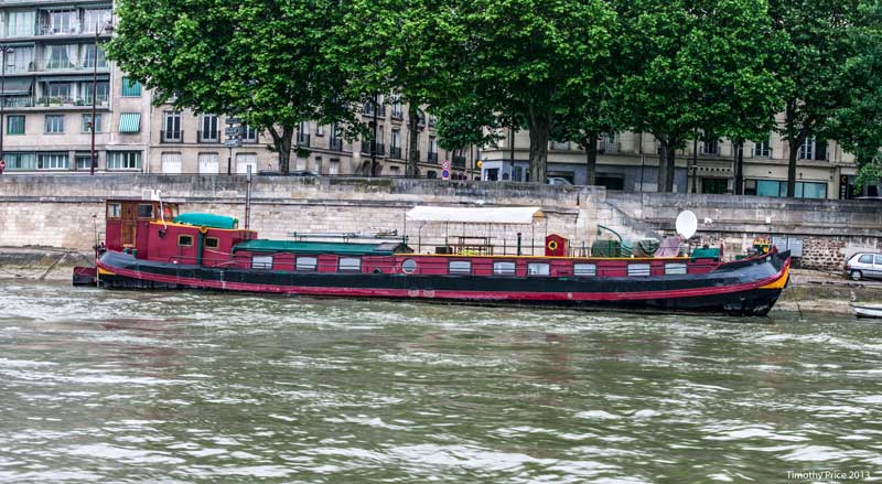
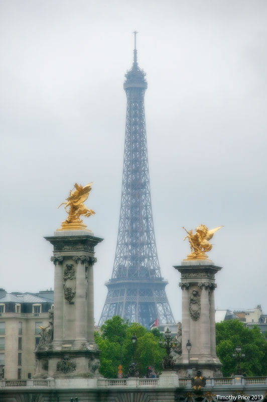
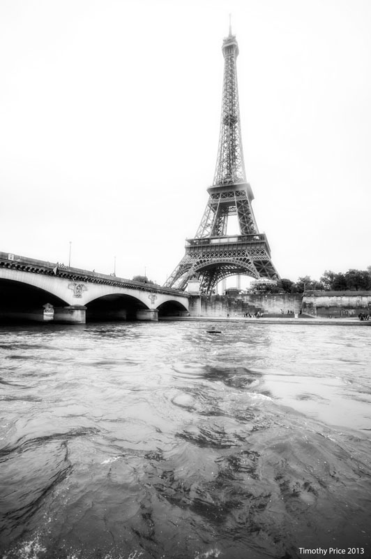
The rain started falling during the night and continued all day yesterday. Our museum pass had run out, so we planned to go to some of the sites that were not on the pass, but we didn’t want to walk to them in the rain. There’s the metro, but then Laurie got the idea to take the Batobus which is run by one of many companies that run tourist boats on the Seine. The batobus’ route runs from the Eiffel tower to the National History Museum and Gardens with six stops in-between. Once you buy a pass you can get on and off the boat as much as you want throughout the day. We got on the boat at noon, got off at the National History Museum (flowers and frog photos are from the garden) and Grand Palias (the last Crystal Palace built in 1900 before wide-use of electricity made the architectural style obsolete), and then we rode the boat for a couple of laps, because the views of the monuments from the middle of the Seine are unique and were magical in the misty air and rain. We got off the boat and headed home about 8:00 pm. One person told us the Seine was 2 meters above normal — the current ran fast and the water was rough, so the ride was exciting at times. There are a lot of interesting boats on and along the Seine — many different types of tour boats, including large restaurant boats. Many barges make their way up the Seine, often sitting very low in the water as they move their loads up river; and many boats of various sizes and styles that people live in are moored along the river . The many bridges that cross the Seine looked like a labyrinth through my telephoto lens; the Eiffel tower was lacy in the misty rain, and the Palace of Justice and Notre Dam looked particularly medieval under the gray sky.
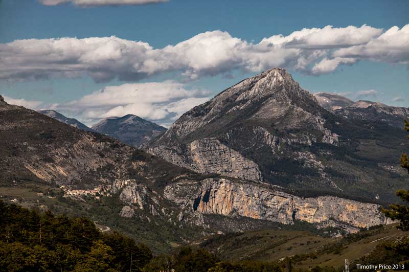
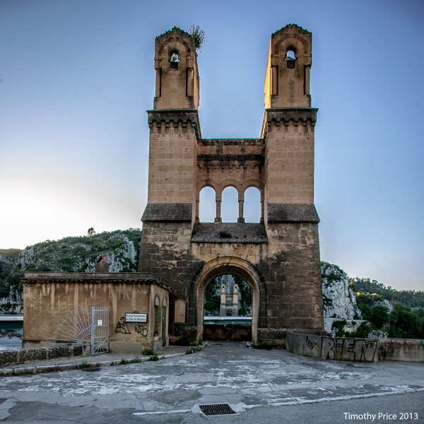
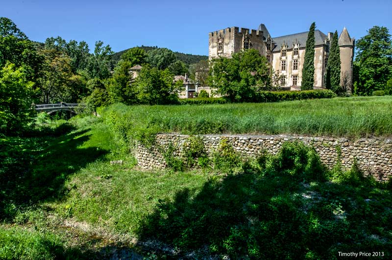
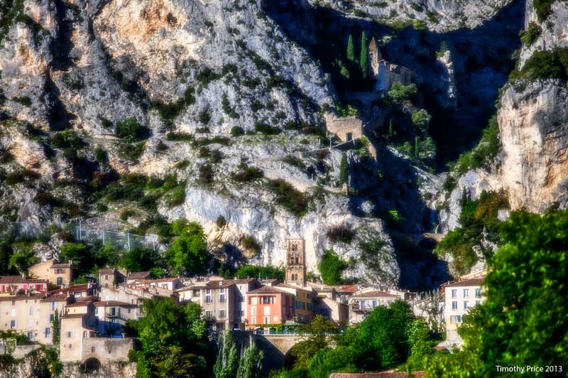
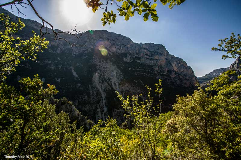
We drove northeast of Aix to the Grand Canyon du Verdon. We turned around at the first photo, which was the Clue de Chasteuille Réglès at 1447 meters above sea level. This is the lower end of the Alps, and at that point we were about 200 kilometers from the Italian border. At one point we had a really good view of the snowcapped Alps, but the road was too narrow to stop and get a photo, and by the time I could pull over, the snowcaps were out of view. Along the way we passed the remaining supports of an old suspension bridge at the confluence of the Durance and Verdon rivers, a castle at Allemagne en Provence where a group of men were playing pétanque. At the mouth of the canyon is Moustiliers St. Marie with churches built up in the steep walls of a small canyon above the village. Moustiliers St. Marie is well known for the fine pottery produced there. We drove through the canyon on very narrow roads hugging the cliff, which made Laurie very nervous, up to the top where we encountered the view of Clue de Chasteuille Réglès. On the way back down, we stopped and hiked about a third of the way down into the canyon. To hike all the way down to the river and back would have taken three or four hours, which we didn’t have time to do.


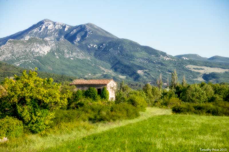
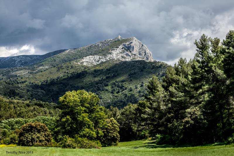
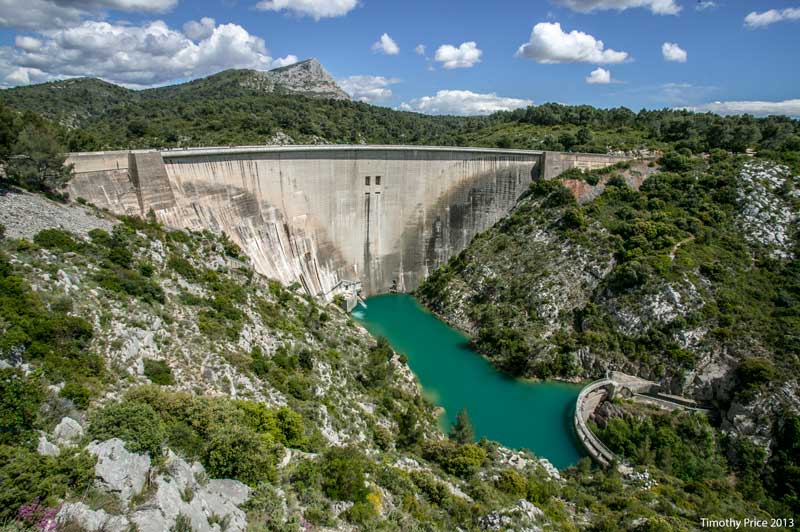
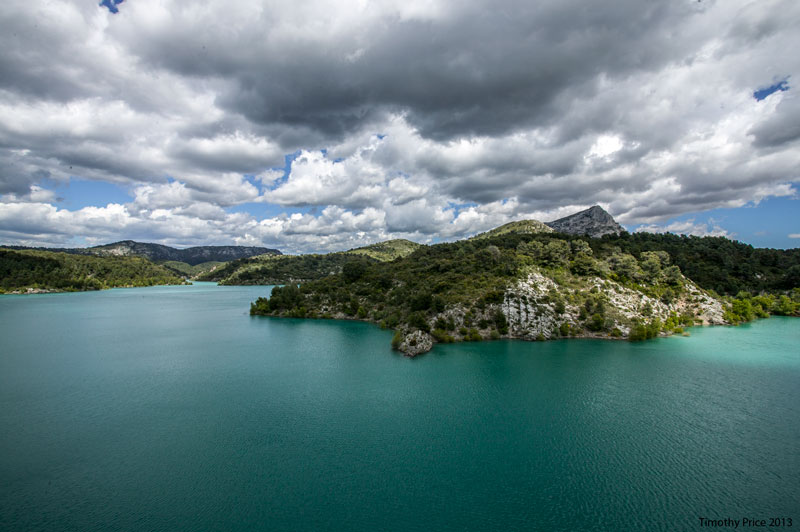
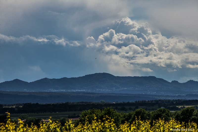
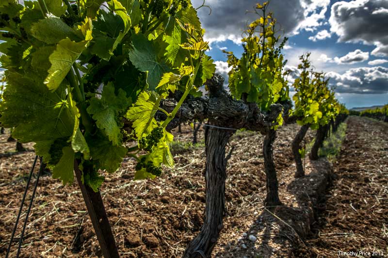
We took a drive around Montagne St Victoire, visited the Barrage de Bimont, a lake with a dam that was built between 1946 and 1951 and went into service in 1952 to supply water to Aix en Provence and other villages in the area. We drove on mostly very narrow and winding roads through forest with scenic views on the north side of the mountains, and through villages and vineyards on the east side of St Victoire. The weather was still cool and windy, but it was a beautiful day.